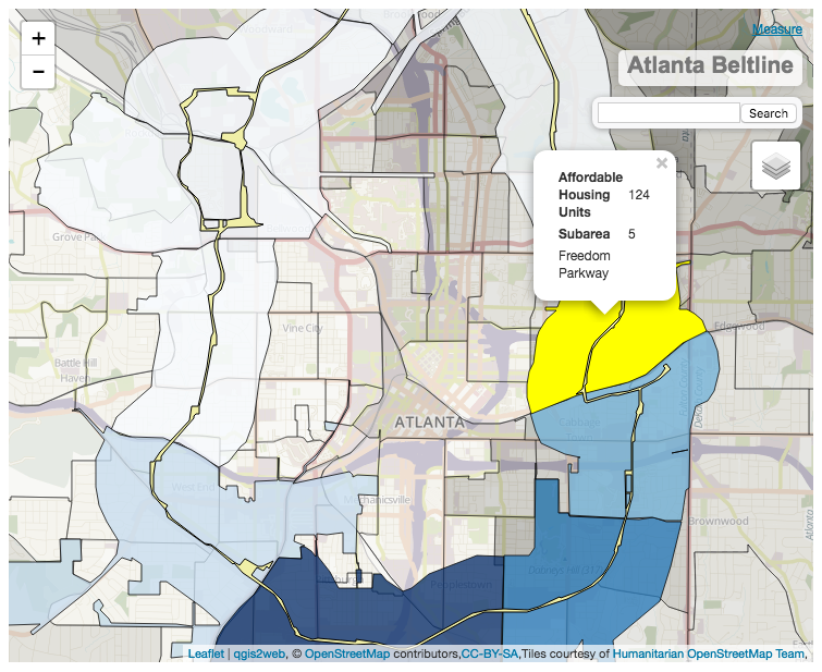
A map of the Atlanta Beltline project's development subareas imposed over median income by census block.

For a tutorial of how to use gqis2web and these shapefiles, see this presentation.
- QGIS
- qgis2web
- Leaflet.js
- Pym.js for responsiveness on mobile site
- Income 2015: http://opendata.atlantaregional.com/datasets/income-2015
- Beltline TCU Corridor: http://opendata.atlantaregional.com/datasets/coaplangis::beltline-tcu-corridor
- Beltline Subareas:
Created using Atlanta Beltline Google Map as reference: https://beltline.org/about/the-atlanta-beltline-project/neighborhoods/ (click "Expand Map" in left corner and select "Subareas").
Note that the subarea boundaries are not completely accurate, as the AJC does not have access to the City of Atlanta or the Beltline's subarea shapefiles. This rendering was done to the best of my ability, going street by street to define the boundaries. Use caution when referencing this map.
Seesubareas_shapefilesin this project for access to the shapefiles.