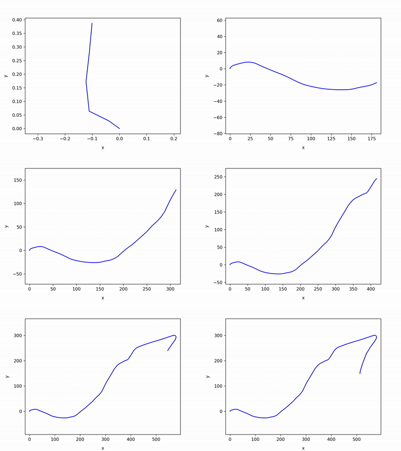
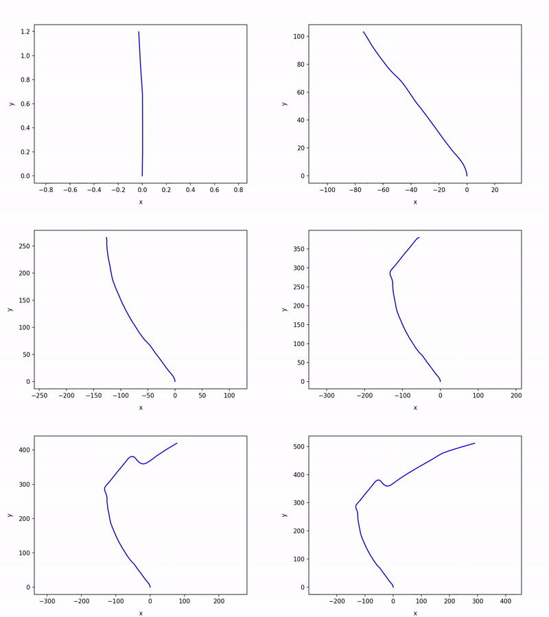
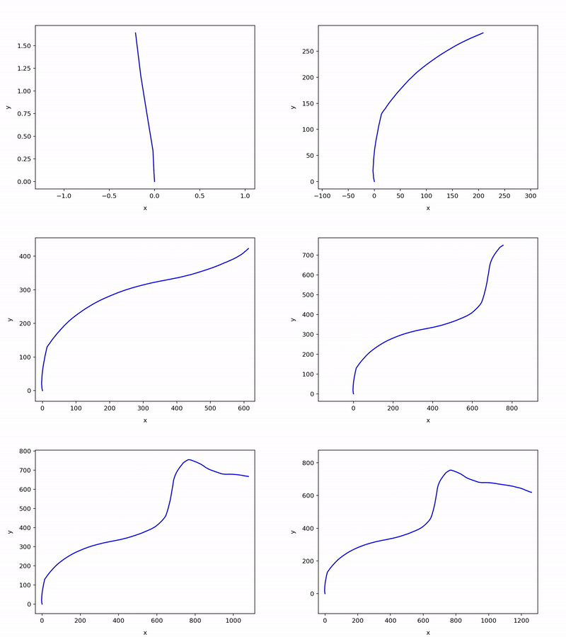
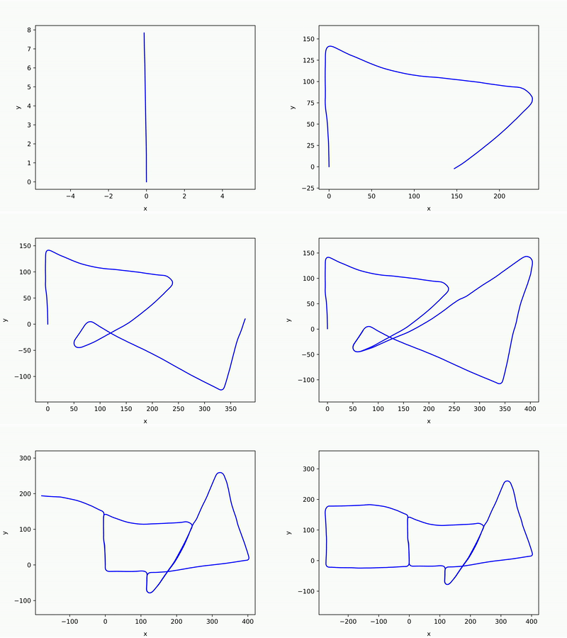
Full-python LiDAR SLAM.
- If you find a C++ version of this repo, go to SC-LeGO-LOAM or SC-A-LOAM.
- Full-python LiDAR SLAM
- Easy to exchange or connect with any Python-based components (e.g., DL front-ends such as Deep Odometry)
- Here, ICP, which is a very basic option for LiDAR, and Scan Context (IROS 18) are used for odometry and loop detection, respectively.
- Easy to exchange or connect with any Python-based components (e.g., DL front-ends such as Deep Odometry)
- Hands-on LiDAR SLAM
- Easy to understand (could be used for educational purpose)
- The practical use case of miniSAM
- The miniSAM is easy to use at Python
- In this repository, SLAM (Simultaneous localization and mapping) is considered as
- SLAM = Odometry + Loop closure
- In this repository, the state to be optimized only has robot poses; that is pose-graph SLAM.
- The pipeline of the PyICP SLAM is composed of three parts
- Odometry: ICP (iterative closest point)
- In here, Point-to-point and frame-to-frame (i.e., no local mapping)
- Loop detection: Scan Context (IROS 18)
- Reverse loop detection is supported.
- Back-end (graph optimizer): miniSAM
- Python API
- Odometry: ICP (iterative closest point)
-
Thanks to the Scan Context, reverse loops can be successfully closed.
- E.g., see KITTI 14 at Results section below.
-
Time costs
- (Here, no accelerated and naive) ICP gets 7-10 Hz for randomly downsampled points (7000 points)
- (Here, no accelerated and naive) Scan Context gets 1-2 Hz (when 10 ringkey candidates).
- if you need the more faster one, consider the C++ version of Scan Context (e.g., https://github.com/irapkaist/SC-LeGO-LOAM)
- miniSAM is enough fast.
Just run
$ python3 main_icp_slam.pyThe details of parameters are eaily found in the argparser in that .py file.
Those results are produced under the same parameter conditions:
- ICP used random downsampling, 7000 points.
- Scan Context's parameters:
- Ring: 20, Sector: 60
- The number of ringkey candidates: 30
- Correct Loop threshold: 0.17 for 09, 0.15 for 14, and 0.11 for all others
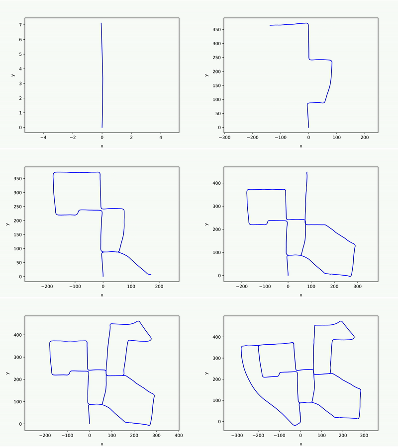
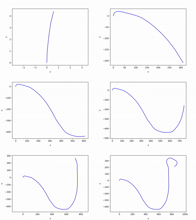
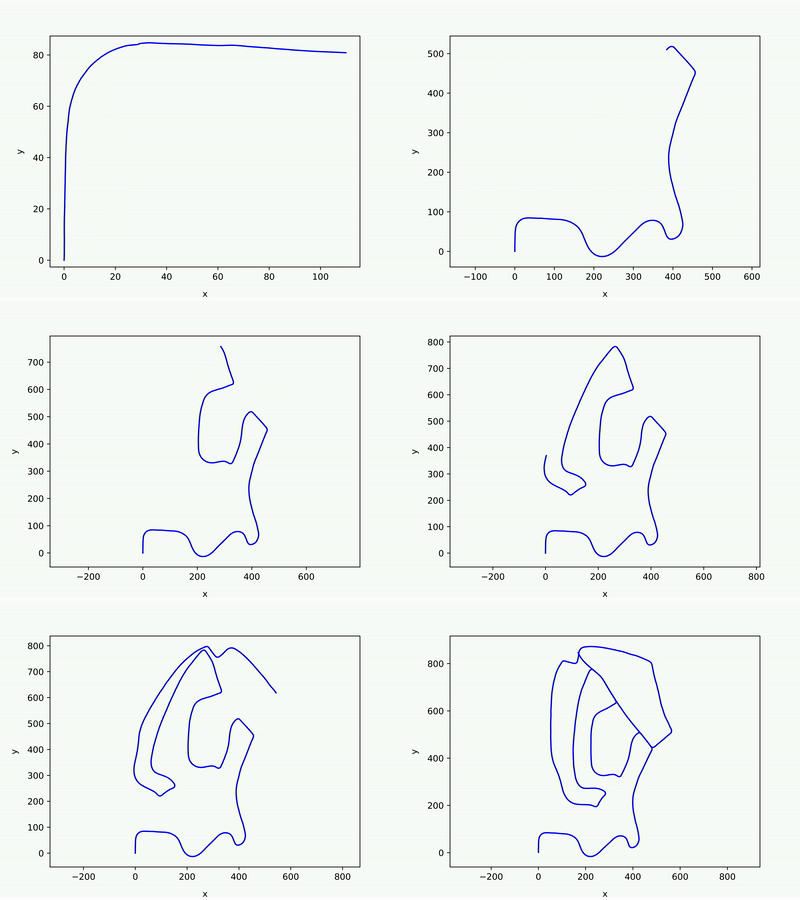
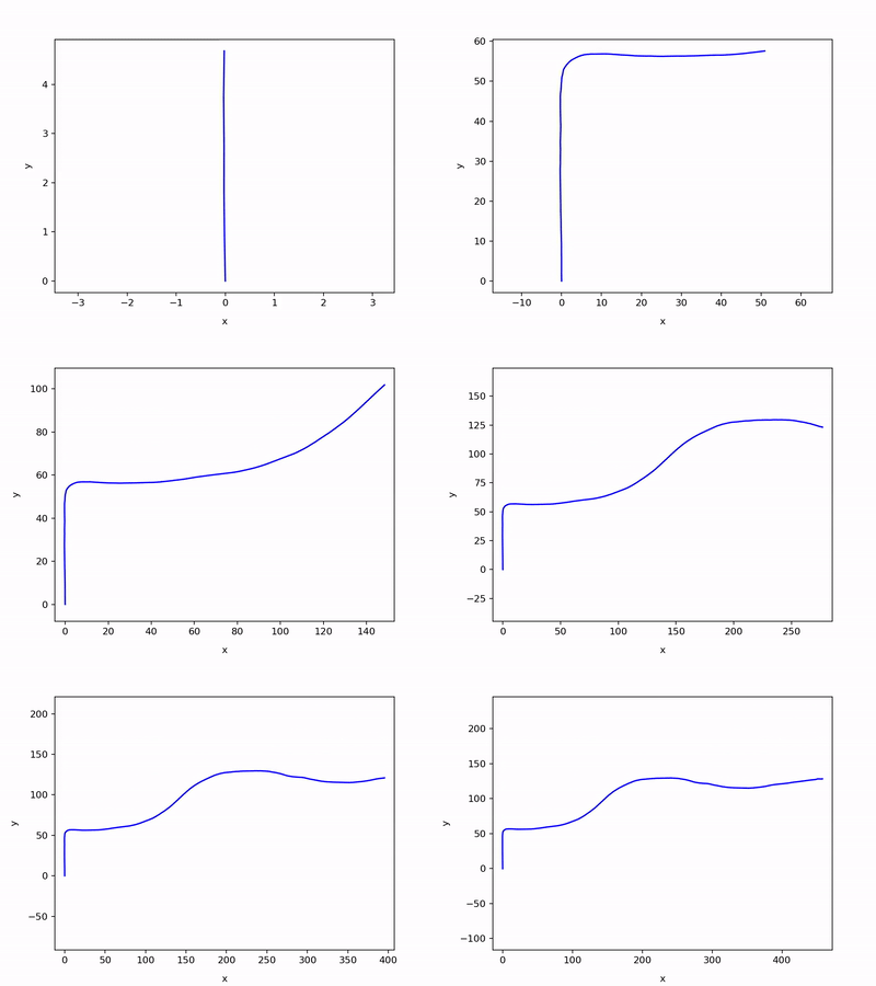
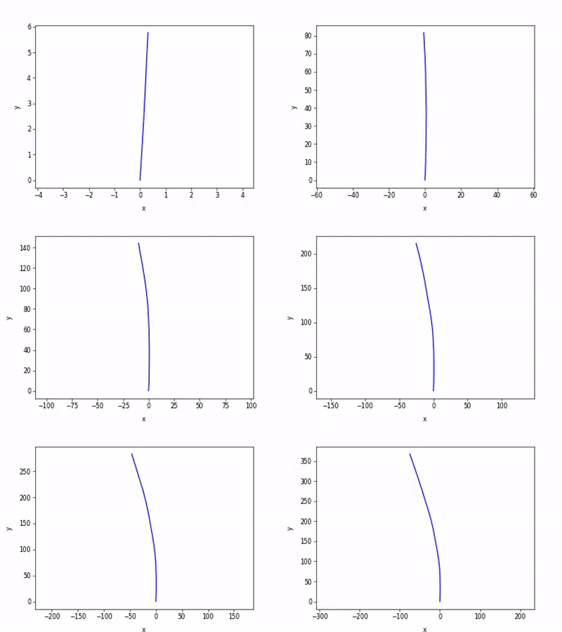
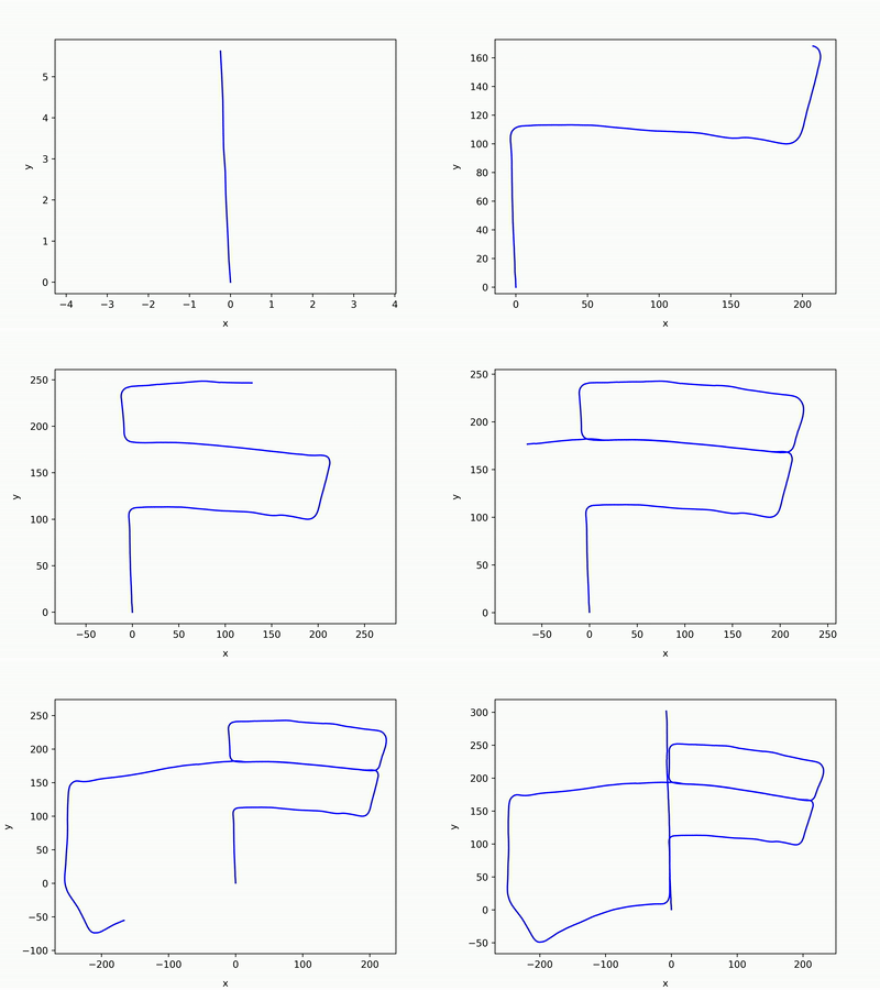
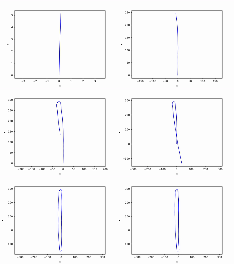
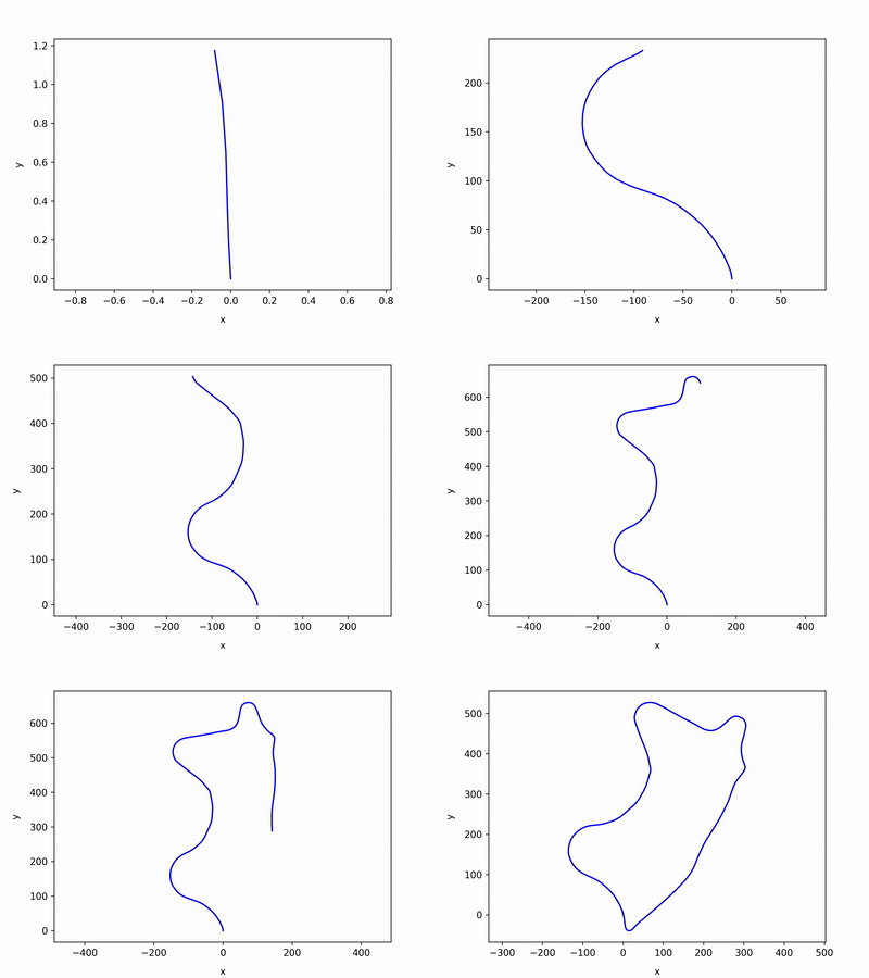
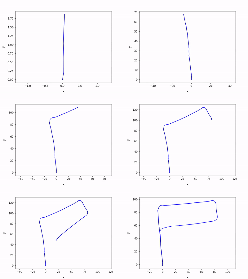
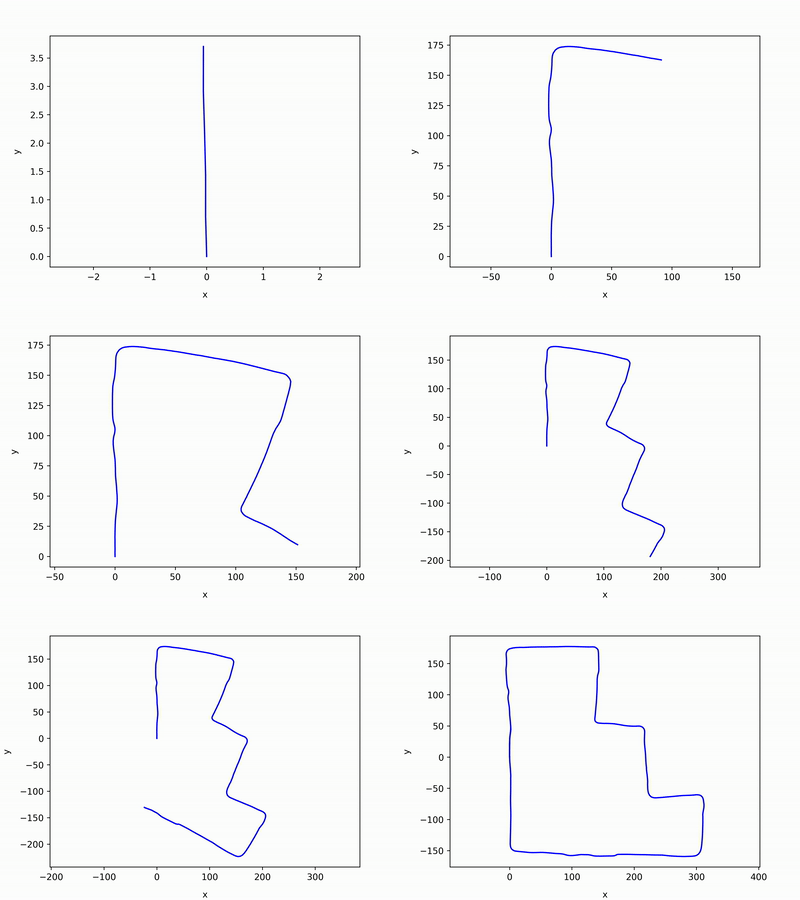
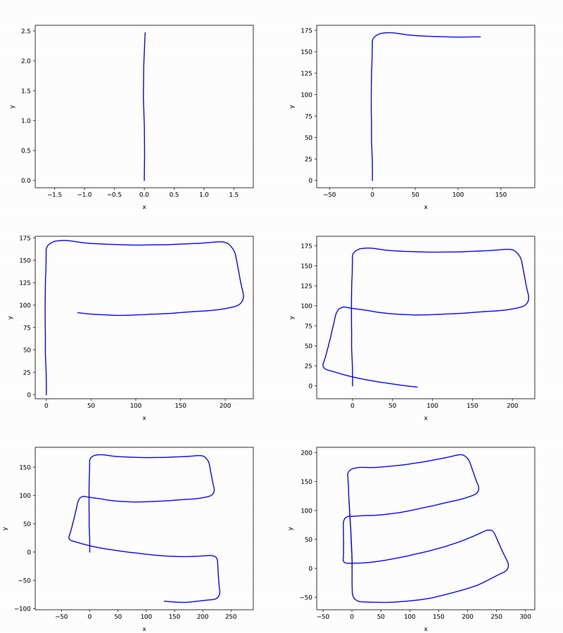
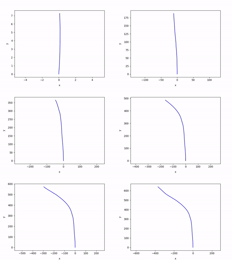
Results (left to right):
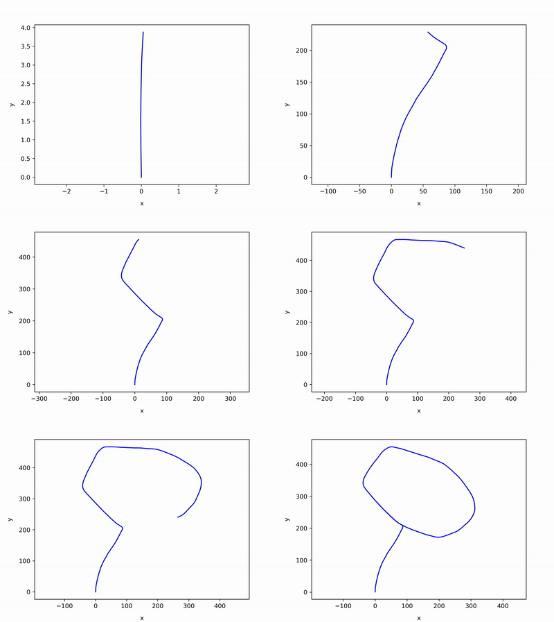
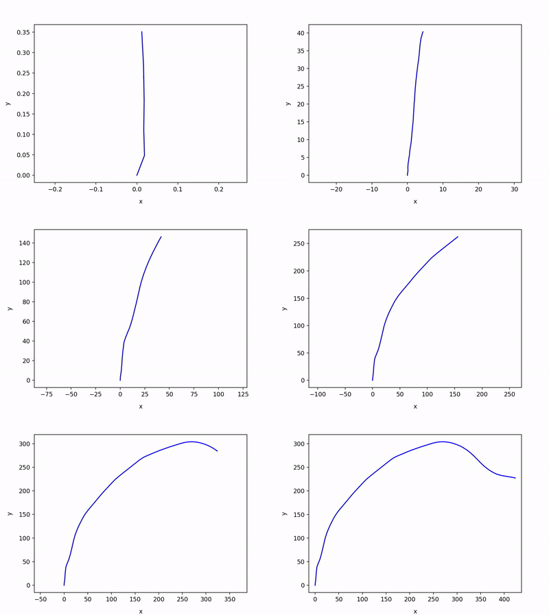
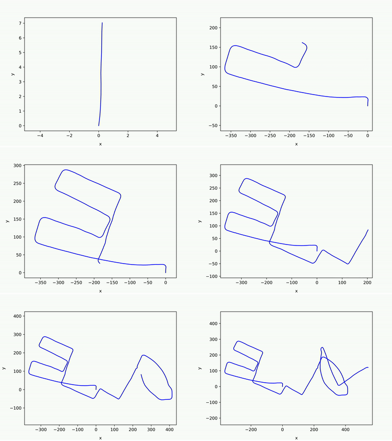
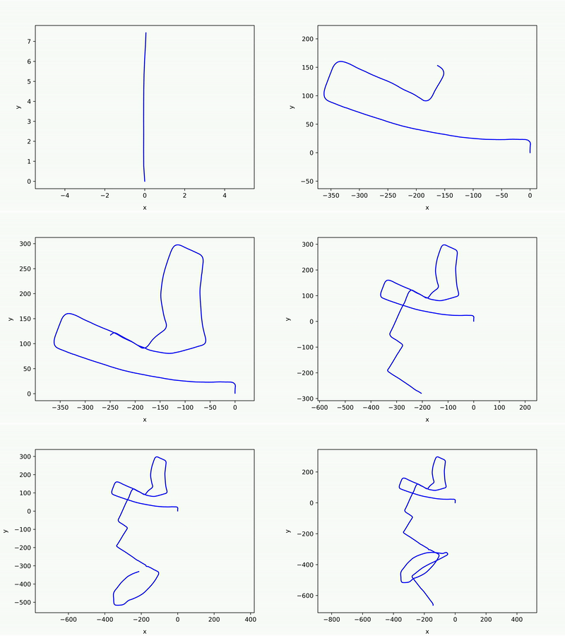
- 00 (loop), 01, 02 (loop), 03
- 04, 05 (loop), 06 (loop), 09 (loop)
- 10, 11, 12, 13 (loop)
- 14 (loop), 15 (loop), 16 (loop), 17
- 18 (loop), 20
Some of the results are good, and some of them are not enough. Those results are for the study to understand when is the algorithm works or not.
-
The Scan Context does not find loops well when there is a lane level change (i.e., KITTI 08, as below figures).
-
If the loop threshold is too low (0.07 in the below figure), no loops are detected and thus the odometry errors cannot be reduced.
-
If the loop threshold is high (0.20 in the below figure), false loops are detected and thus the graph optimization failed.
Giseop Kim (paulgkim@kaist.ac.kr) @JustWon
- Supports Pangolin-based point cloud visualization along the SLAM poses.
- Go to https://github.com/JustWon/PyICP-SLAM