Inspired by the excellent article: "Streetmaps", which uses ggplot2 and osmdata to create nice streetmaps of Freiburg.
The original article generated an image using R, and then retouched it in MS Powerpoint. Here I tried to use only R for the whole process.
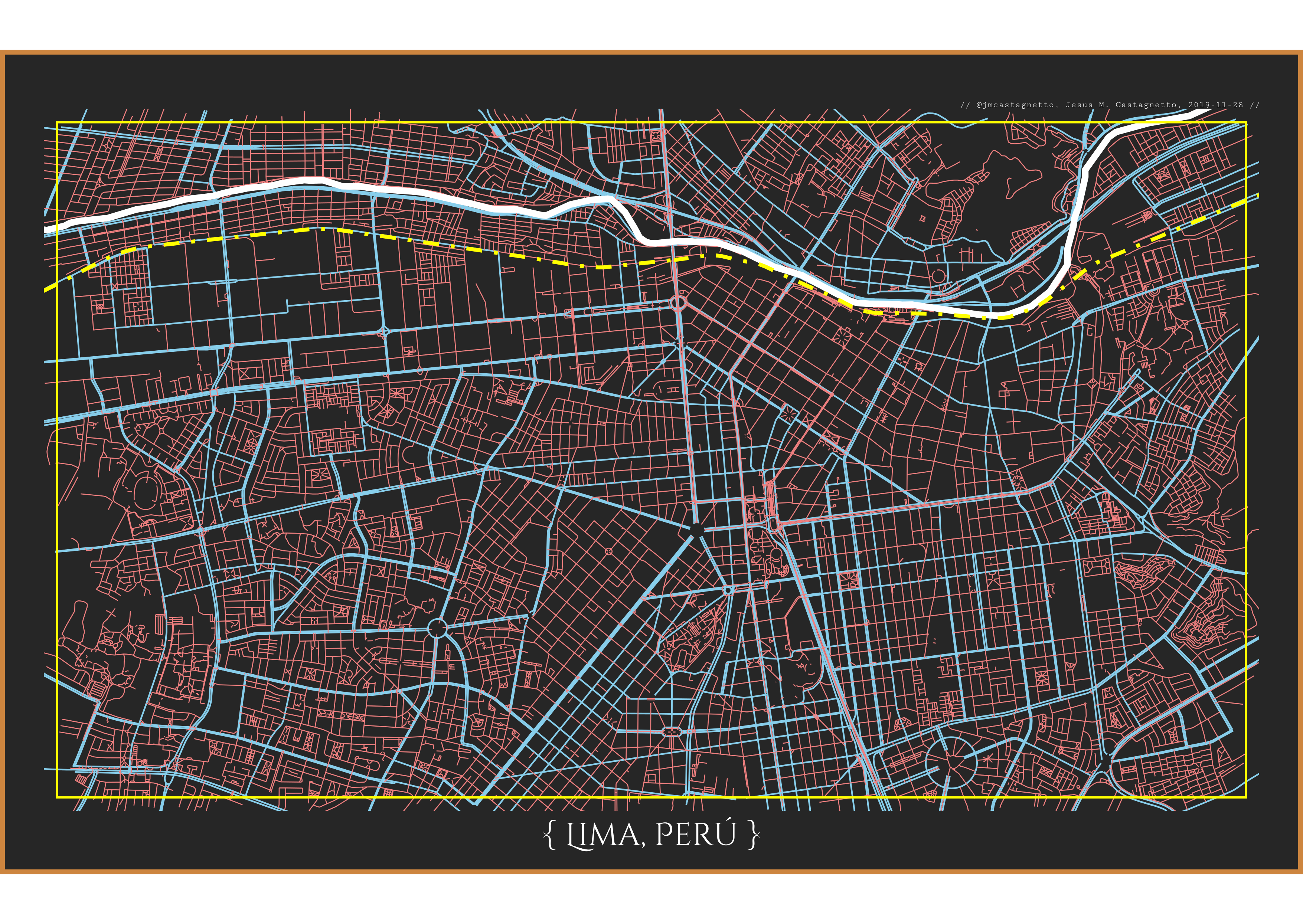
Here is the map as a PNG:
But I think the PDF version looks better.