Recipes for geodata pipelines for workflow frameworks such as Nextflow. These workflows are heavily dependent on CLI tools such as ogr/gdal, osmium, GMT and so on.
Utilizing Nextflow gives
- better reproducibility with CLI tools
- better code readability with declarative syntax
- easier Docker use
- partial run (resume after failure)
- concurrent execution
https://github.com/yonghah/geodata-pipeline/blob/main/nextflow/osm/download-filter-merge.nf
Download PBF from OpenStreetMap (download-osm); extract POI from the PBFs (osmium); create GeoJSON (ogr2ogr) and CSV (jq)
https://github.com/yonghah/geodata-pipeline/blob/main/nextflow/shaded_relief/shaded_relief.nf
Use downloaded SRTM from USGS; merge tiff (gdal_translate); rescale and reproject (gdalwarp); and generate hillshade (gdaldem)
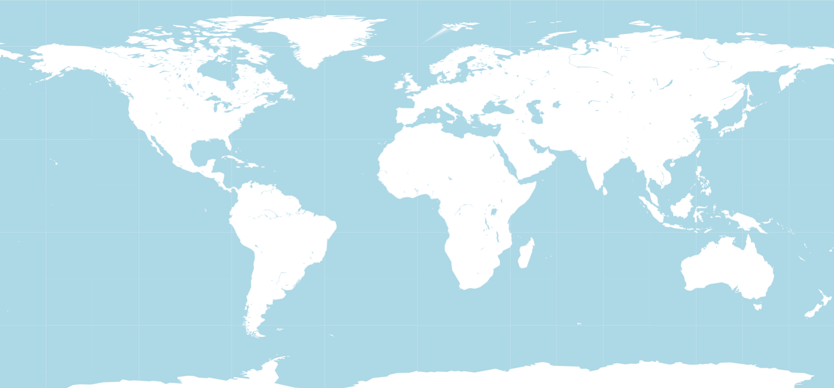
https://github.com/yonghah/geodata-pipeline/blob/main/nextflow/gmt/helloworld/helloworld.nf
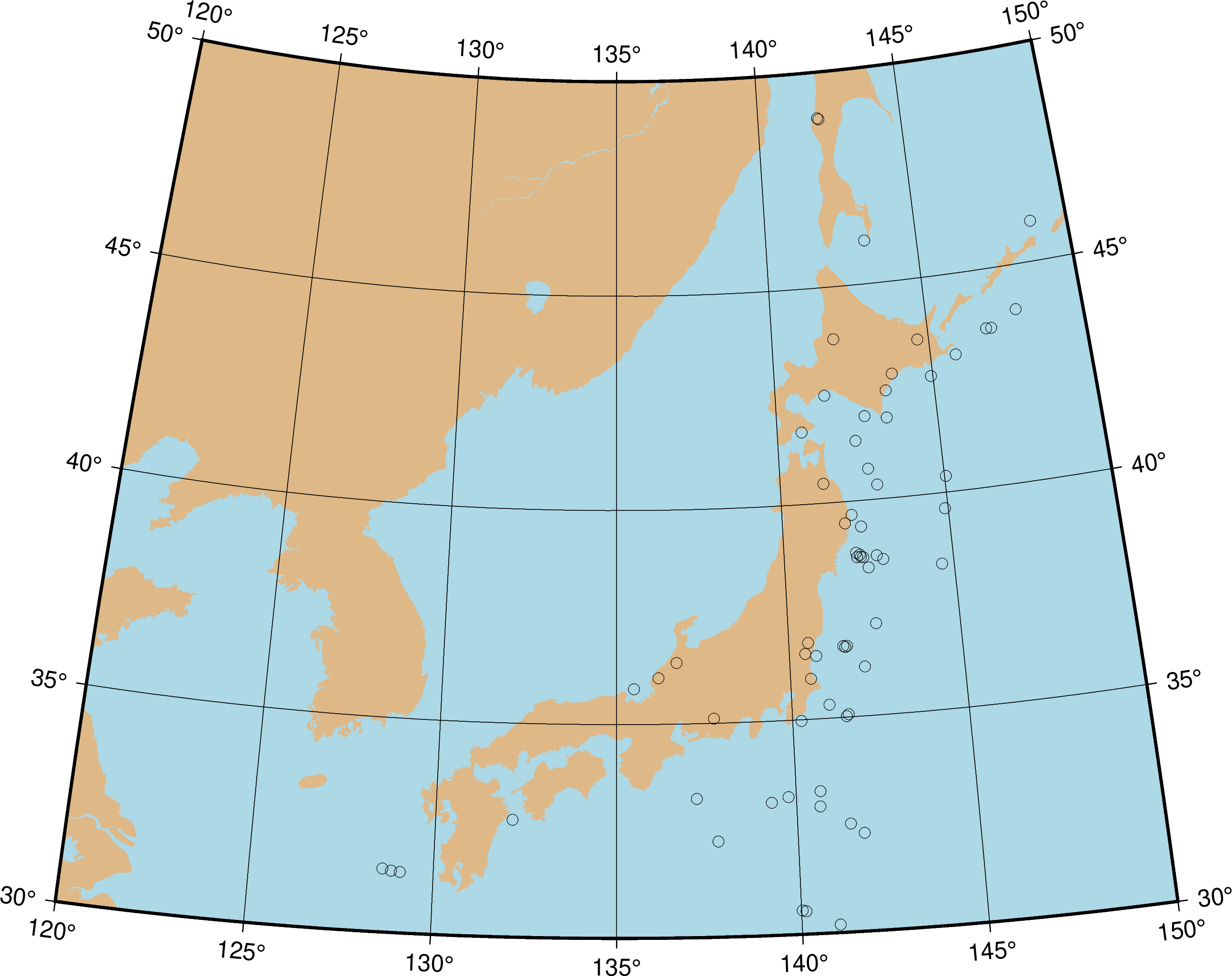
https://github.com/yonghah/geodata-pipeline/blob/main/nextflow/gmt/pointplot/pointplot.nf
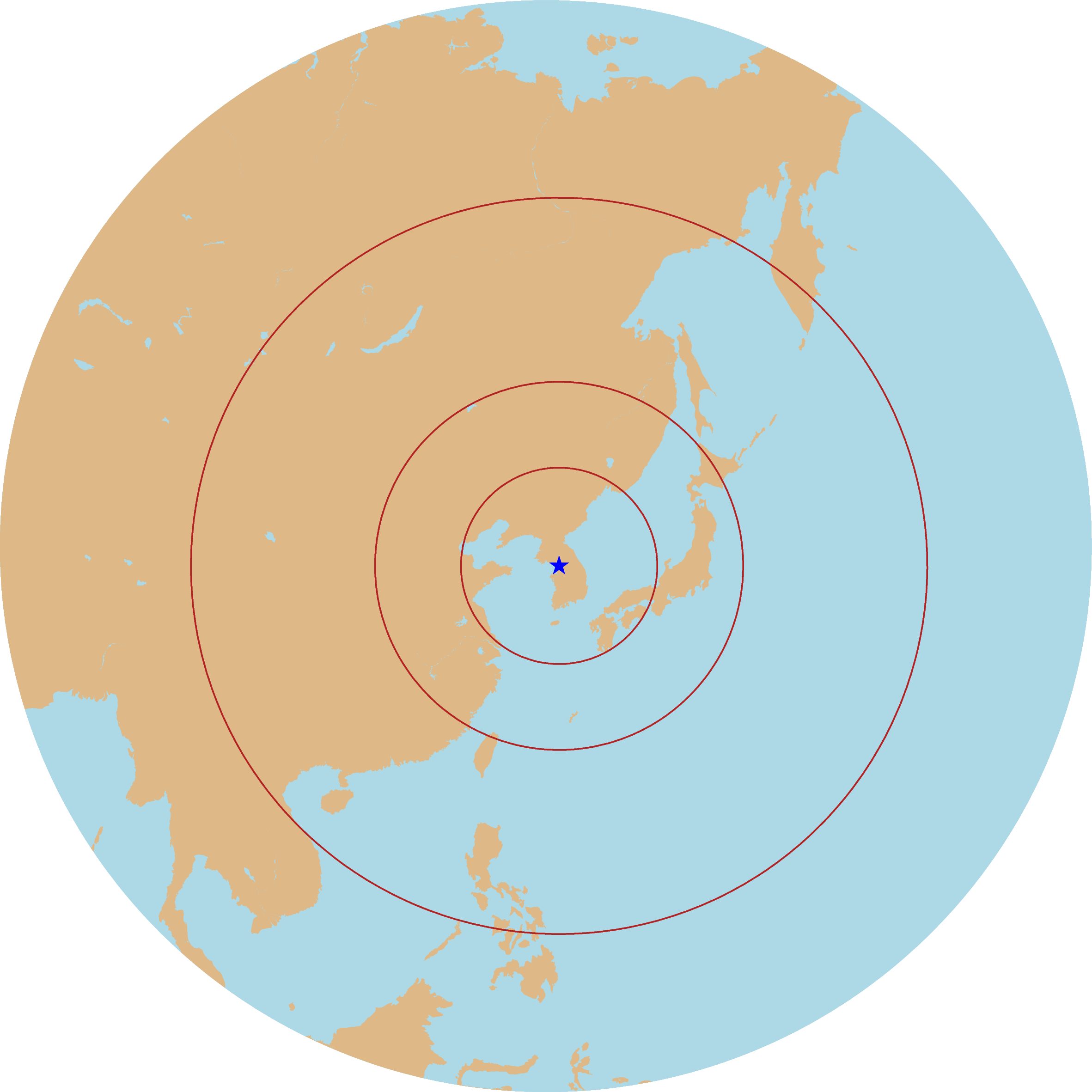
https://github.com/yonghah/geodata-pipeline/blob/main/nextflow/gmt/range/range.nf


