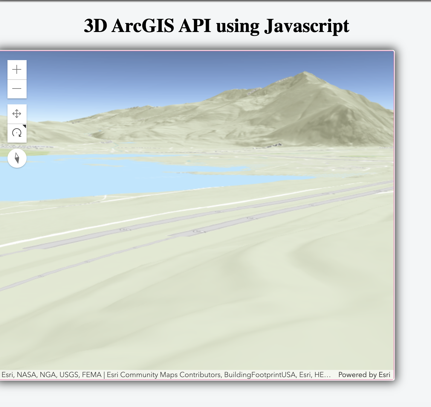
A small project of ArcGIS API 3D map to track wildfires in the United States.
As wildfires continue to impact California, Utah and Colorado, I want to create a tracker that searches and downloads the datasets and populates the corresponding latitude and longitude with the 3D aerial map view.
[WIP] Project requires more work with InciWeb API to properly overlay natural wildfires in the US.
- Javascript
- HTML
- CSS
- Git
