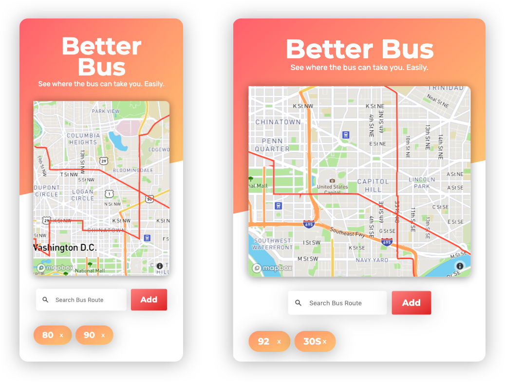
I live in Washington DC, where the Bus System is pretty robust. I have 5+ bus stops literally within eye distance of my house; yet I have found it difficult to find a resource which easily shows where each of those stops can take me all on one screen. The two options availible are:
- Aggregate time tables for all buses, which don't show the geospatial path of the bus route
- Map resources which allow you to show an individual bus route on a map one at a time
I wanted to make an app where I could type in the bus numbers that service a particular stop, and see where I could get to from that particular stop. I built this with a few technologies I was interested in taking a deeper look at.

This app builds a very simple application which allows you to type in the name of a bus route and see it on a map. The magic is that you can do this for multiple bus routes at a time, without having to clear the map.
- Search for multiple bus route, add it to the map
- View multiple routes on the same map
- Tap on the route to remove it from the map
Per usual, use npm install to get all the dependencies.
You can get your own (developer API key from WMATA)[https://developer.wmata.com/] and put that in a .env file stored in the root directory. In the project directory, you can run:
WMATA_API_KEY=[your API key here]
You will need to get a Mapbox Access Token for an application. I stored mine in a file called mapboxaccesstoken.js at the root of the directory, and then exported that string to be used in /components/Map.js.
Runs the app in the development mode.
Open (http://localhost:3000)[http://localhost:3000] to view it in the browser.
The page will reload if you make any edits.
Creates an optimized production build. I didn't use this capability as I needed to utilize API Routes of NextJS to hide my API keys, so I ended up using the Now CLI, developing with now dev and deploying with now prod. I then used their Zero-Config deployments dashboard to store my API Keys.