Pavements in Ordnance Survey MasterMap
New York Sidewalk Widths
Inspiration from Meli Harvey's NYC sidewalk widths project.
- map: http://sidewalkwidths.nyc
- open code: https://github.com/meliharvey/sidewalkwidths-nyc
- open dataset: https://data.cityofnewyork.us/City-Government/Sidewalk/vfx9-tbb6
- data capture rules: https://github.com/CityOfNewYork/nyc-planimetrics/blob/master/Capture_Rules.md#sidewalk
Sidewalk Widths NYC README notes
Sidewalk Widths NYC uses New York City's Sidewalk dataset to produce a map of sidewalk widths for the 5 boroughs.
This repo contains the notebooks to reproduce this work, as well as the finished Sidewalk Width dataset in GeoJSON format.
Link
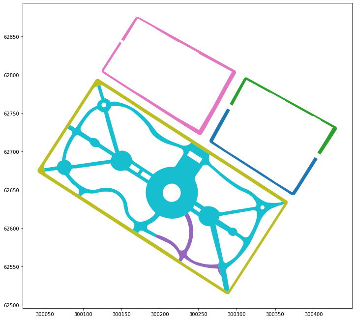
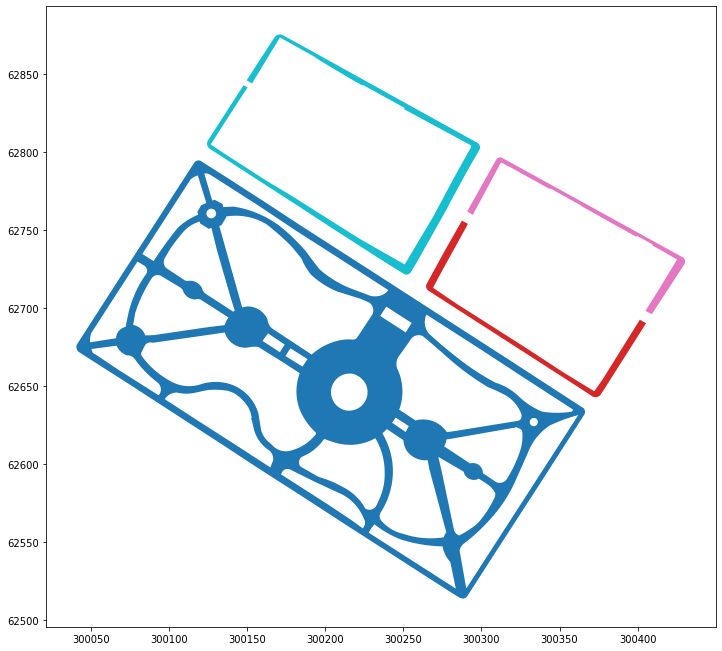
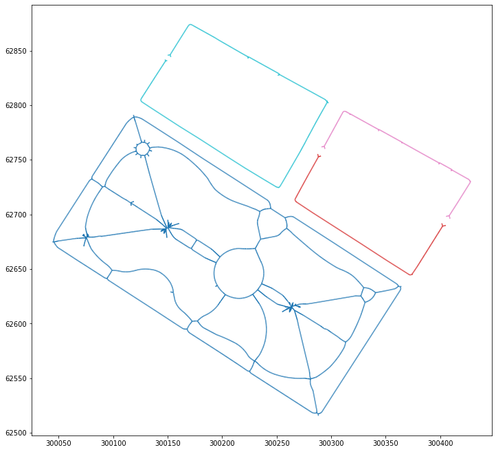
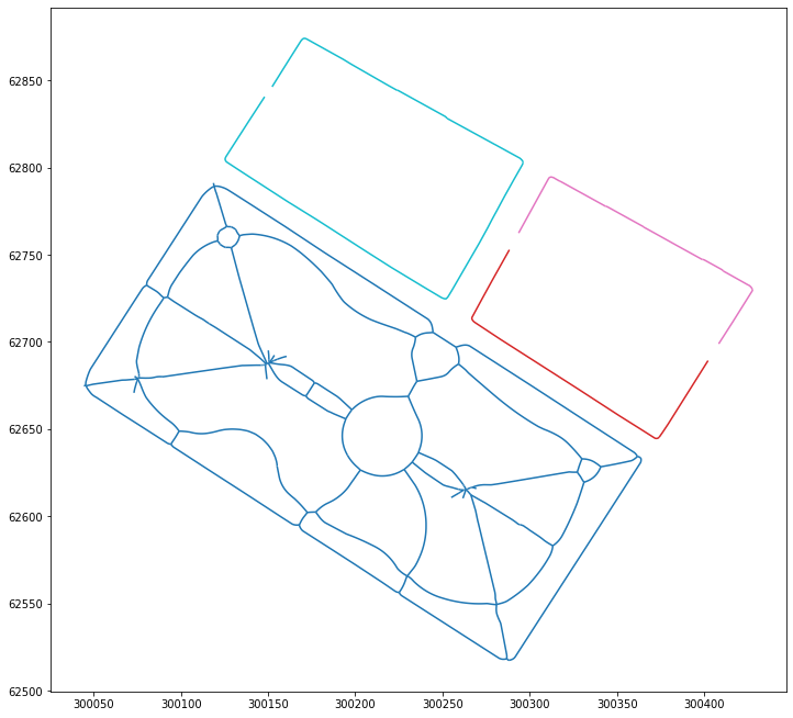
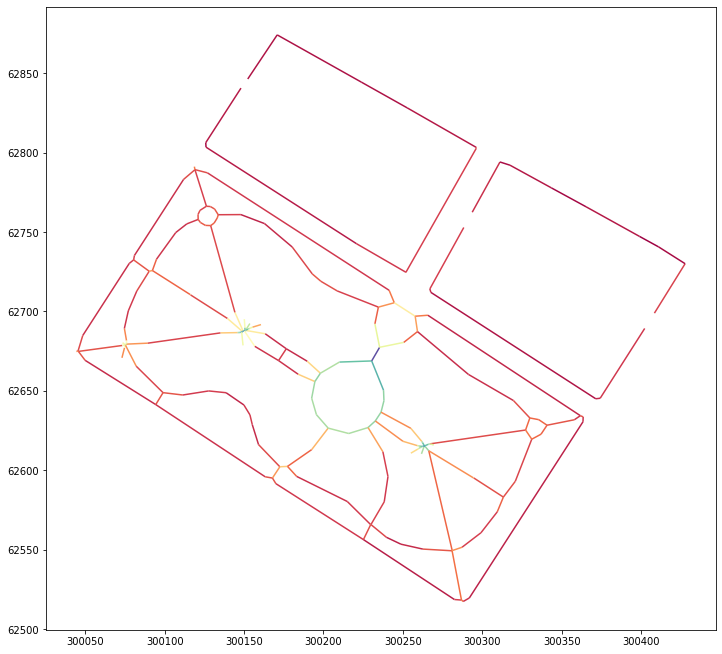
Methodology
-
Polygons from NYC open data
-
Dissolve adjacent sidewalk polygons
-
Find sidewalk centerlines
-
Remove short ends and simplify
-
Measure distance from centerlines to original polygon


Forking
If you want to make a version of Sidewalk Widths for your own city, just fork this repo and use whatever portion of the code you like. Not all cities will have publicly accessible planimetric sidewalk data, so you may need to produce the sidewalk dataset in a different way (i.e. curbs to parcel boundaries).
Mapbox
Sidewalk widths uses Mapbox for the custom map style and serve the sidewalk widths data as a tileset. If you're creating your own version of the site you must make a Mapbox account and replace the access token with your own. My access token is restricted to the www.sidewalkwidths.nyc URL.
You can copy the sidewalk widths custom Mapbox style here.
To create a tileset from your sidewalk width GeoJSON, following the Mapbox documentation here.