Airspace ENV to GeoJSON
Build GeoJSON files from airspace environment data (ex: for air traffic sectors)
Airspace Environment data can be found in EUROCONTROL DDR2 web portal (Dataset Files/Airspace Environment Datasets)
Airspace data are managed with pandas / GeoPandas dataframes
Under the hood, geometry and plotting use shapely and Matplotlib libraries.
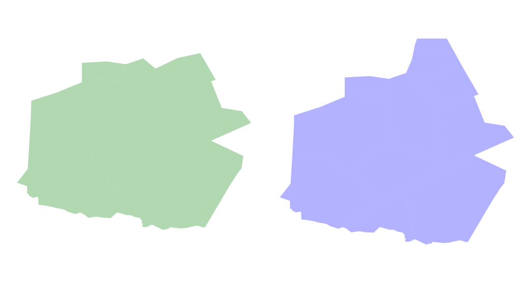
Example: plotting of the UBDX airspace at two levels (FL195 and FL345)
Running the tests
Run the demo notebook to see how to build a GeoJSON file from airspace environment data
Built With
-
pandas - Python Data Analysis Library
-
GeoPandas - GeoPandas is an open source project which extends the datatypes used by pandas to allow spatial operations on geometric types.
Authors
- Thomas Dubot
License
This project is licensed under the MIT License - see the LICENSE.md file for details
Acknowledgments
Thanks to https://github.com/xoolive/ for showing which files were relevant in the airspace environment data
