Using Attention and Autoencoder boosted CNN.
Docs »
View Demo
·
Report Bug
·
Request Feature
·
Send a Pull Request
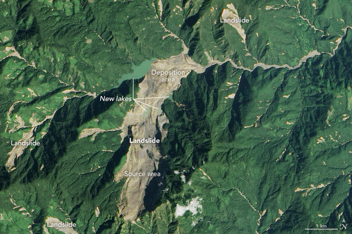
In this project, we carried out 3 experiments for the prediction of landslide in image. Experiments were:
- Pre-trained Model used as fixed extractor and fine tuned with classifier. Different experiment was carried out with different model like ResNet18, Resnet50.
- Autoencoder was used to extract the representaion vector space and trained with out 1D convolution layers. [.....Ongoing]
- Attention was used along with autoencoder and classic CNN. [.......Ongoing]
At last we intend to develop a web application to deploy our trained models.
Bijie satellite imagery dataset is used for this project.
See the open issues for a list of proposed features (and known issues).
This repo is under active development. If you have any improvements / suggestions please file an issue or send in a Pull Request.
Project Link: Github
Akshey Sigdel
Anuskha Gupta
Rabin Pandey
Shulav Karki
