Searoute py
An python package for generating the shortest sea route between two points on Earth.
If points are on land, the function will attempt to find the nearest point on the sea and calculate the route from there.
Not for routing purposes! This library was developed to generate realistic-looking searoutes for visualizations of maritime routes, not for mariners to route their ships.
Installation
pip install searouteUsage
import searoute as sr
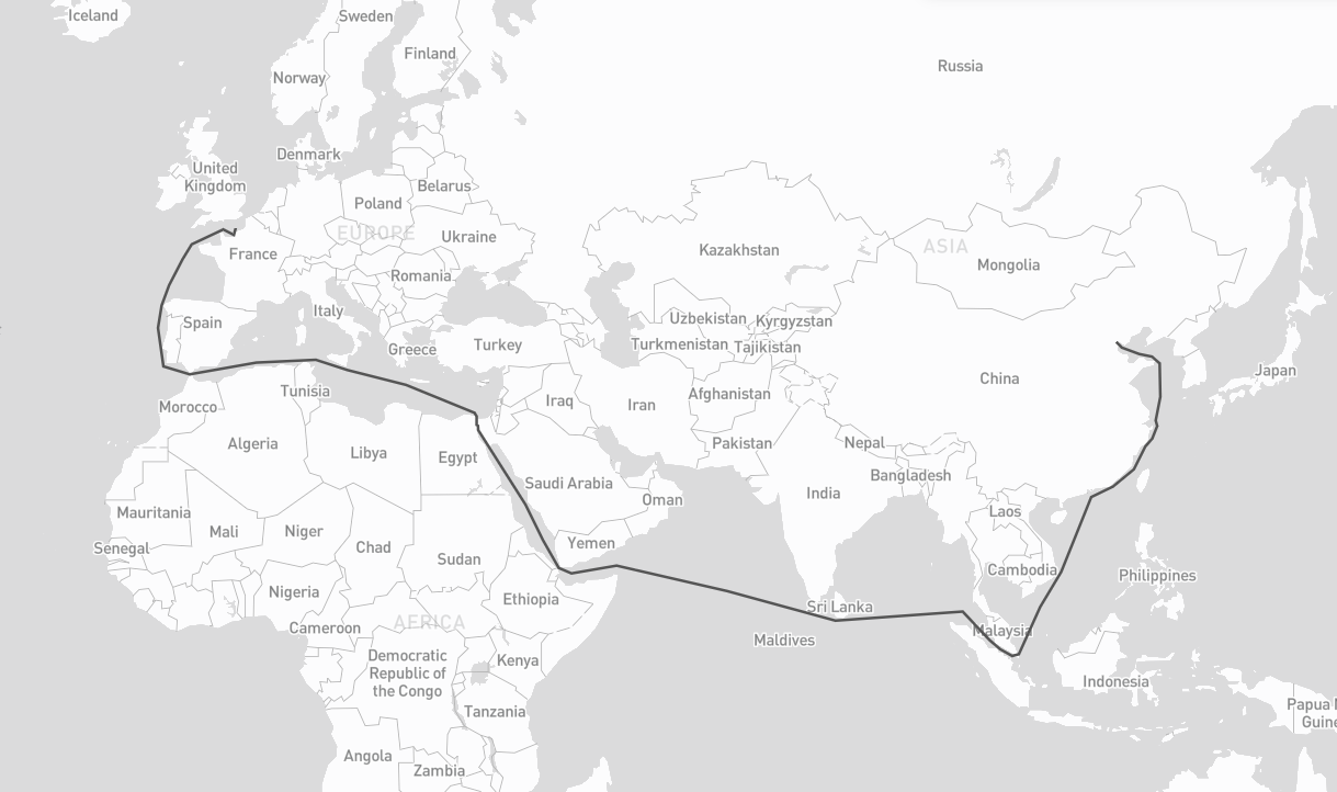
#Define origin and destination points:
origin = [0.3515625, 50.064191736659104]
destination = [117.42187500000001, 39.36827914916014]
route = sr.searoute(origin, destination)
# > Returns a GeoJSON LineString Feature
# show route distance with unit
print("{:.1f} {}".format(route.properties['length'], route.properties['units']))
# Optionally, define the units for the length calculation included in the properties object.
# Defaults to km, can be can be 'm' = meters 'mi = miles 'ft' = feets 'in' = inches 'deg' = degrees
# 'cen' = centimeters 'rad' = radians 'naut' = nauticals 'yd' = yards
routeMiles = sr.searoute(origin, destination, units="mi")
Parameters
origin
Mandatory. An array of 2 floats representing longitude and latitude i.e : [{lon}, {lat}]
destination
Mandatory. An array of 2 floats representing longitude and latitude i.e : [{lon}, {lat}]
units
Optional. Default to km = kilometers, can be m = meters mi = miles ft = feets in = inches deg = degrees cen = centimeters rad = radians naut = nauticals yd = yards
speed_knot
Optional. Speed of the boat, default 24 knots
append_orig_dest
Optional. If the origin and destination should be appended to the LineString, default is False
restrictions
Optional. List of passages to be restricted during calculations.
Possible values : babalmandab, bosporus, gibraltar, suez, panama, ormuz, northwest;
default is ['northwest']
Credits
Based on Eurostat's Searoute Java library and Dijkstra's algorithm implemented by perliedman.