The GRAPHIC SERIES is a new set of maps created for data visualization. This map series is a continuation of my exploration of the visual language of cartography through the medium of drawing, with a focus on three visual elements: the dot, the line and the pixel.
To learn more about the visual language of cartography, I suggest the following readings:
Explore the world of form with Morphology
TRON 2.0 - Creating a Visual Language of Scale
Unboxing Bubble Wrap
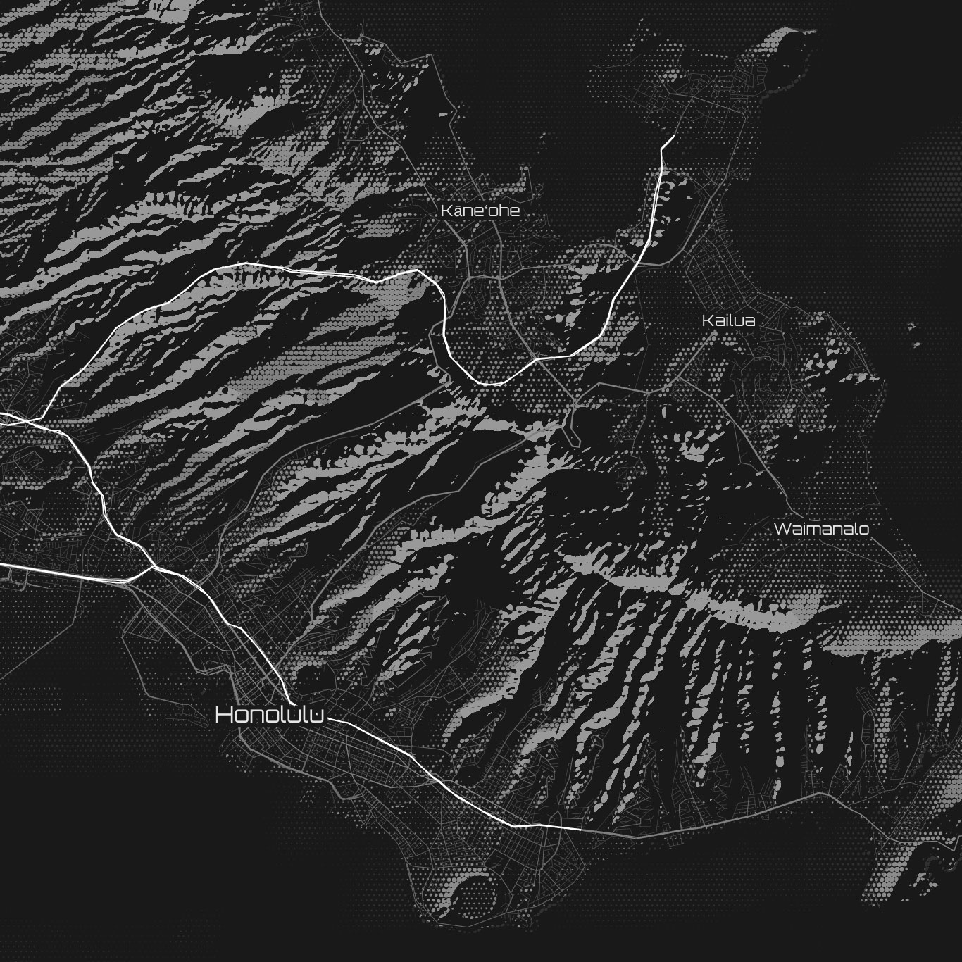
These maps are built with Tangram. Tangram is an open-source map renderer, originally developed at Mapzen and now a project under the Linux Foundation.
View the map: Tokyo, Manila, Hong Kong, Honolulu.
Download this repo, then start a web server in its directory:
python -m SimpleHTTPServer 8000
If that doesn't work, try:
python -m http.server 8000
Then navigate to: http://localhost:8000