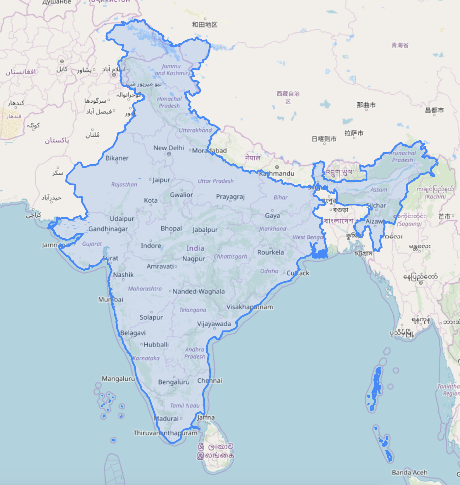
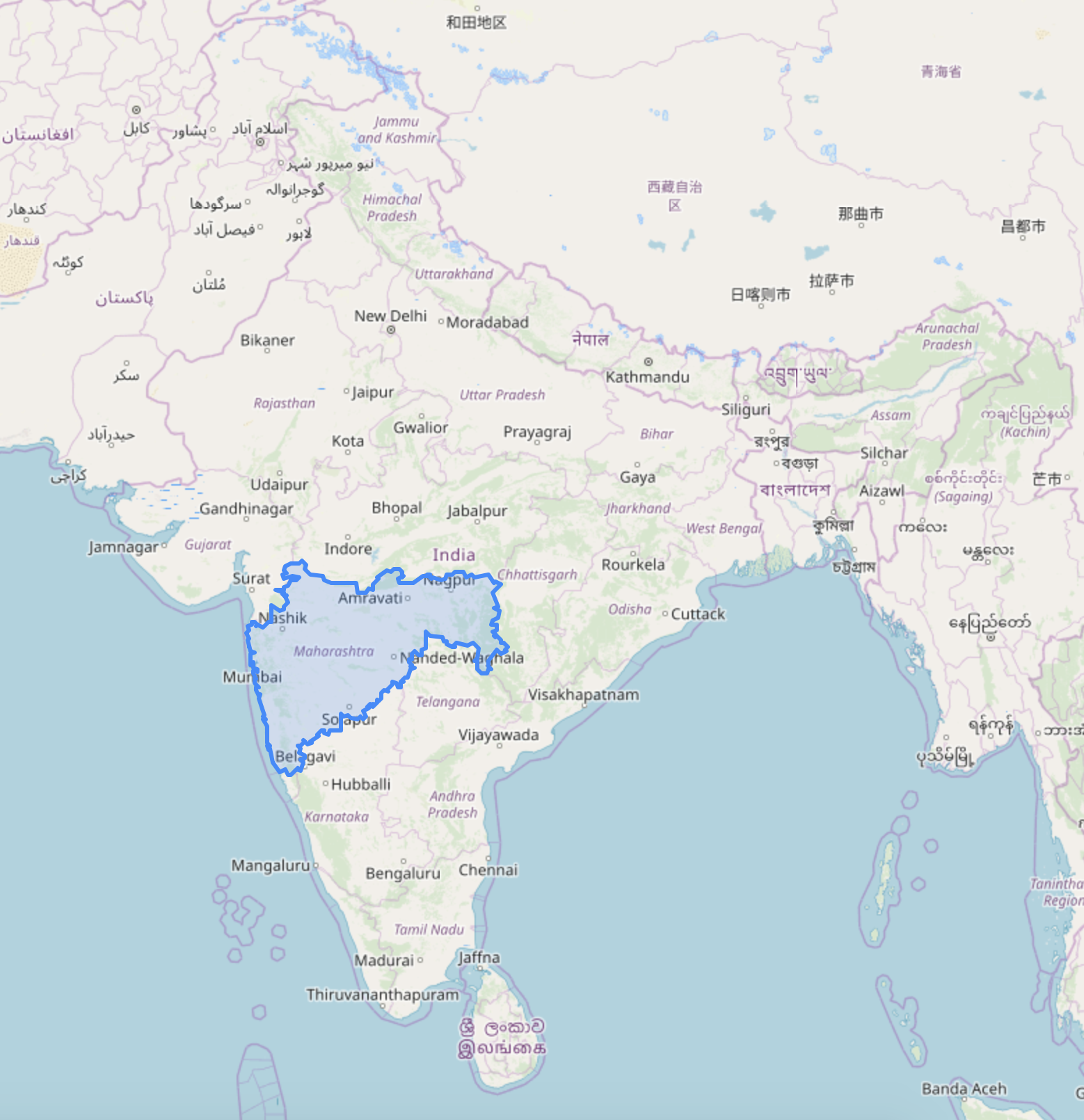
A Project to Visualize Indian Map.
Installing Fiona from below
- https://www.lfd.uci.edu/~gohlke/pythonlibs/
- https://gis.stackexchange.com/questions/121157/how-to-fix-python-importerror-dll-load-failed-the-specified-module-could-not-b
- GADM https://gadm.org/download_country_v3.html
- GeoNames http://download.geonames.org/export/dump/
- Survey of India - https://indiamaps.gov.in/soiapp/


