Lesson 01:
Introduction to the Course, Course Tools, Python Setup, Jupyter Notebook, Data Types, Functions
|
|
Lesson 02:
Python Intro Continued; Libraries, Looping, Spatial Data Models, GitHub
|
|
Lesson 03:
If-Elif-Else Conditionals, Spatial Data Models, Introduction to Pandas, GeoPandas
|
|
Lesson 04:
Exploratory Data Analysis & Visualization
|
|
Lesson 05:
Introduction to Debugging, Geoprocessing (Geospatial Analysis) with GeoPandas
|
|
Lesson 06:
Geoprocessing with GeoPandas (con't), Geospatial Data Models (Raster), Geocoding
|
|
Lesson 07:
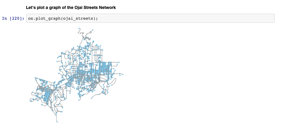
Introduction to Object-Oriented Programming with Classes and Objects, Geocoding and Street Networks with OSMnx
|
|
Lesson 08:
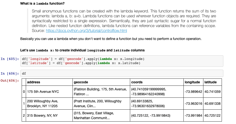
Geocoding (con't), Lambda Functions and Street Networks with OSMnx
|
|
Lesson 09:
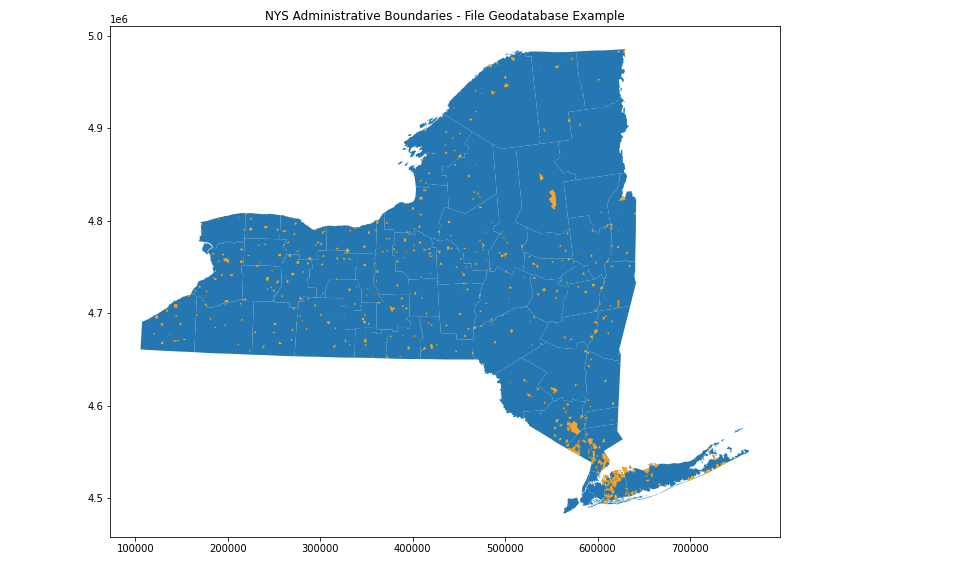
Additional Mapping Functionality with Matplotlib, Networks with OSMNX (cont'd), GeoPandas Read FGDB, KML
|
|
Lesson 10:
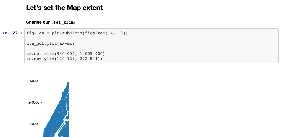
In-Class Team Coding Exercise, Additional Mapping Functionality with Matplotlib
|
|
Lesson 11:
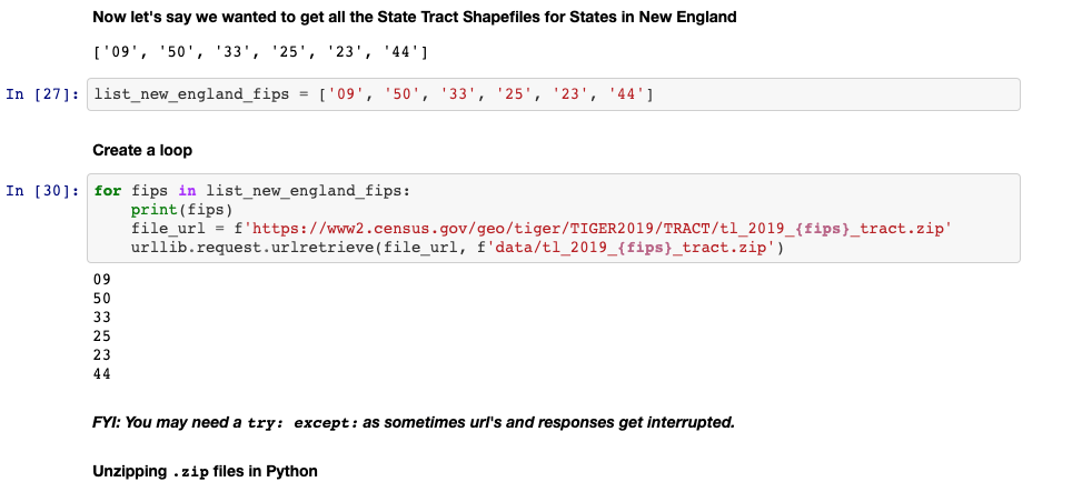
Managing data retrieval workflows with Requests, Unzipping files, concatenating DataFrames; Wrap-up Additional Mapping Functionality with Matplotlib
|
|
Lesson 12:
APIs (Application Programming Interface), Wrap-up Additional Mapping Functionality with Matplotlib
|

|
|
Lesson 13:
|
|
Lesson 14:
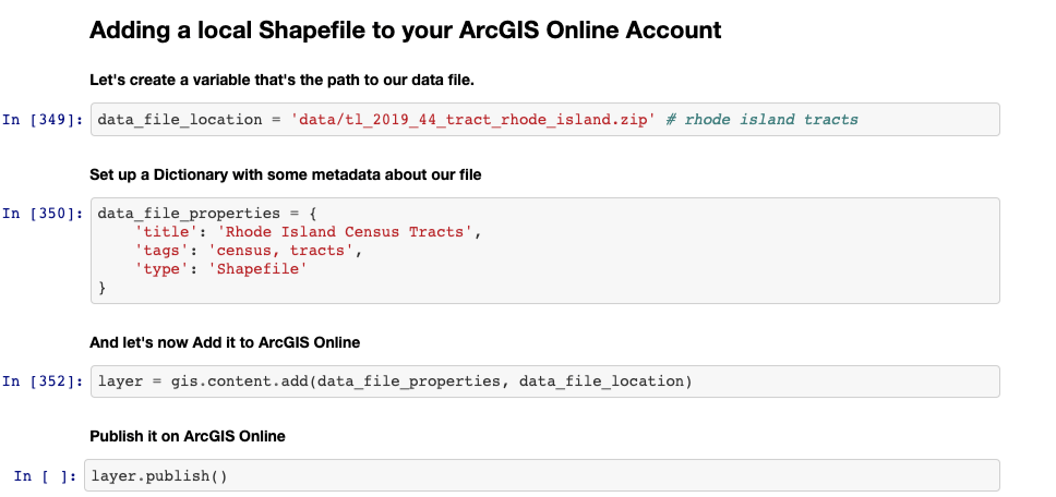
Folium, Plotly, Python for ArcGIS online
|
|
Lesson 15:
Project Presentations and Project Help
|
|