- Feel more comfortable to work with spatial data
- Load spatial data in R and visualise it
- Extract information from remote sensing or model dataset
- Take advantage of the numerous databases that are available online
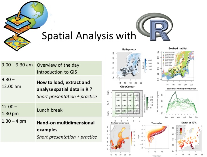
The data, guidelines and scripts can be downloaded in the SpatialR.zip archive. The workshop is divided in two section of approx. 2h each.
See 1_LoadExtractGIS for guidelines
- Load spatial data in R (vector and raster in different formats, including NetCDF).
- Access information from spatial data (projection system, extent, attribute table)
- Create maps
- Overlay spatial data and extract information from raster and vectors
See 2_MultiExamples for guidelines
- Understand the organisation of multidimensional data
- Explore the temperature-depth profile of the Baltic Sea
- Observe the seasonal pattern of primary production in the German Bight
- Strengthen your GIS and mapping skills
Enjoy !!
Romain Frelat
