Urban planning and spatial analysis
OSMnx: Python for street networks. Retrieve, model, analyze, and visualize street networks and other spatial data from OpenStreetMap.
Links
GeoPandas is an open source project to make working with geospatial data in python easier.
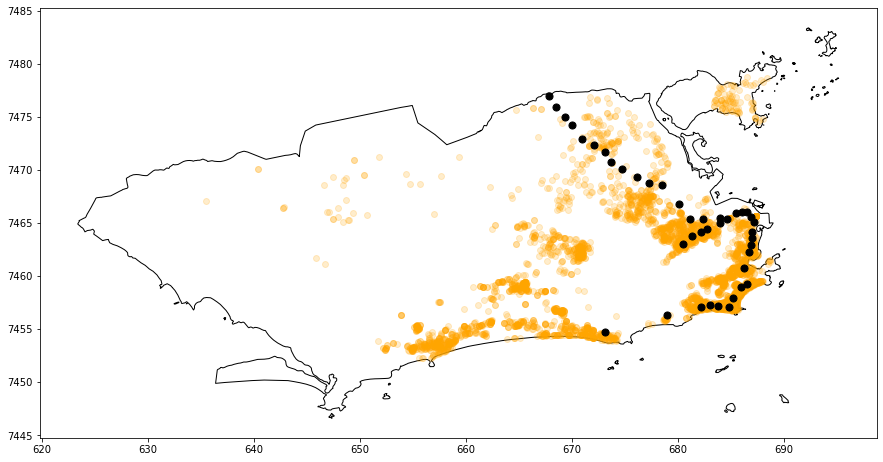
Rio de Janeiro city map containing properties for sale (in orange) and subway stations (in black). The greater the distance between a property and a subway station, the lower the value of that property.
[...]
Curso de Geoestatística com laboratórios no SPRING
Aplicação Python para Análise Exploratória, Modelagem de Semivariograma e Predições
[...]
https://github.com/varsha2509/hyperlocal-aq-prediction
https://www.youtube.com/c/QiushengWu/playlists
Qgis - A Free and Open Source Geographic Information System.
OpenStreetMap to production-ready map
Extraindo dados do OpenStreetMap usando QGIS e QuickOSM
Introdução à acessibilidade urbana
