marblecutter-virtual
This is a modernization and extension of marblecutter-virtual based off of olivierdalang's fork.
Changes:
- Runs on Python 3.10 instead of 2.7 (!)
- Changed to Poetry for consistent dependency management
- Dockerfile consistently builds and specifies an GDAL version
- Better
docker-compose.yml - Addition of
global_minandglobal_maxoverrides for consistent rendering - Addition of Varnish to speed up rerenders
Overview
This is a tile server for HTTP(S)-accessible Cloud Optimized GeoTIFFs (COGs).
Running Locally
The easiest way to get a working instance running locally is to use Docker Compose:
docker-compose upA tile server will then be accessible on localhost:8085. To browse a map
preview, visit
http://localhost:8085/preview?url=https%3A%2F%2Fs3-us-west-2.amazonaws.com%2Fplanet-disaster-data%2Fhurricane-harvey%2FSkySat_Freeport_s03_20170831T162740Z3.tif.
URLs (url in the query string) must be URL-encoded. From a browser's
JavaScript console (or Node.js REPL), run:
encodeURIComponent("https://s3-us-west-2.amazonaws.com/planet-disaster-data/hurricane-harvey/SkySat_Freeport_s03_20170831T162740Z3.tif")If you need to access non-public files on S3, set your environment accordingly
(see sample.env), either by creating .env and uncommenting env_file in
docker-compose.yml or by adding appropriate environment entries.
Endpoints
/bounds - Source image bounds (in geographic coordinates)
Parameters
url- a URL to a valid COG. Required.
Example
$ curl "http://localhost:8085/bounds?url=https%3A%2F%2Fs3-us-west-2.amazonaws.com%2Fplanet-disaster-data%2Fhurricane-harvey%2FSkySat_Freeport_s03_20170831T162740Z3.tif"
{
  "bounds": [
    -95.46993599071261,
    28.86905396361014,
    -95.2386152334213,
    29.068190805522605
  ],
  "url": "https://s3-us-west-2.amazonaws.com/planet-disaster-data/hurricane-harvey/SkySat_Freeport_s03_20170831T162740Z3.tif"
}
/tiles/{z}/{x}/{y} - Tiles
Parameters
url- a URL to a valid COG. Required.rgb- Source bands to map to RGB channels. Defaults to1,2,3.nodata- a custom NODATA value.global_min- a global minimum data value for all bands.global_max- a global maximum data value for all bands.linearStretch- whether to stretch output to match min/max values present in the source. Useful for raw sensor output, e.g. earth observation (EO) data.resample- Specify a custom resampling method (e.g. for discrete values). Valid values (fromrasterio.enums.Resampling):nearest,bilinear,cubic,cubic_spline,lanczos,average,mode,gauss,max,min,med,q1,q3. Defaults tobilinear.
@2x can be added to the filename (after the {y} coordinate) to request
retina tiles. The map preview will detect support for retina displays and
request tiles accordingly.
PNGs or JPEGs will be rendered depending on the presence of NODATA values in the source image (surfaced as transparency in the output).
Examples
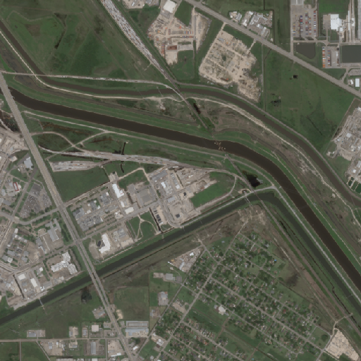
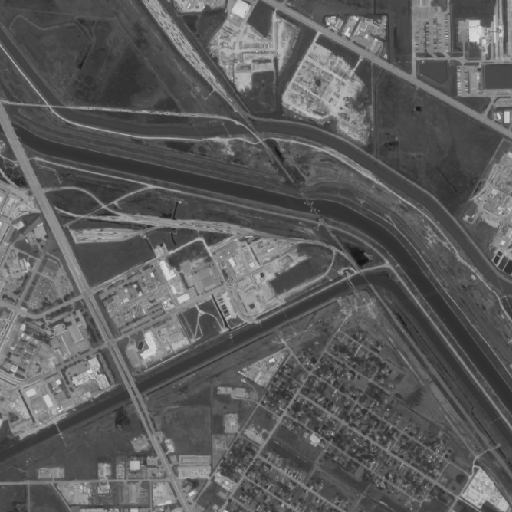
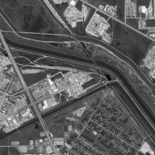
$ curl "http://localhost:8085/tiles/14/3851/6812@2x?url=https%3A%2F%2Fs3-us-west-2.amazonaws.com%2Fplanet-disaster-data%2Fhurricane-harvey%2FSkySat_Freeport_s03_20170831T162740Z3.tif" | imgcat$ curl "http://localhost:8085/tiles/14/3851/6812@2x?url=https%3A%2F%2Fs3-us-west-2.amazonaws.com%2Fplanet-disaster-data%2Fhurricane-harvey%2FSkySat_Freeport_s03_20170831T162740Z3.tif&rgb=1,1,1" | imgcat$ curl "http://localhost:8085/tiles/14/3851/6812@2x?url=https%3A%2F%2Fs3-us-west-2.amazonaws.com%2Fplanet-disaster-data%2Fhurricane-harvey%2FSkySat_Freeport_s03_20170831T162740Z3.tif&rgb=1,1,1&linearStretch=true" | imgcat/tiles - TileJSON
Parameters
See tile parameters.
Example
$ curl "http://localhost:8085/tiles?url=https%3A%2F%2Fs3-us-west-2.amazonaws.com%2Fplanet-disaster-data%2Fhurricane-harvey%2FSkySat_Freeport_s03_20170831T162740Z3.tif"
{
  "bounds": [
    -95.46993599071261,
    28.86905396361014,
    -95.2386152334213,
    29.068190805522605
  ],
  "center": [
    -95.35427561206696,
    28.968622384566373,
    15
  ],
  "maxzoom": 21,
  "minzoom": 8,
  "name": "Untitled",
  "tilejson": "2.1.0",
  "tiles": [
    "//localhost:8085/tiles/{z}/{x}/{y}?url=https%3A%2F%2Fs3-us-west-2.amazonaws.com%2Fplanet-disaster-data%2Fhurricane-harvey%2FSkySat_Freeport_s03_20170831T162740Z3.tif"
  ]
}
/preview - Preview
Parameters
See tile parameters.
Example
http://localhost:8085/preview?url=https%3A%2F%2Fs3-us-west-2.amazonaws.com%2Fplanet-disaster-data%2Fhurricane-harvey%2FSkySat_Freeport_s03_20170831T162740Z3.tif
/debug - Debug
Returns validation information from cog validator (see https://github.com/rouault/cog_validator).
Parameters
url- a URL to a COG. Required.
Example
http://localhost:8085/debug?url=https%3A%2F%2Fs3-us-west-2.amazonaws.com%2Fplanet-disaster-data%2Fhurricane-harvey%2FSkySat_Freeport_s03_20170831T162740Z3.tif


