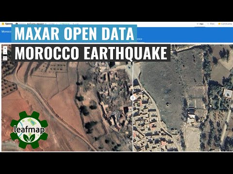
The Maxar Open Data Program provides pre- and post-event high-resolution satellite imagery in support of emergency planning, risk assessment, monitoring of staging areas and emergency response, damage assessment, and recovery. Check out the links below for more information.
- Maxar Open Data Program
- Maxar Open Data on AWS
- Maxar Open Data on STAC Index
- Maxar Open Data on STAC Browser
- Maxar Open Data on Hugging Face
The Maxar Open Data STAC catalog URL is: https://maxar-opendata.s3.amazonaws.com/events/catalog.json. The repo contains the catalog in various formats, including GeoJSON, CSV, and MosaicJSON. This makes it easier to use the datasets with Python and other programming languages.
import leafmap
m = leafmap.Map(center=[36.844461, 37.386475], zoom=8)
url = 'https://github.com/opengeos/maxar-open-data/raw/master/datasets/Kahramanmaras-turkey-earthquake-23.geojson'
m.add_geojson(url, layer_name="Footprints")
m
m = leafmap.Map()
url = 'https://open.gishub.org/maxar-open-data/datasets/Kahramanmaras-turkey-earthquake-23/1050050044DE7E00.json'
m.add_stac_layer(url, name="Mosaic")
m
- A list of open datasets on AWS: aws-open-data
- A list of open geospatial datasets on AWS: aws-open-data-geo
- A list of open geospatial datasets on AWS with a STAC endpoint: aws-open-data-stac
- A list of STAC endpoints from stacindex.org: stac-index-catalogs
- A list of geospatial datasets on Microsoft Planetary Computer: Planetary-Computer-Catalog
- A list of geospatial datasets on Google Earth Engine: Earth-Engine-Catalog
- A list of geospatial datasets on NASA's Common Metadata Repository (CMR): NASA-CMR-STAC
- A list of geospatial data catalogs: geospatial-data-catalogs
- The Maxar Open Data STAC Catalog: maxar-open-data
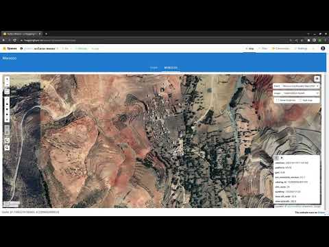
- A Solara web app for visualizing Maxar Open Data: solara-maxar