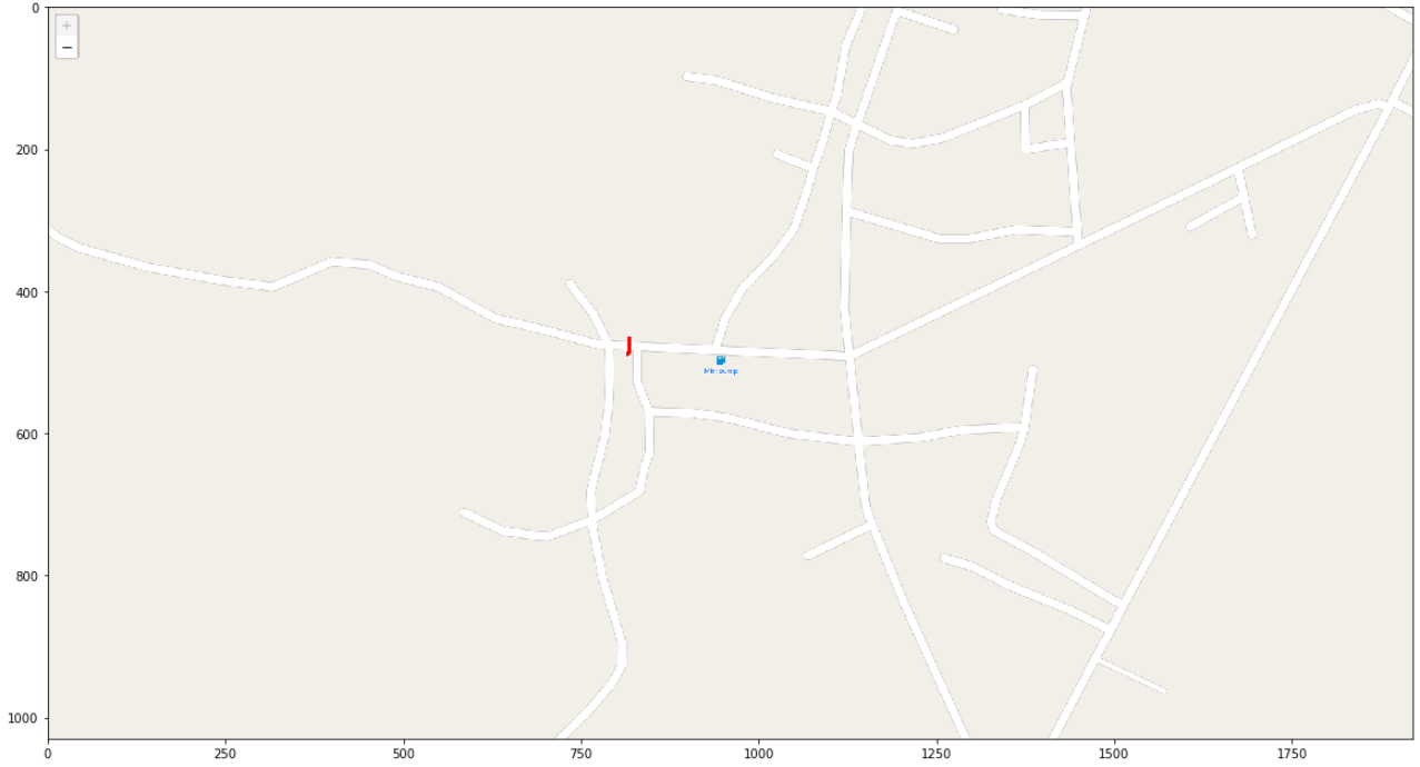
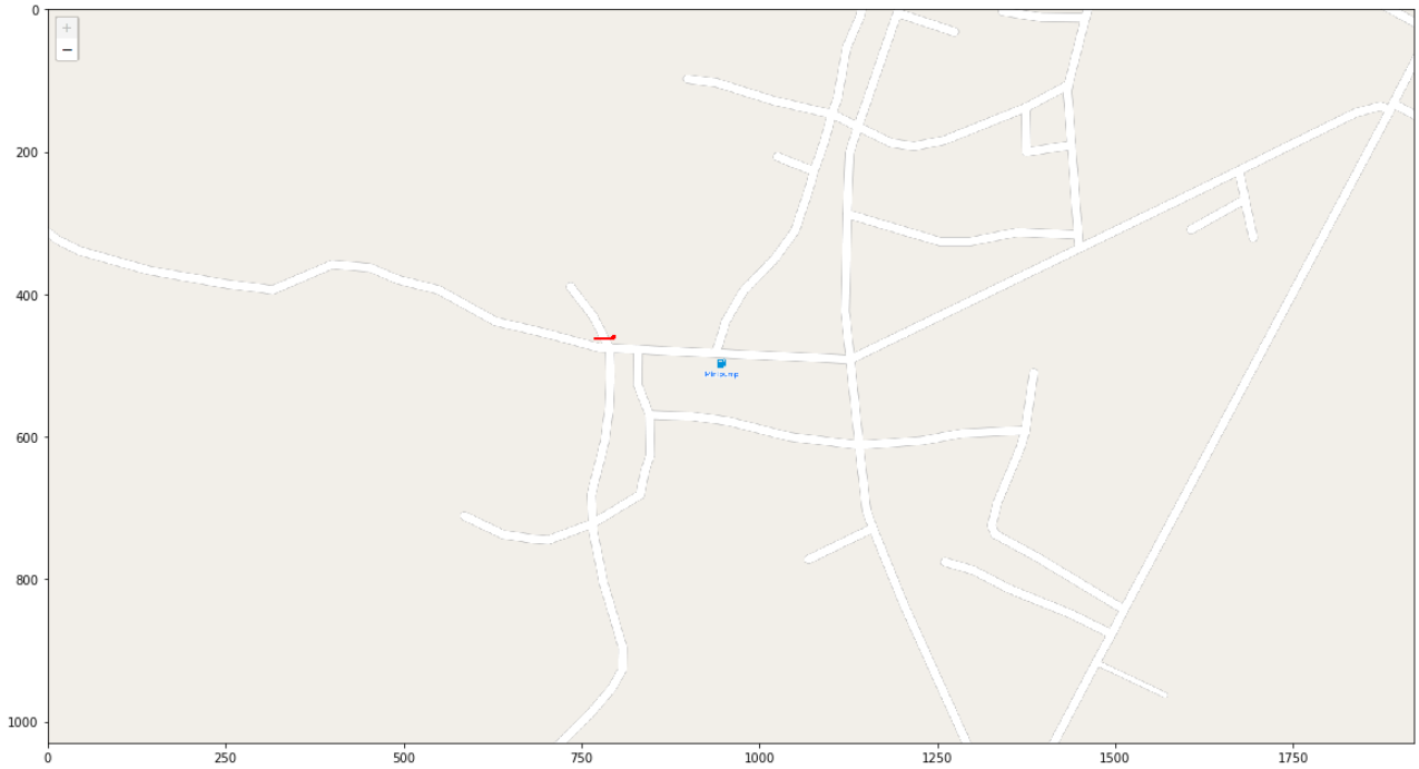
This is just a mini-project. I created it for finding a shortest sidewalk path from some point to another point (lat, long coordinate) and it can help you to count the number of cross-road that you need if you follow this path.
- Python environment
$ pip install -r requirements.txt- Selenium docker
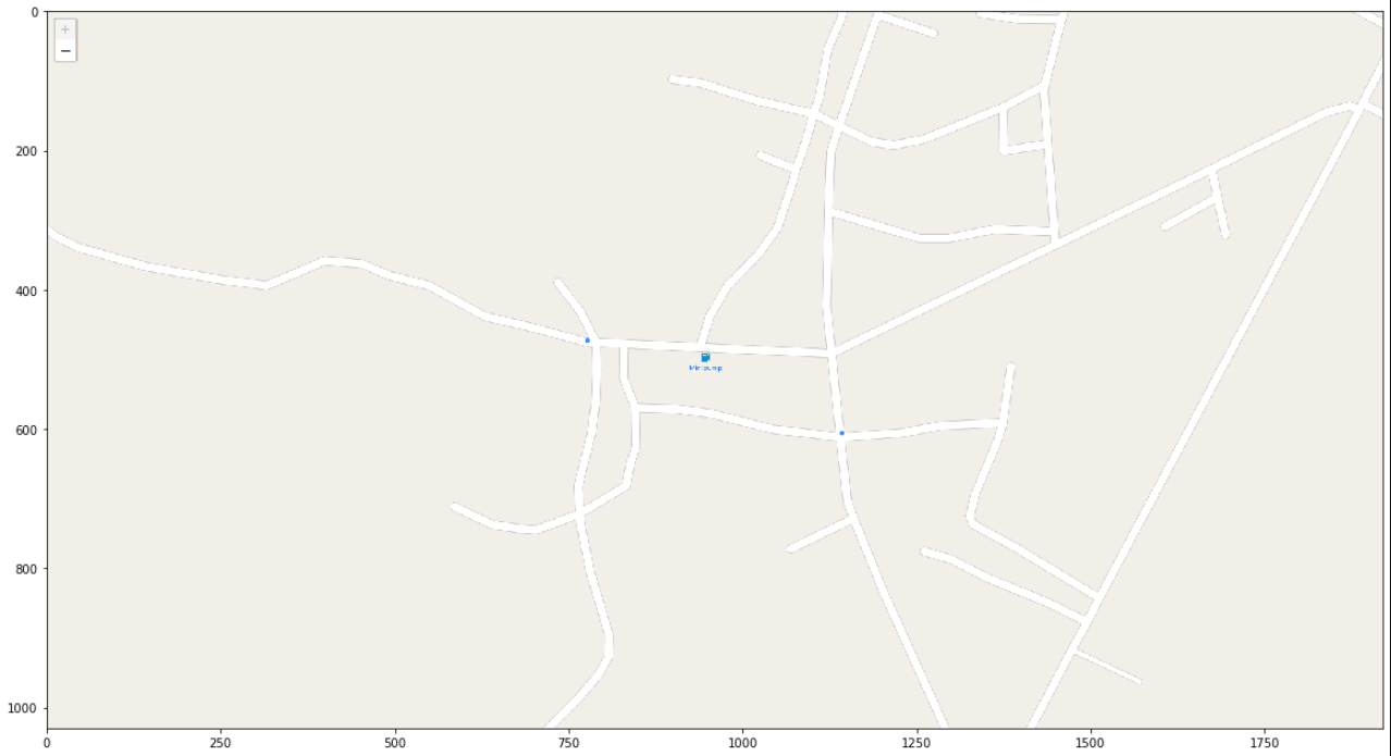
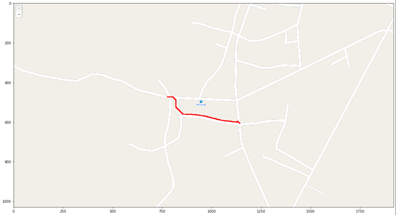
$ docker-compose up$ python -m route_sidewalk.scripts.route --lat1 18.31628 --lng1 99.39592 --lat2 18.3154363 --lng2 99.3968025- target
- path
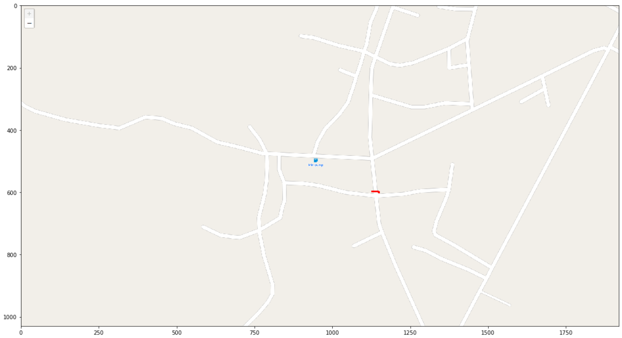
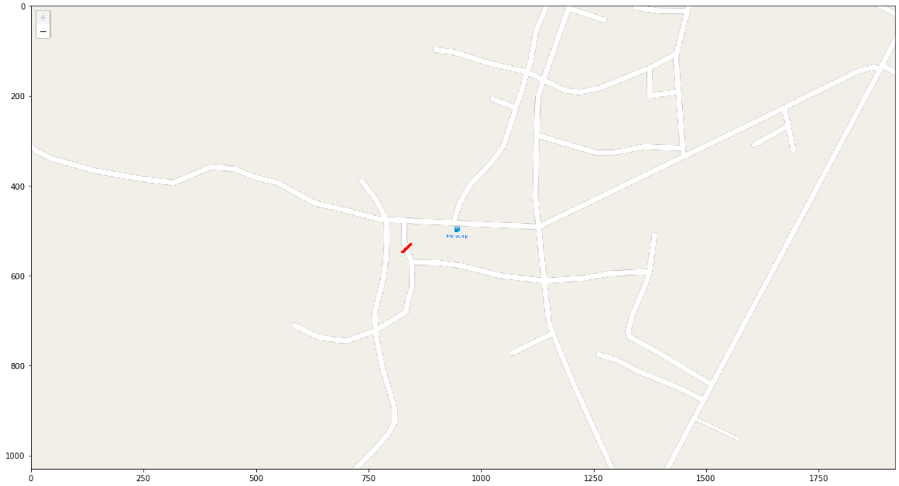
- cross-road
the number of cross-road is 4.
- Add some result to README
- Smooth the path
- Support more color road
