![]()
What is it?
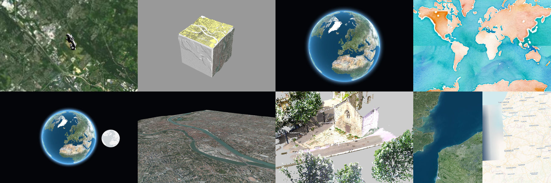
iTowns is a Three.js-based framework written in Javascript/WebGL for visualizing 3D geospatial data.
It can connect to WMS/WMTS/TMS servers including elevation data and load many different data formats (3dTiles, GPX, KML and much much more).

API documentation and examples
Examples
How to use Itowns in your project
You can use it through npm (the preferred way) or download a bundle from our github release page.
With NPM
In your project:
npm install --save itownsThis package contains the ES5-compatible sources of Itowns.
If you're using a module bundler (like wepback), you can directly require('itowns') in your code.
Alternatively, we provide a bundle you can directly include in your html files that exposes itowns in window:
<script src="node_modules/itowns/dist/itowns.js"></script>/!\ Please note that this bundle also contains the dependencies.
From a release bundle
See our release page.
Supported data types and features
- Imagery from WMTS/WMS/TMS
- Elevation (DTM/DSM) from WMTS
- 3D Tiles
- ...
See the feature list wiki page for a complet list of features and data formats.
Licence
iTowns is dual-licenced under Cecill-B V1.0 and MIT. Incorporated libraries are published under their original licences.
See LICENSE.md for more information.
Contributors
iTowns has received contributions from people listed in CONTRIBUTORS.md. If you are interested in contributing to iTowns, please read CONTRIBUTING.md.
iTowns has been redesigned from this early version.
Support
iTowns is an original work from French IGN, MATIS research laboratory. It has been funded through various research programs involving the French National Research Agency, Cap Digital, UPMC, Mines ParisTec, CNRS, LCPC.
iTowns is currently maintained by IGN ( http://www.ign.fr ), Oslandia ( http://www.oslandia.com ) and AtolCD ( https://www.atolcd.com )
![]()
![]()
![]()