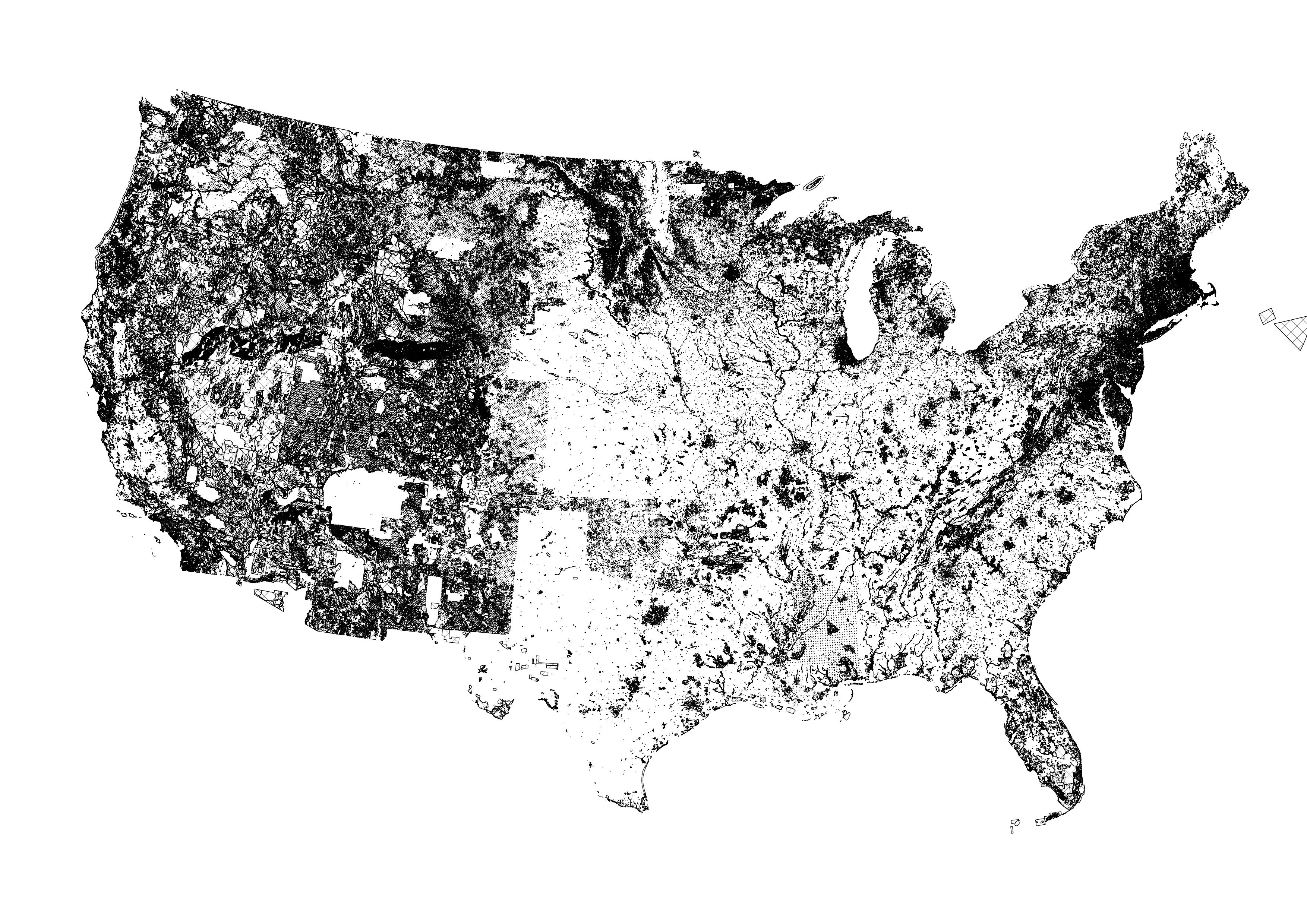
This repository reproduces a workflow to predict land use with a combination of satellite imagery, administrative data, street topology. The imagery used in the model comes from Google Earth Engine, and this script produces the files.
help.Rconstains a function to create spatially lagged variablesextract.Rallows us to convert raster imagery into tabular dataosmnx.ipynbconstructs variables from the street networkleft.Rblends it all together to produce the left side of the regressionlag.Rruns a lasso for feature selection and random forest for prediction
