Measurement Tool for Google Maps API V3
A handy measurement widget for Google Maps API v3. The functionalities are implemented as close as to what current Google Maps offers.
Features
- Add measurement with one line code to your Google Maps web application.
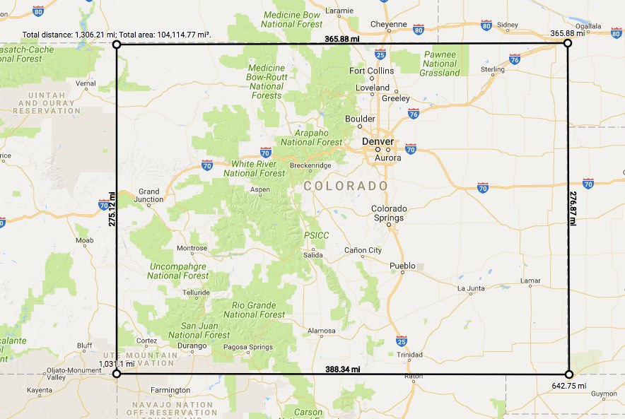
- Measure Length and Area with segment details.
- Support imperial, metric and nautical units.
- Visualize and measure predefined points or as you go.
- Built-in UI for measurement for convenience.
- API for more customizations.
- Support most modern browsers (Chrome, Firefox, Safari, Edge, IE11)
Demo
User usage
- To start measuring, right click the map and choose Measure distance.
- Left click the map, and the measurement between the two locations will display. Keep clicking to add more measurement waypoints.
- To remove a waypoint, left click on the waypoint (the first point cannot be removed).
- To insert a waypoint on the measurement line, click the line. Waypoints can be moved by clicking and dragging them.
- When the first point and the last point are close enough, the area will display.
- To end measuring, right click the map and choose Clear measurement.