TerraFirma.js
This is a library for rendering 3D maps from geoJSON pbjects. It is not a slippy map renderer and only generates a specific area. It supports drawing lines and markers on the map, as well as some basic animations.
Its great for visualizing hiking trails and could be a cool way to display them in a blog.
Currently it only supports mapbox tiles but I would like to possibly add more. DISCLAIMER: it can be fairly heavy on tile requests if you try to generate to large of an area.
Built with THREE.js and turf.js
Makes heavy use of mapbox's terrain RGB api. Also uses their satalite imagry. Shout out to mapbox for having so many cool apis to play around with.
Basic usage
npm install @mpwassler/terrafirma
import TerraFirma from '@mpwassler/terrafirma'

// Define a geoJSON Feature. Can be anything but keep in
// mind the result will always be reqtangular. This is just
// telling it what area you want it to generate for.
let polygon = {
    "type": "Feature",
    "properties": {},
    "geometry": {
        "type": "Polygon",
        "coordinates": [
            [
                [-107.810905, 38.014829],
                [-107.810905, 37.975056],
                [-107.758338, 37.975056],
                [-107.758338, 38.014829],
                [-107.810905, 38.014829]
            ]
        ]
    }
}


window.addEventListener('DOMContentLoaded', (event) => {

  let mapElemenat = document.getElementById('map')

  let map3d = new TerraFirma({
    element: mapElemenat,
    feature: polygon,
    buffer: 10, // extra tile area outside main feature to render.
    bufferUnit: 'meters', // unit of measure for buffer. Ex. meters miles feet
    resolutionMultiple: 1, // Allows you to render higher res satallite tiles. Will slow things down a lot.
    apiToken: "Your Mapbox Key here"
  })

})
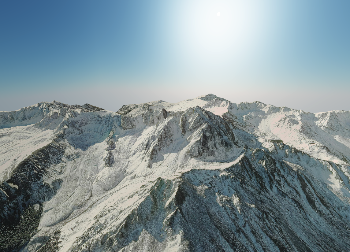
This will output a rendering like.
To point the camera to a new center
map3d.focusOn({
  "type": "Feature",
  "geometry": {
    "type": "Point",
    "coordinates": [125.6, 10.1]
  },
  "properties": {}
})
To add a marker
map3d.drawMarker({
  "type": "Feature",
  "geometry": {
    "type": "Point",
    "coordinates": [125.6, 10.1]
  },
  "properties": {}
})
And to draw a linestring
map3d.drawLine({
    "type": "LineString",
    "coordinates": [[-100, 40], [-105, 45], [-110, 55]]
})
Inputs are all geojson types.
