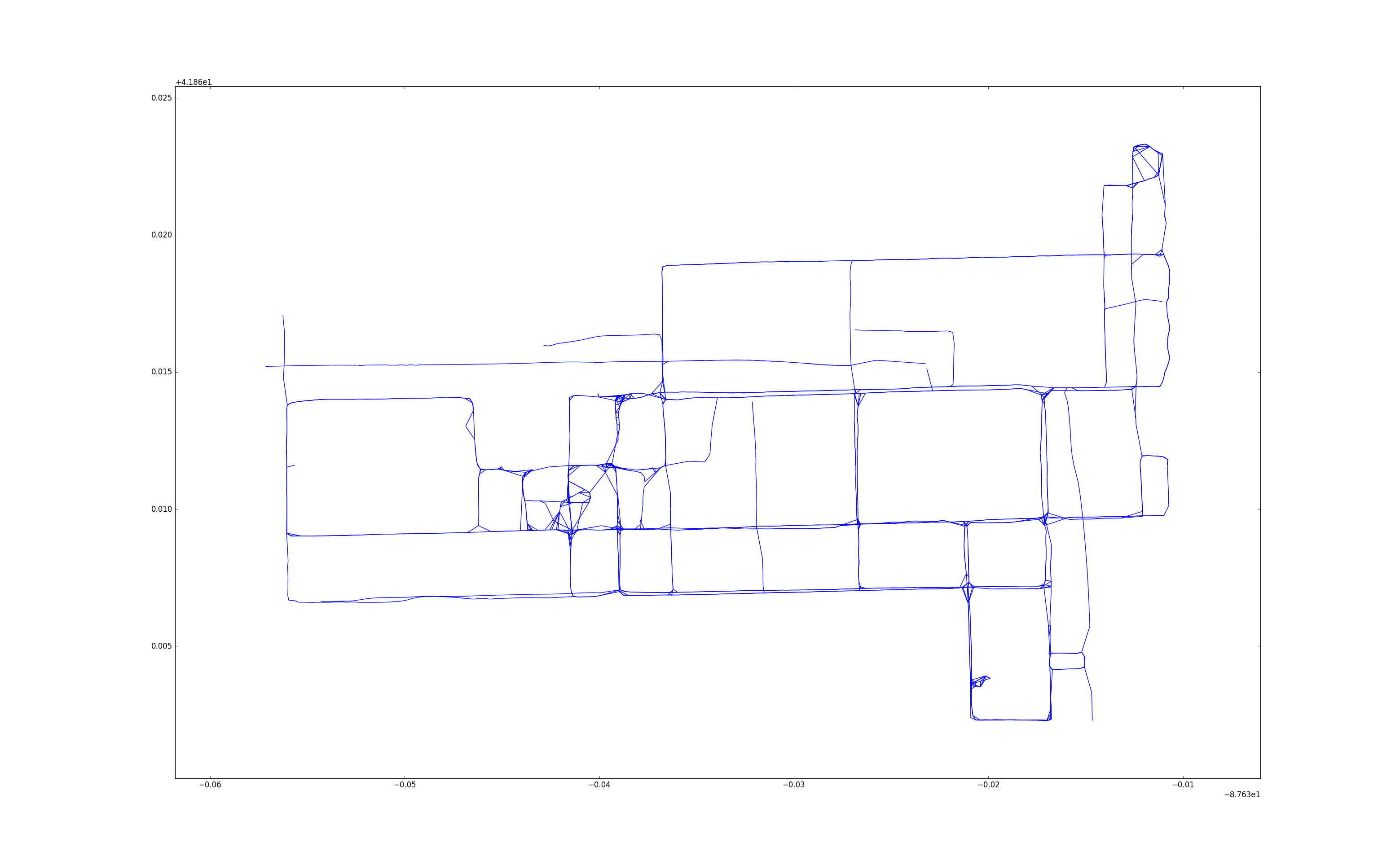
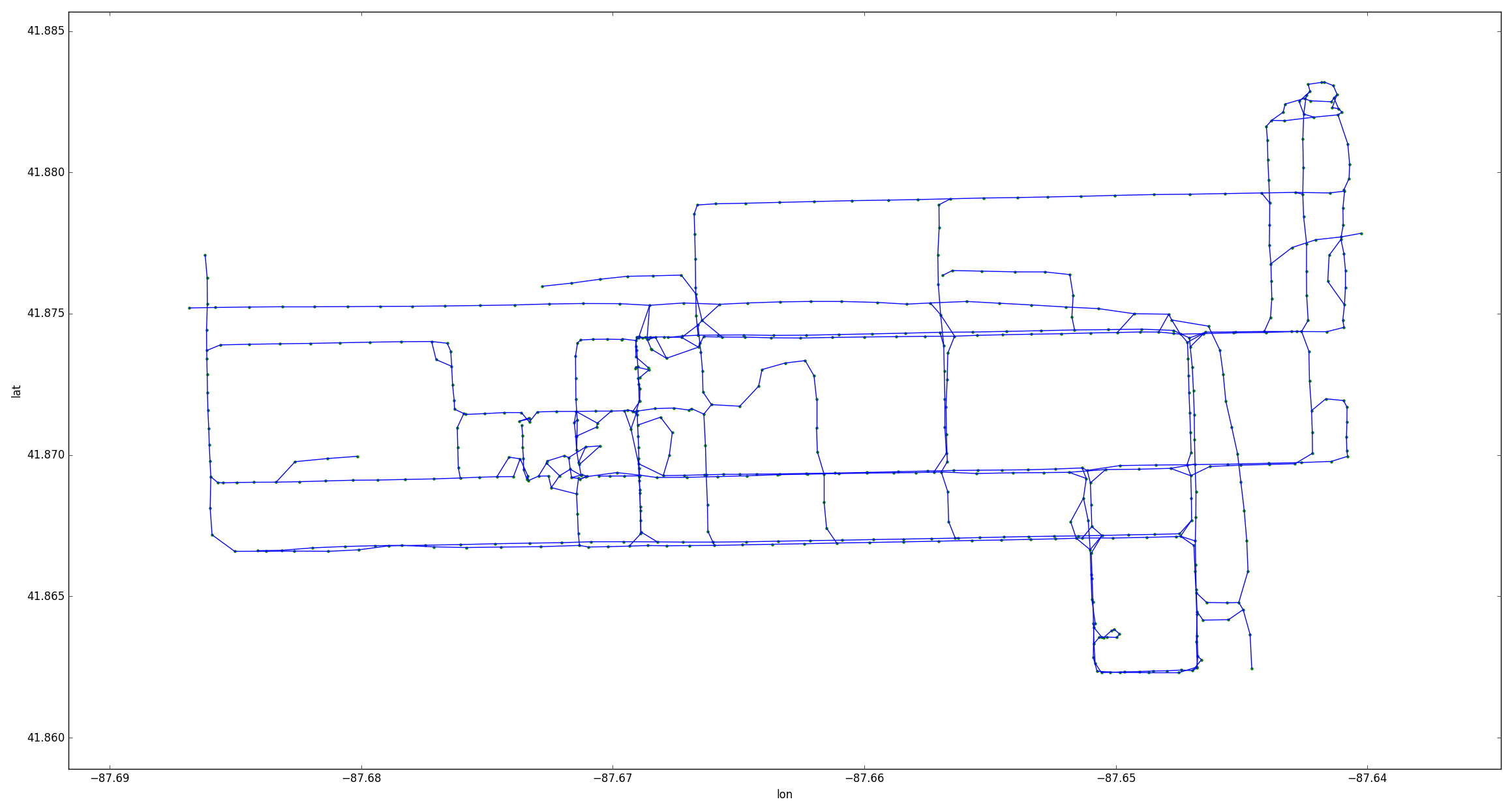
Kharita (Map in Arabic) is a robust and online algorithm for map inference from crowd-sourced gps data. The details of the algorithm can be found in:
Rade Stanojevic, Sofiane Abbar, Saravanan Thirumuruganathan, Sanjay Chawla, Fethi Felali, Ahid Aliemat: Kharita: Robust Map Inference using Graph Spanners. Submitted to ACM SIGKDD'2017 [Arxiv version].
The input is a csv file in the following format: vehicule_id,timestamp,lat,lon,speed,angle
Vehicule_id: important to identify trajectories. Timestamp: important to sort gps points within trajectories timestamp: in the format: yyyy-mm-dd hh:mm:ss+03 angle: in 0-360 interval. Angle to the north.
Kharita can be invoked from command line as follows:
python kharita_star.py -p data -f data_2015-10-01 -r 25 -s 10 -a 40
-p: the folder containing the input data
-f: the input file name without its extension
-r: the radius (cr) in meters used for the clustering
-s: the densification distance (sr) in meters
-a: the angle heading tolerance in degrees (0-360)
python kharita_star.py -p data -f data_uic -r 100 -s 20 -a 60
The code will produce a txt file containing the edges of the generated directed graph.
For any use of this code, please cite our work as follows: Rade Stanojevic, Sofiane Abbar, Saravanan Thirumuruganathan, Sanjay Chawla, Fethi Felali, Ahid Aliemat: Kharita: Robust Map Inference using Graph Spanners. In Arxiv. 2017.
Sofiane Abbar (sofiane.abbar@gmail.com)

