UPDATE Sep 2023
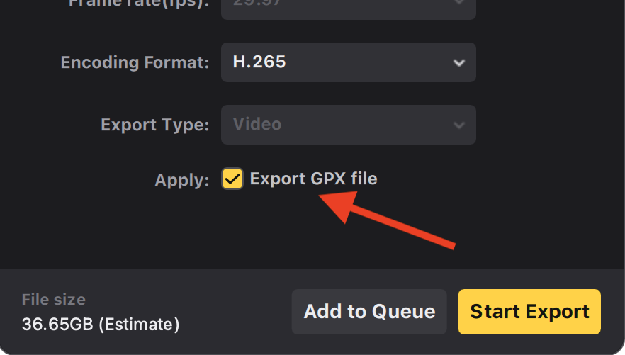
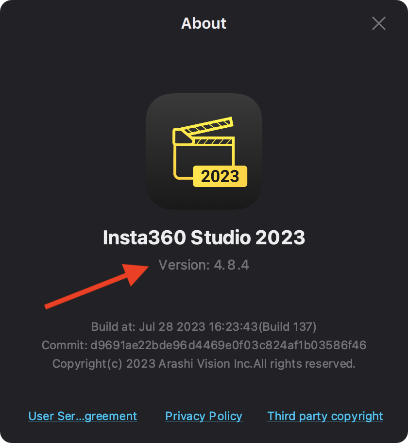
The new Insta 360 Studio release, version 4.8.4, has a new feature to export the .gpx file.
Generate .gpx file having Insta360 video (.insv)
Capturing 360 video with the Insta360 ONE RS 1' 360 edition and then upload to Google Street View (in Google Street View Studio). Steps:
- Capture the 360 video (in this case using the Insta360 GPS Action Remote)
- Transfer files to an external storage drive
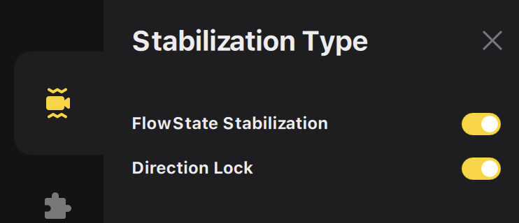
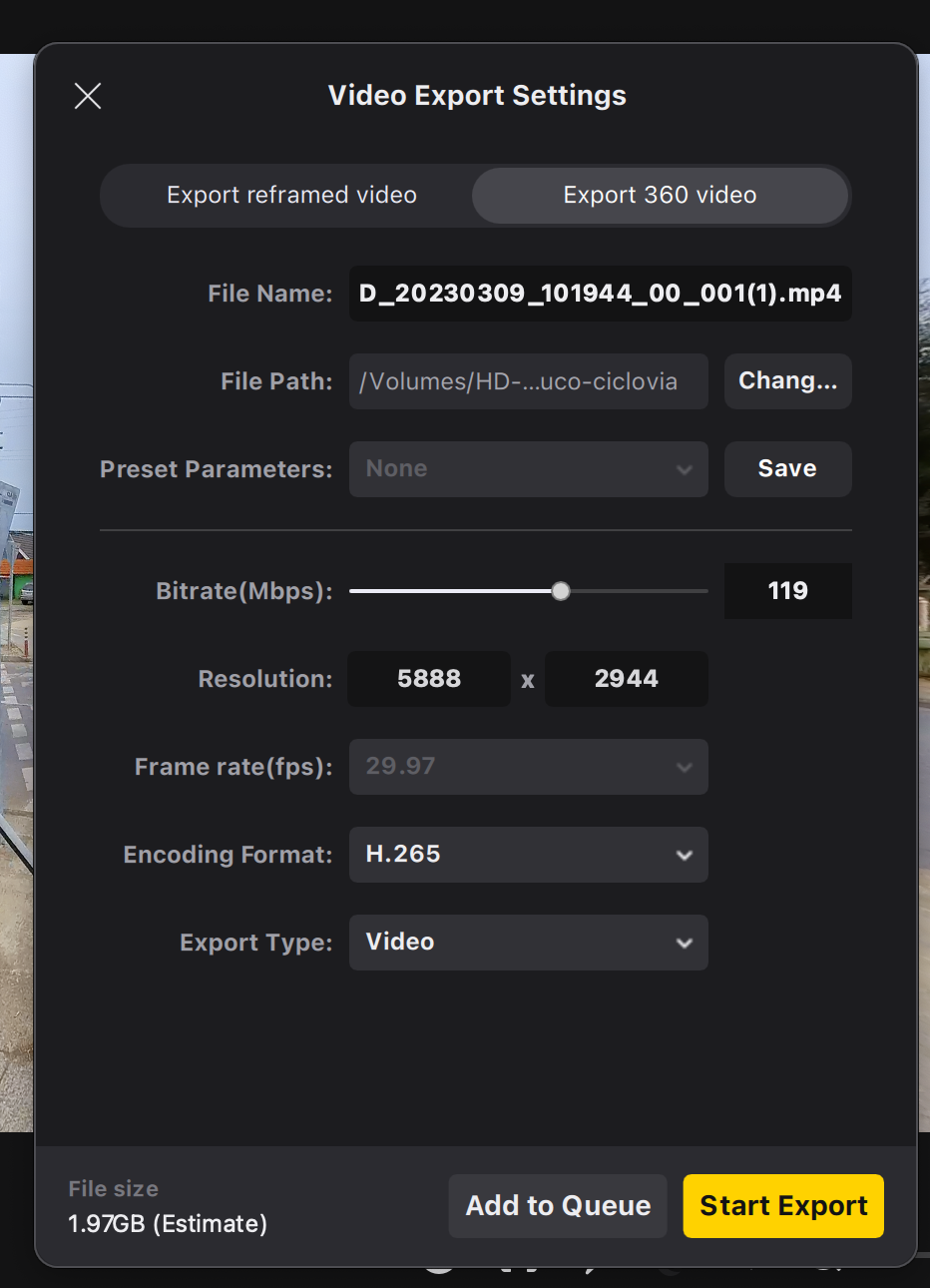
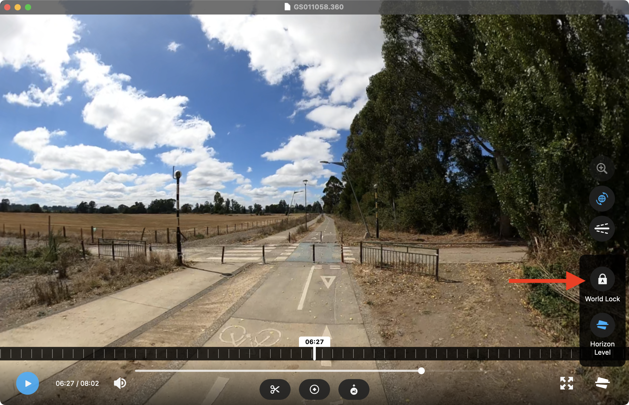
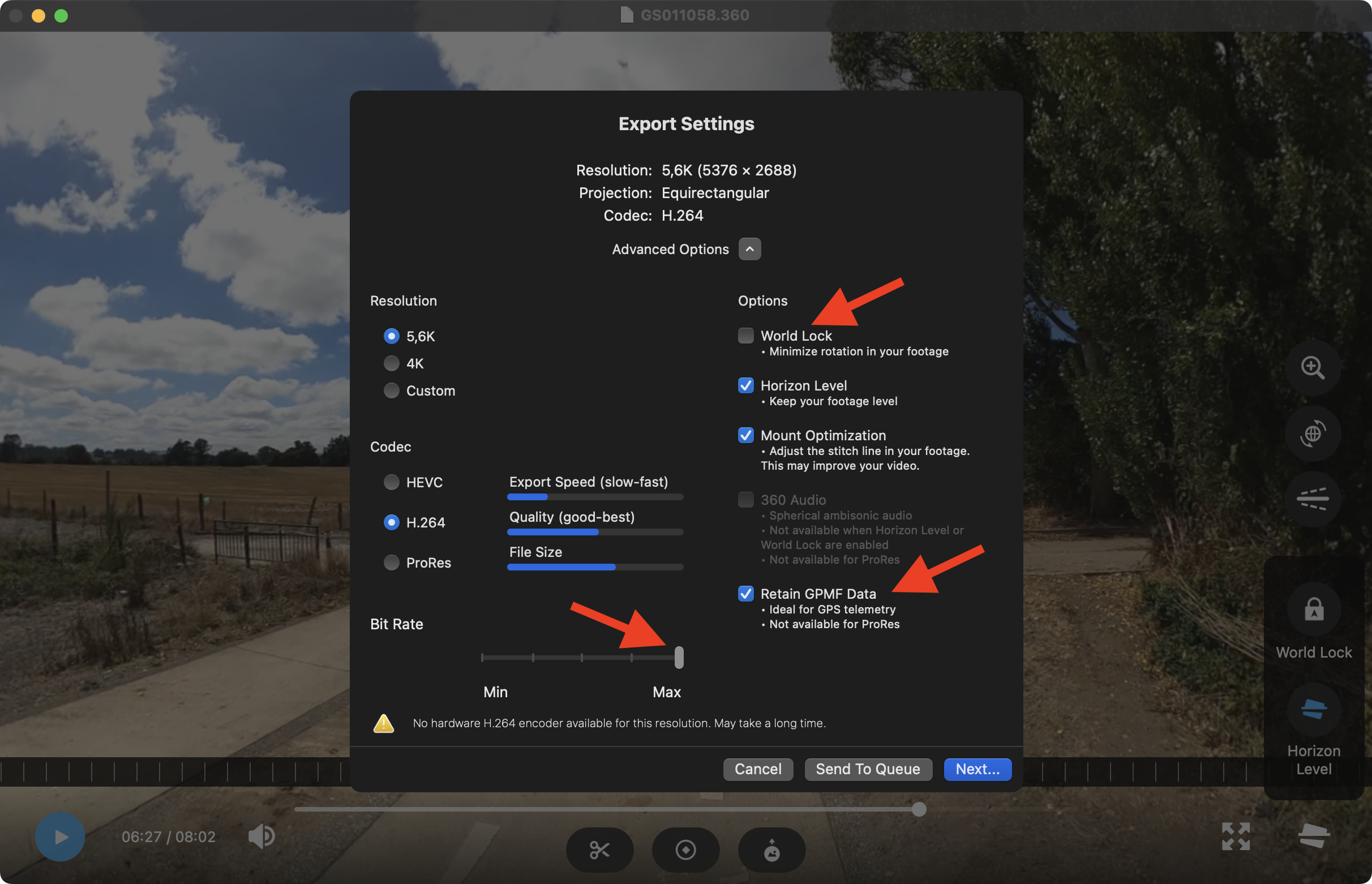
- Export 360 video file as .mp4 (no trim) in the Insta360 Studio (Direction Lock must be enabled)
- Create the .gpx file with exiftool like this
exiftool -m -ee -api largefilesupport -p gpx.fmt VID_20230309_101944_00_001.insv > VID_20230309_101944_00_001.gpx - Go to Google Street View Studio and upload the .mp4 & .gpx files.
- Wait...
/gpx.fmt file (modify as you needed)
#[HEAD]<gpx xmlns="http://www.topografix.com/GPX/1/1" xmlns:gpxx="http://www.garmin.com/xmlschemas/GpxExtensions/v3" xmlns:gpxtpx="http://www.garmin.com/xmlschemas/TrackPointExtension/v1" creator="Oregon 400t" version="1.1" xmlns:xsi="http://www.w3.org/2001/XMLSchema-instance" xsi:schemaLocation="http://www.topografix.com/GPX/1/1 http://www.topografix.com/GPX/1/1/gpx.xsd http://www.garmin.com/xmlschemas/GpxExtensions/v3 http://www.garmin.com/xmlschemas/GpxExtensionsv3.xsd http://www.garmin.com/xmlschemas/TrackPointExtension/v1 http://www.garmin.com/xmlschemas/TrackPointExtensionv1.xsd">
#[HEAD]<trk>
#[HEAD]<trkseg>
#[IF]  $gpslatitude $gpslongitude
#[BODY]<trkpt lat="$gpslatitude#" lon="$gpslongitude#">
#[BODY]  <ele>$gpsaltitude#</ele>
-#[BODY]  <time>${gpsdatetime#;my ($ss)=/\.\d+/g;DateFmt("%Y-%m-%dT%H:%M:%SZ");s/Z/${ss}Z/ if $ss}</time>
+#[BODY]  <time>${gpsdatetime#;my ($ss)=/\.\d+/g;DateFmt("%Y-%m-%dT%H:%M:%SZ");s/Z/${ss}Z/ if $ss; ShiftTime("-8:2:0"); }</time>
#[BODY]</trkpt>
#[TAIL]</trkseg>
#[TAIL]</trk>
#[TAIL]</gpx>
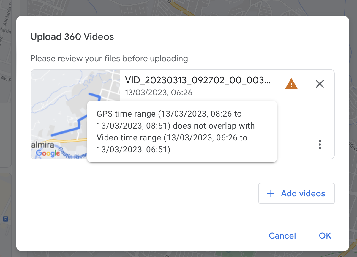
In this case I'm changing the time subtracting 8 hours and adding 2 minutes with the function ShiftTime.
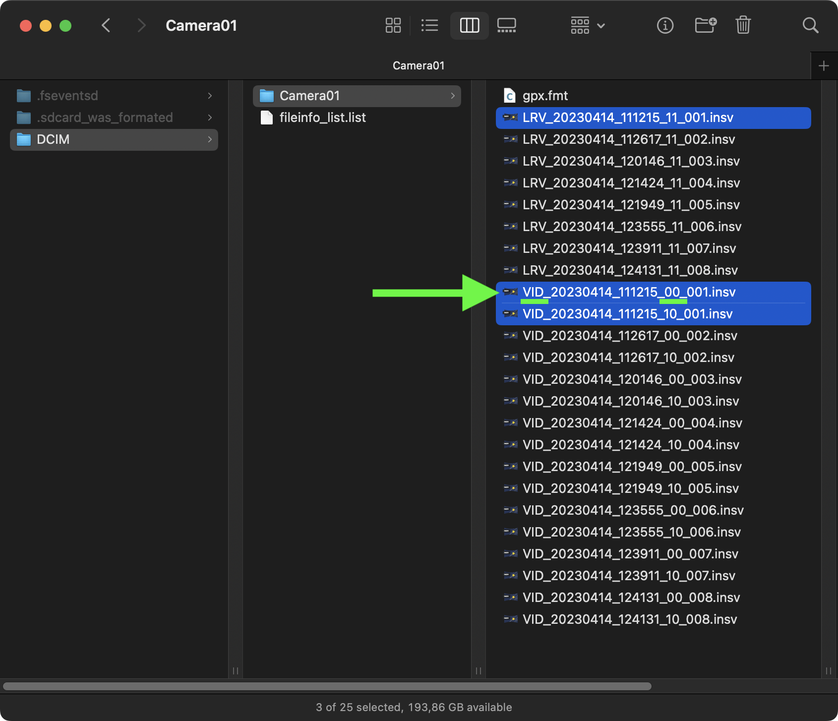
Before run the exiftool command, make sure to reference the right file (the file with the name VID_<YYYYMMDD>_<HHMMSS>_00_<NN>.insv):
Check GPS data in the 360 video:
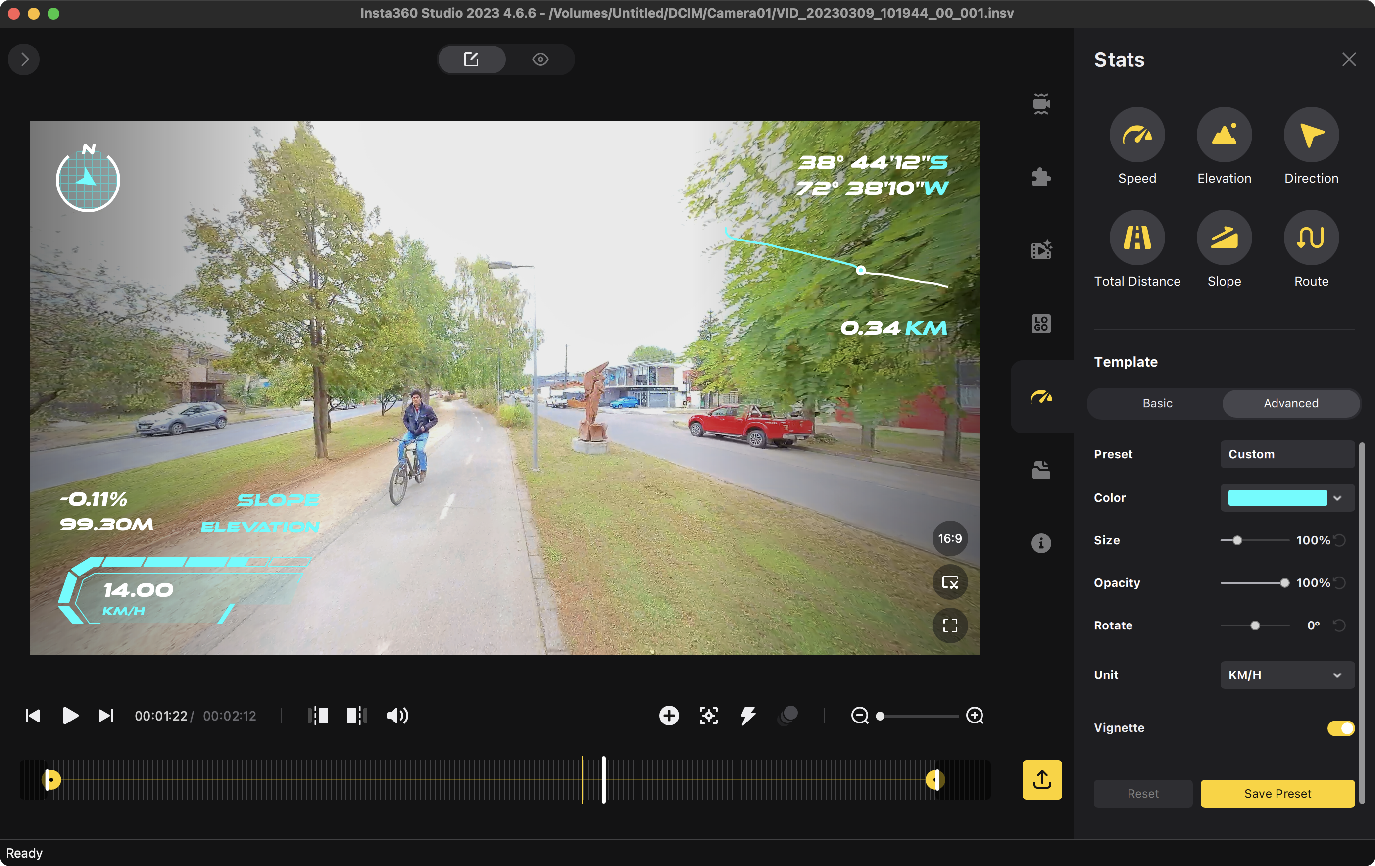
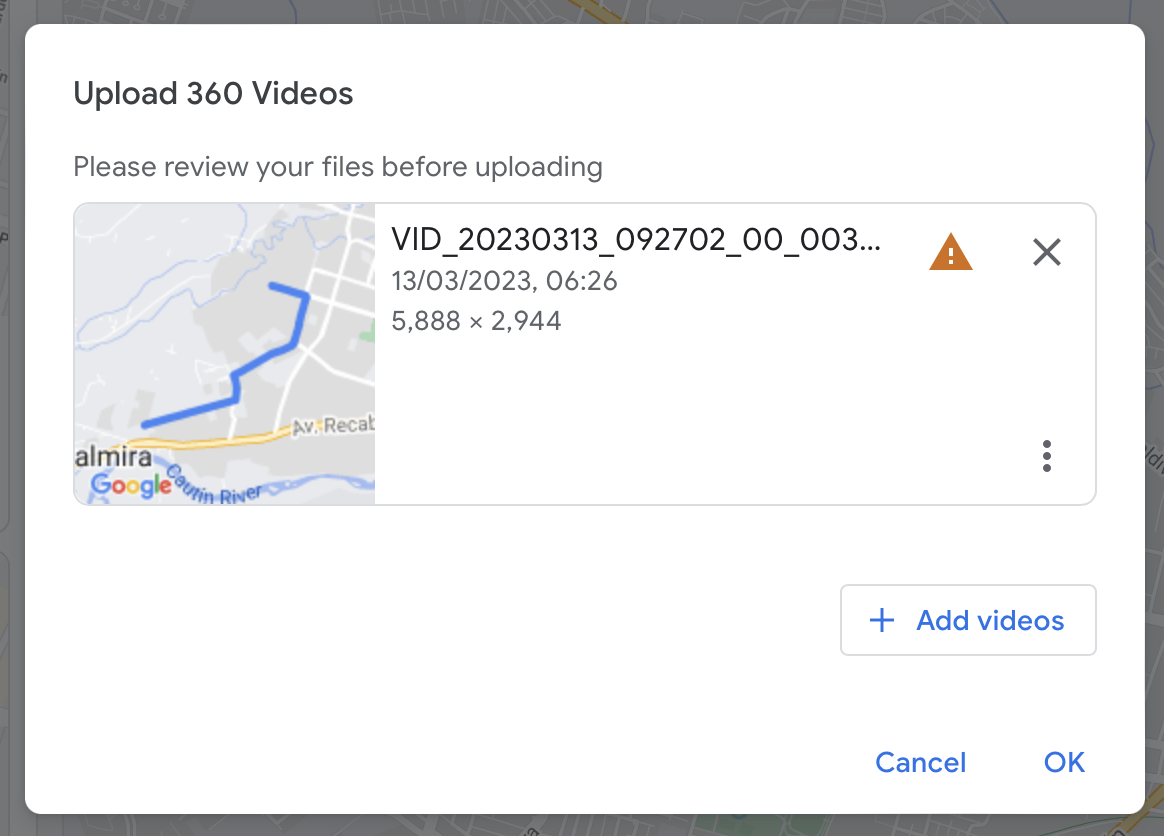
Create .gpx file (warning shows up):

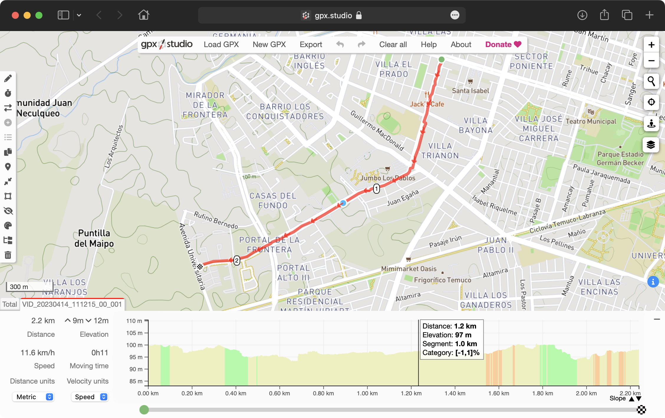
Check .gpx file (ie: gpx.studio)
Google Street View Studio upload file (time range warning)
With the GoPro MAX camera is way more easy. In the GoPro Player app export the mp4 and this file has the GPS info inside (no need to upload a GPX separate file).
