⚠️ This repository is no longer actively maintained by Lukas Martinelli.
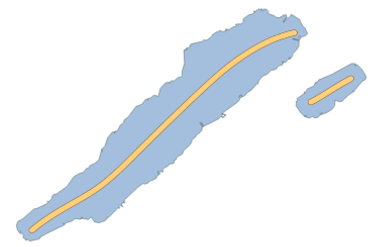
Calculate nice centered linestrings for labelling lake polygons. This repository provides downloadable Shapefiles containing center lines for lake polygons that you can use to label OSM lake polygons. You can match the OSM ID of the linestrings to your data source to merge the data.
It is using ungarj/label_centerlines from Joachim Ungar to calculate the center lines. This doesn't always result the optimal result and has issues with more complicated lake structures but is sufficient enough for most use cases. Linestrings are not calculated for all lake polygons. Very small polygons, multi polygons and lakes without names are excluded.
📂 Download lake center lines as GeoJSON, Shapefile, GeoPackage from the releases page.
The entire project is structured components using Docker containers to work together. Ensure you meet the prerequisites.
- Install Docker
- Install Docker Compose
Start up the PostgreSQL database with the PostGIS extension.
docker-compose up -d postgresNow download a OSM PBF extract and store it in the ./data dir.
wget -P ./data https://s3.amazonaws.com/metro-extracts.mapzen.com/zurich_switzerland.osm.pbfImport the OSM PBF.
docker-compose run import-osmExport a Shapefile containing simplified lake polygons.
docker-compose run export-shapefileCalculate lake center lines from the previously exported Shapefile.
docker-compose run calculate-centerlines