**行政区划矢量图,ESRI Shapefile格式,共四级:国家、省/直辖市、市、区/县。关键字:**行政区划图;**地图;**行政区;**行政区地图;行政区地图;行政区;行政区划;地图;矢量数据;矢量地理数据;省级;直辖市;市级;区/县级;行政区划图。
数据来源:高德Web服务API中的行政区域查询
数据格式:ESRI Shapefile
坐标系统:WGS 84(实际为火星坐标系——GCJ-02,见参考资料;其基于WGS 1984,但在经纬度中加入了看似随机的偏移)
-
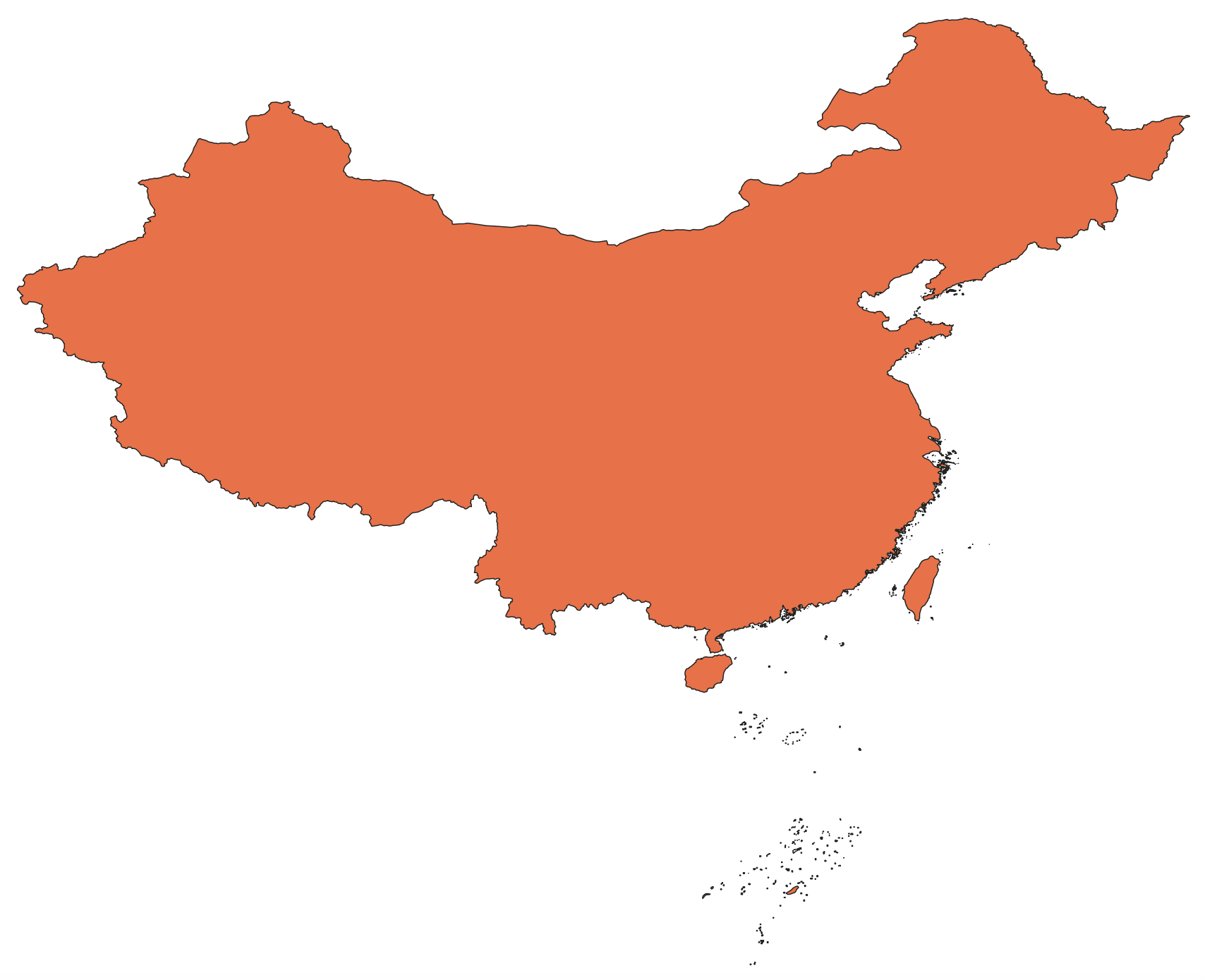
Country(国家级):country.shp
-
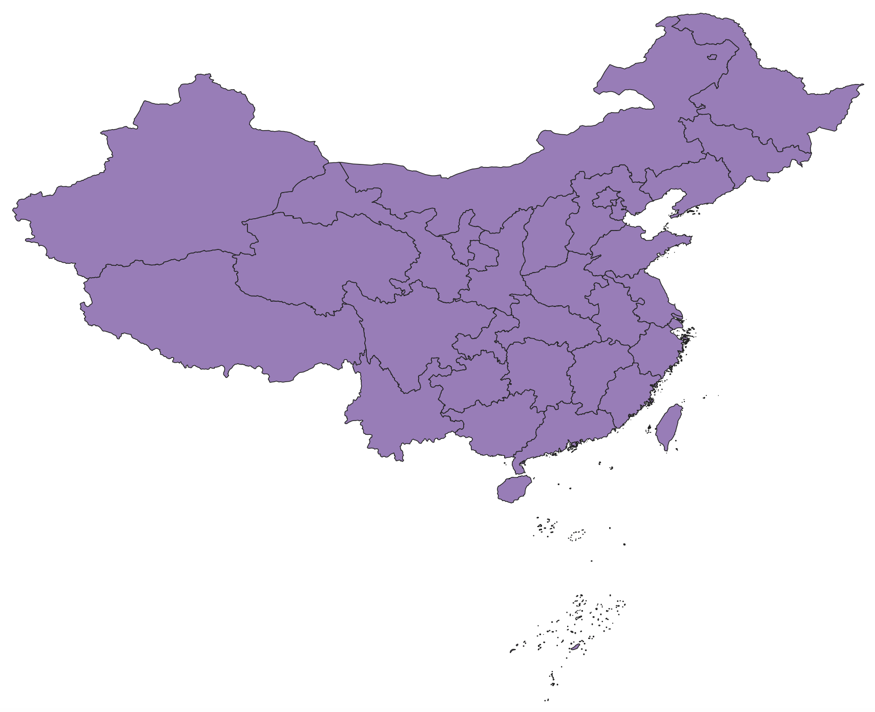
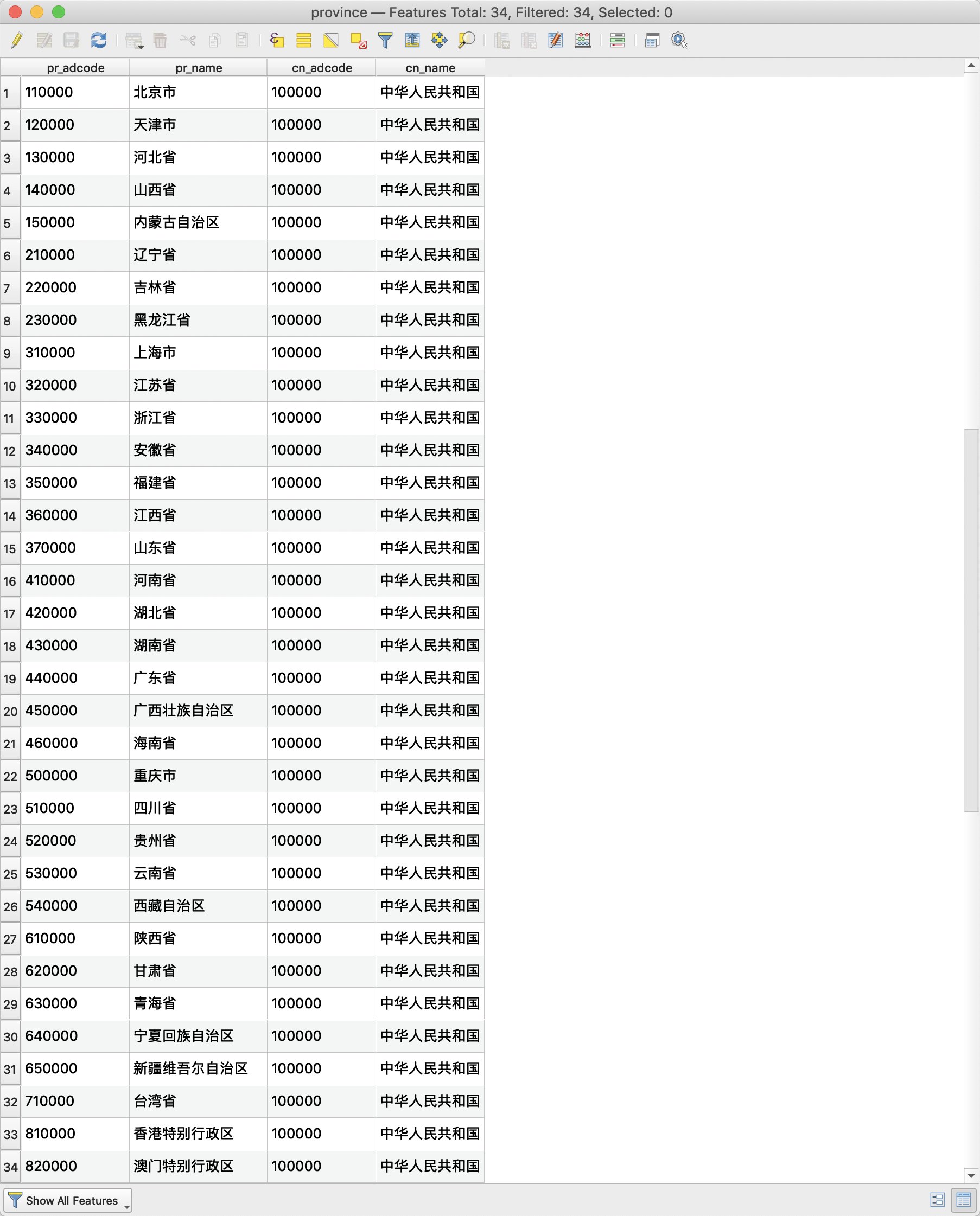
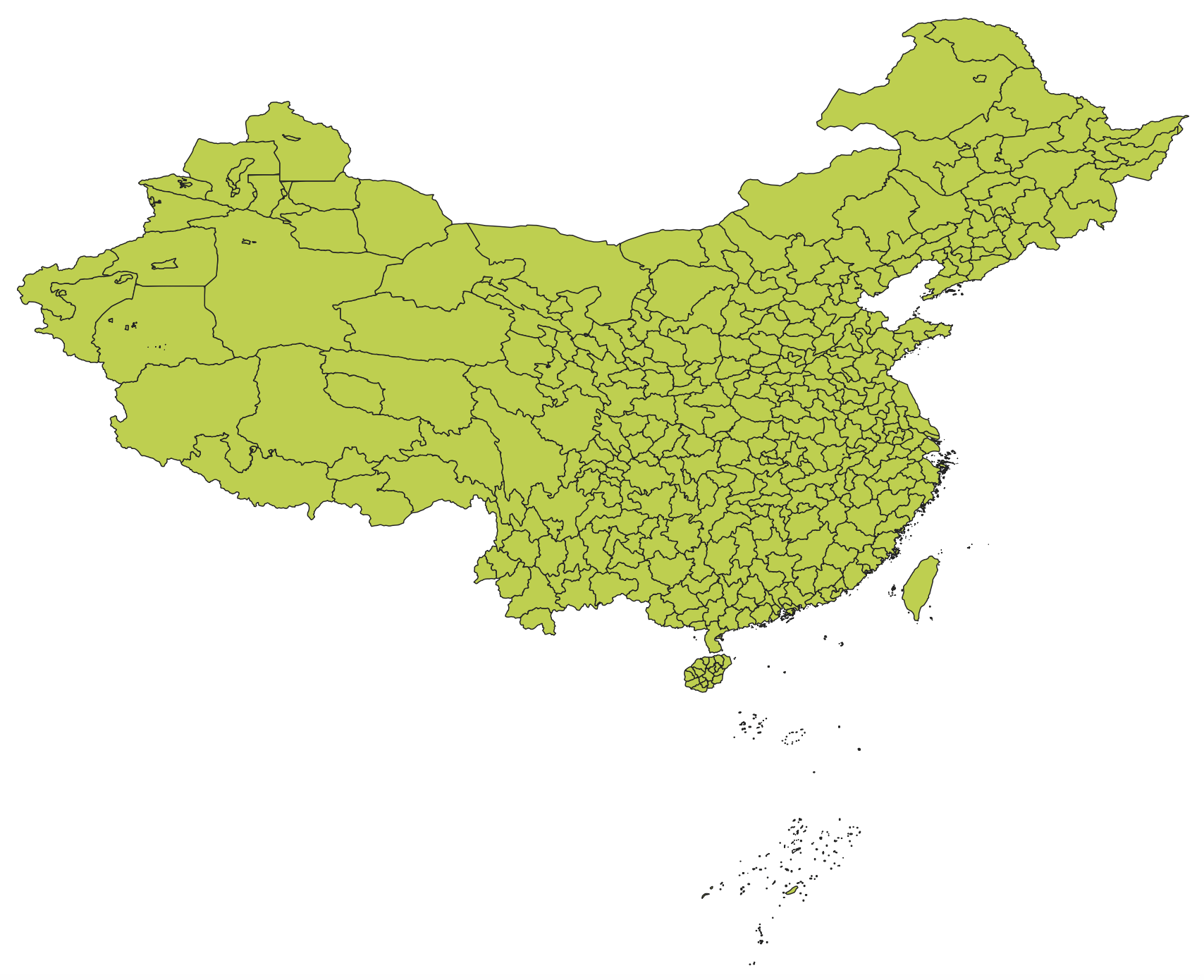
Province(省级):province.shp
-
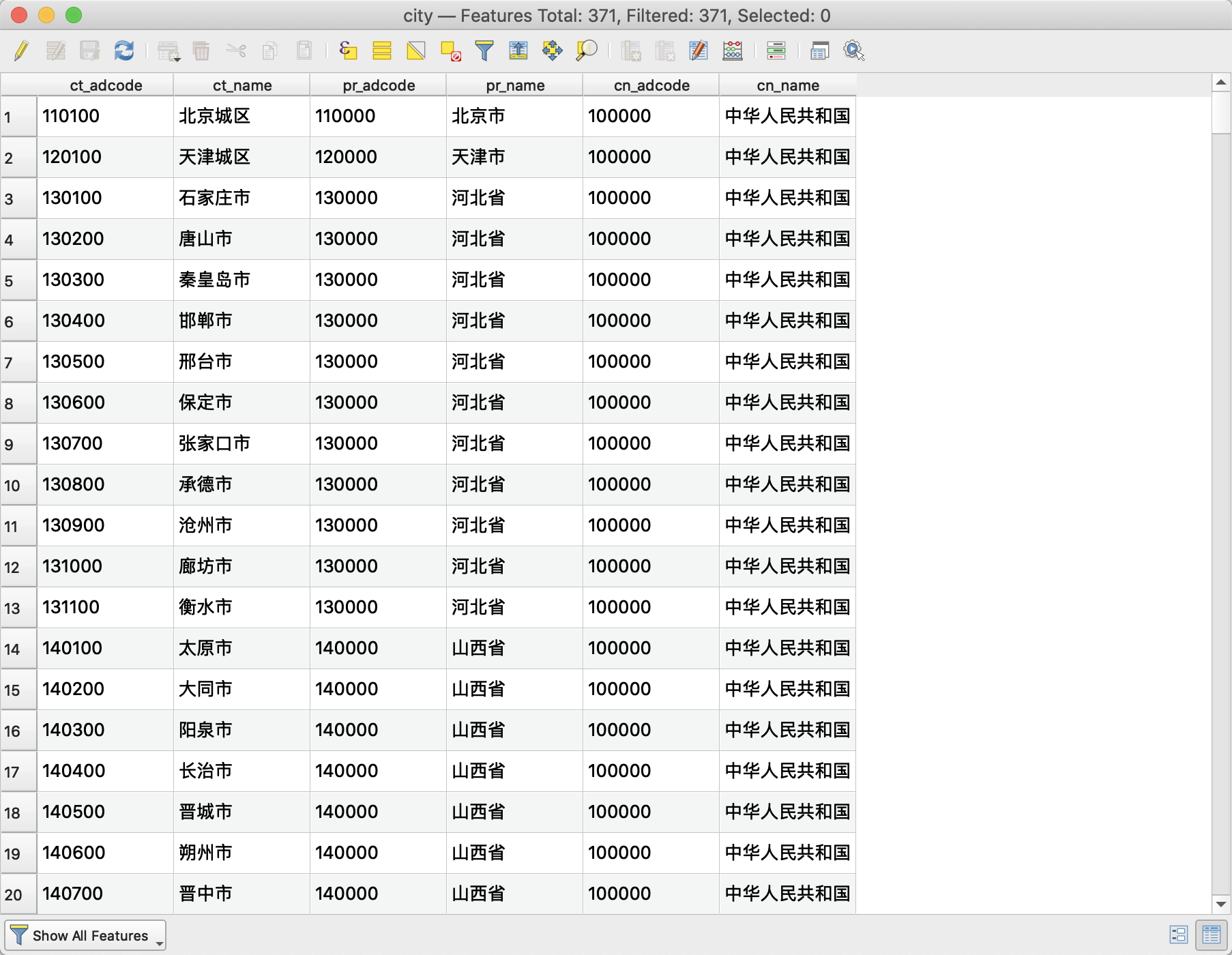
City(市级):city.shp
-
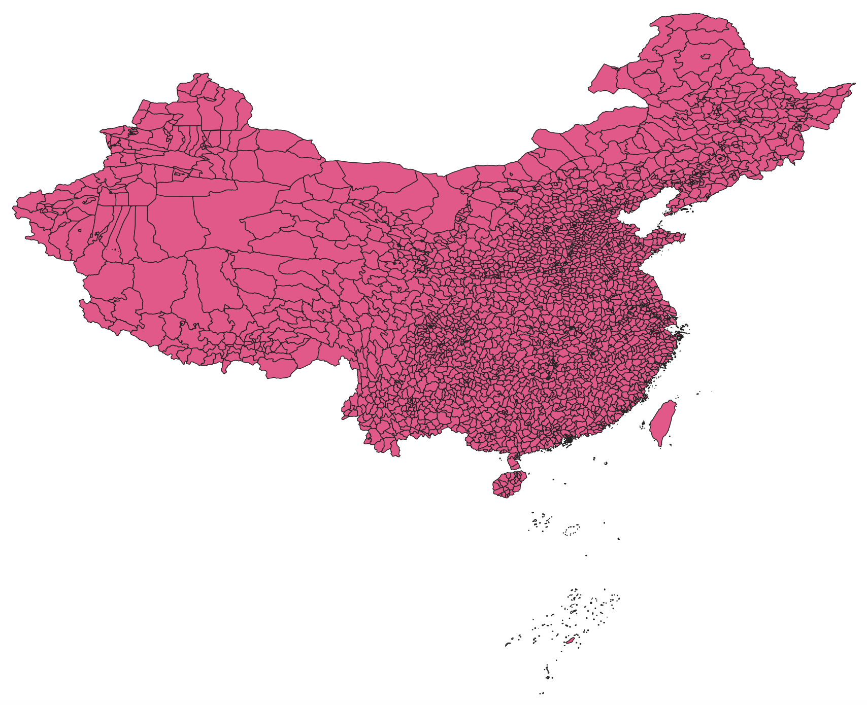
District(区/县级):district.shp
-
Country
-
Province
-
City
-
District
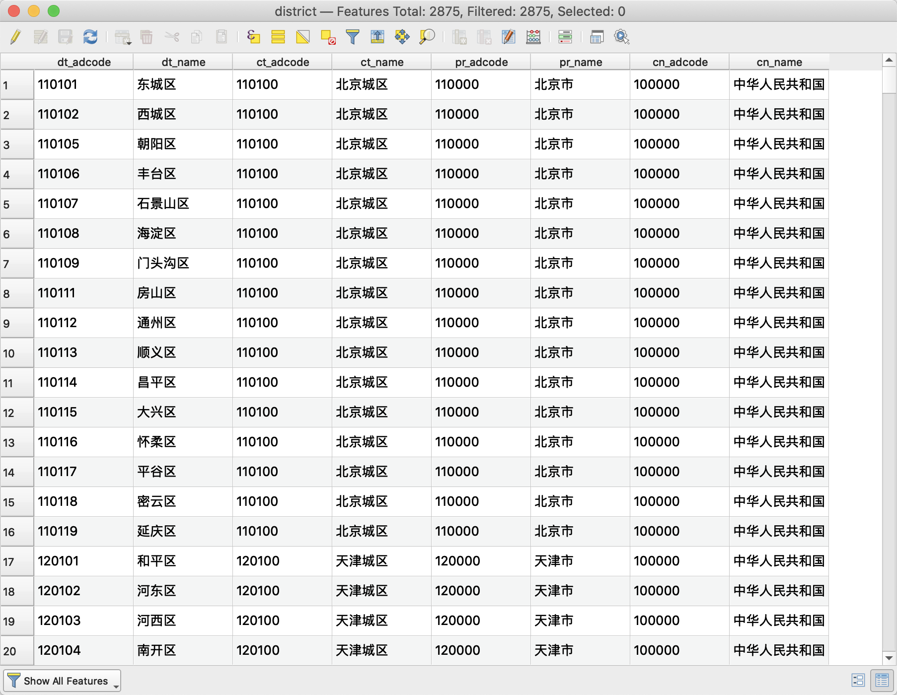


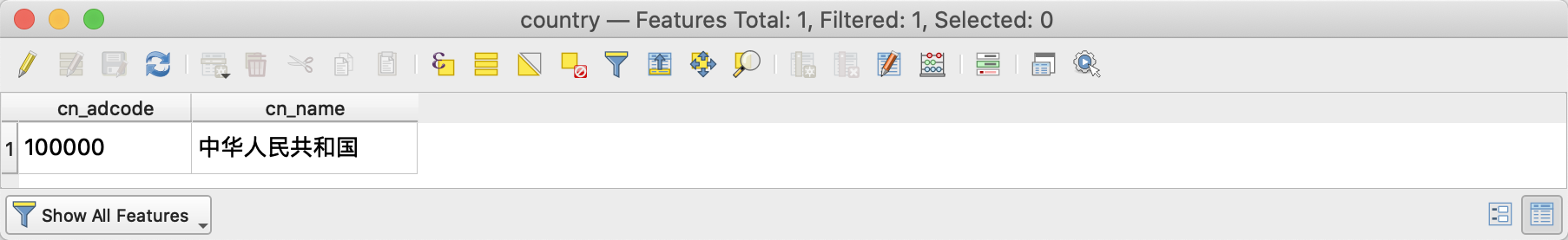
有关属性数据中的一些英文简写说明
adcode:administrative code,行政编码(六位数字, 前两位是省,中间是市,后面两位是区/县)
cn:country
pr:province
ct:city
dt:district
推荐引用格式:GaryBikini/ChinaAdminDivisonSHP: v2.0, 2021, DOI: 10.5281/zenodo.4167299
[1] JIANG ZY, ZHAO S, YANG ZY, JIA FL, HÁJEK J. A review of Copelatus Erichson, 1832 of Mainland China, with description of ten new species from the japonicus complex (Coleoptera: Dytiscidae: Copelatinae). Zootaxa. 2022;5124(3):251-295. doi:10.11646/zootaxa.5124.3.1
[2] Chang H, Li L, Huang J, Zhang Q, Chin KS. Tracking traffic congestion and accidents using social media data: A case study of Shanghai. Accid Anal Prev. 2022;169(August 2021):106618. doi:10.1016/j.aap.2022.106618