COVID-19 Coronavirus Map / 新型冠状病毒肺炎疫情图
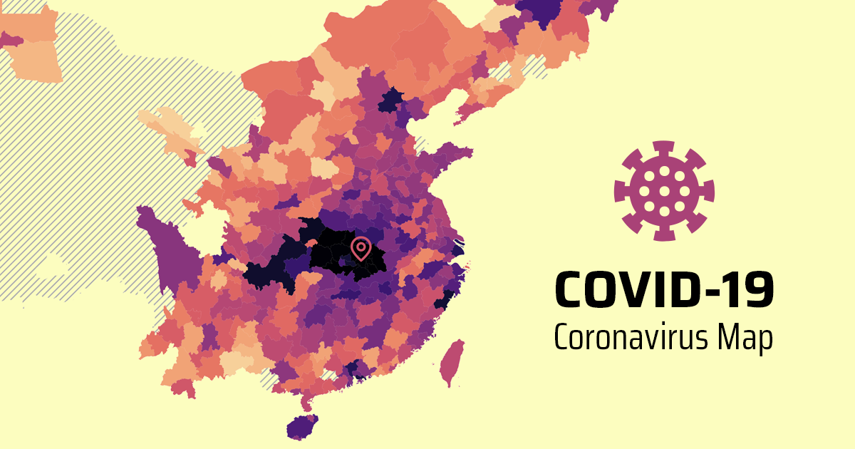
COVID-19 (2019-nCOV / SARS-CoV-2) Coronavirus Map (https://covid19.health) is an interactive, animated map for the COVID-19 coronavirus outbreak.
The map is based on multiple sources (see below for details). If you are interested, the integrated dataset can be found here. Note that numbers in different data sources may not match with each other exactly.
Pull requests are welcome. If you'd like to support the work and buy me a ☕, I greatly appreciate it!

Data Sources
- Worldwide/United States/Australia/Canada: 2019 Novel Coronavirus COVID-19 (2019-nCoV) Data Repository by Johns Hopkins CSSE
- China/Worldwide: COVID-19/2019-nCoV Time Series Infection Data Warehouse (data crawled from Ding Xiang Yuan)
- United States (county level): 1Point3Acres COVID-19 in US and Canada
- Italy: Dati COVID-19 Italia
- South Korea: parksw3/COVID19-Korea
- France: cedricguadalupe/FRANCE-COVID-19
- Germany/Austria/Netherlands/Sweden/Poland/Norway/Czechia: covid19-eu-zh/covid19-eu-data
- Japan: 新型コロナウイルス感染速報
- Spain: datadista/datasets
- Switzerland: daenuprobst/covid19-cases-switzerland
- United Kingdom: tomwhite/covid-19-uk-data
- Iran/Chile: Wikipedia
- Portugal: Dados relativos à pandemia COVID-19 em Portugal
- Brazil: COVID-19 Brazil - time series data
- Malaysia: ynshung/covid-19-malaysia
- Belgium: eschnou/covid19-be
- Russia: grwlf/COVID-19_plus_Russia
- Ecuador/Mexico/Argentina/Peru/Colombia: Latin America Covid-19 Data Repository by DSRP
- India: covid19india
- Ireland: andrewm4894/ireland_covid19_data
- South Africa: Coronavirus COVID-19 (2019-nCoV) Data Repository for South Africa
- Philippines: gigerbytes/ncov-ph-data
- Romania: Coronavirus COVID-19 România
- Indonesia: Monitoring COVID19 Indonesia by catchmeup.id
- Saudi Arabia: Saudi Arabia Coronavirus disease (COVID-19) situation
- Thailand: TH-STAT.com
- Pakistan: ShahrozTanveer/covid19-pakistan
Maps
Original map shapefiles are from GADM, which are converted to TopoJSON files using mapshaper.