Beeline
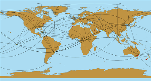
A simple QGIS plugin that creates lines along great circles to connect a set of input points. Example:
Project home and bug tracker: https://github.com/Ah4b/Beeline
Important notes on input data:
- accepts only WGS 84
- ignores invalid geometries
- works well for up to a few hundred input points (save your project and edits!)
Third-Party Components
GeographicLib by Charles Karney: https://geographiclib.sourceforge.io/
License
This program is free software; you can redistribute it and/or modify it under the terms of the GNU General Public License as published by the Free Software Foundation; either version 2 of the License, or (at your option) any later version.
