Build database for landuse / landcover spatial dataset
This repo was developed under API-SMAL project to combine RPG data, CLC data, and AROPAj output data for a basis of inter-disciplinary, inter-dept models and scenarios.
Goals at first go:
- load CLC vector files by year
- load pre-processed PRA files (ilot files containing geom objects, culture files) by year
- combine / subsample them in a clever, representative way that persists across scales (PRA: 900 km2 scale; Département: 6 000 km2 scale; Region 30 000 km2 scale)
- load AROPAj spatialized data
- adjust land use by model output
Adjusted goals:
- load AROPAj spatialized data
- use scenario model results as baseline land use / landcover
We're taking pixel data from the aropaj output files (table.compil), adding them to the project database, then running Views in postgresql to general land use tables and / or maps.
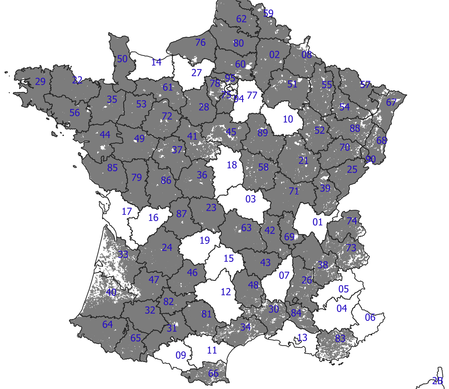
 {width=80%}
Steps
Organize above objects in a postgresql database with postgis extension.
Summer 2019: it was decided in the June meeting to use AROPAj model output (land use / land cover "maps") as input to other models.
General workflow : mapping aropaj outputs
- maps of the "pixels" (shapes) of aropaj were previously loaded in postgis -> apismal01admin/Databases/apismal01/Schema/public/{name based on the subsidy value} -> Views to be made to visualize that reuniting different groups of crops in "formalisme commun" (currently a text file on Jeff's computer 09-10_script.sql), it is basically a view mapping the pixels from aropaj to "petites régions agricoles" (PRA).
- generation of aropaj data on aeropaj server (done by Jeff, see Pierre-Alain if need more information), done for all scenarios -> ~/aropaj_tablecompil (current ones)
- import those to postgis (R/04_aropaj-to-db.R) -> can view them with http://138.102.84.194/browser/ (ex corentin.barbu@inra.fr/apismal2019) -> apismal01admin/Databases/apismal01/Schema/tomap/Tables/
- Map the results fo aropaj simulations by PRA, based on link defined on point 0.
- Summarize surface of each compoenent in the formalism commun by PRA or region. -> View, on Jeff computer -> Can be given to Simon or Floriane to do the modelling (if needed jeff@jnorville.com)
Spatialization workflow
-
update path to AROPAJ script storage (respect sense of ///)
-
run using "source" to get one file under "tomap" (as in, "to map") schema
File inventory
The following list of R files are found under map/R directory:
01_load_postgis.R
02_load_restof_postgis.R
03_formalize
04_aropaj-to-db.R : main file to output the gis database, modified from 11 and 13
06_aropaj_to_db_output.R : Vincent's file to include emiss23T in output table
10_SpatiA_3_fonctn.R
11_SpatiA_4_spatialisation_des_sorties_aropaj.R - legacy reference
12_SpatiA_4_spatialisation_LOCAL.R - mofified from file 11, above
13_SpatiA_5_mise_au_propre_des_tables_compil.R - legacy reference
20_expACPbyPRAoptimized.R
21_acpLULCchange.R
99_sarsdataToMap.R
99_brouillon.R - tool to load (Windows) clipboard contents to postgresql db (cross platform???)
Results:
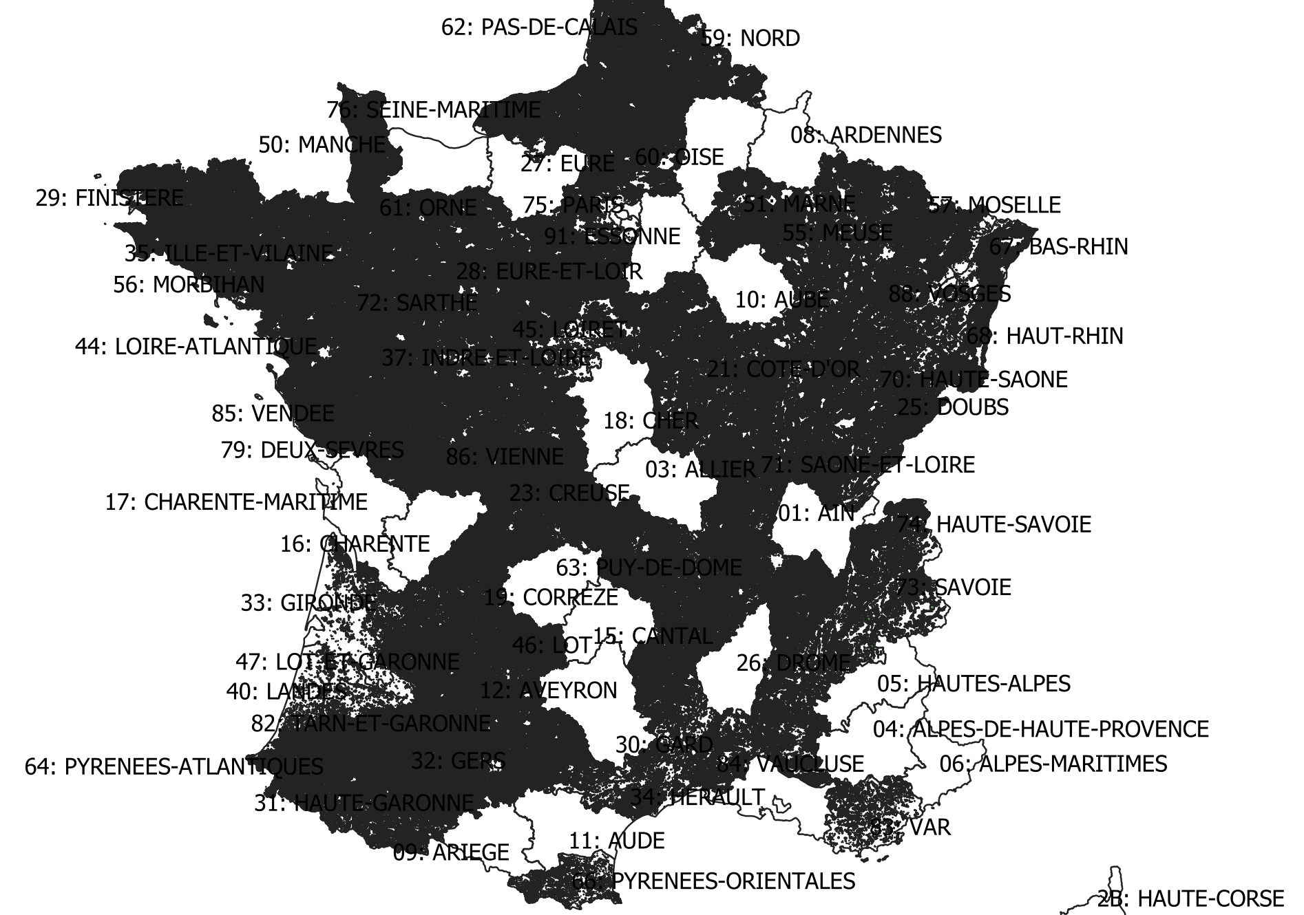
- when summing by region, CLC and RPG data are problematic
- Some .RDA files appear to have wrong dataheaders
- Appear to be missing departments I thought were already loaded (map, below)
Standards
Following the convention recommendations here:
https://richpauloo.github.io/2018-10-17-How-to-keep-your-R-projects-organized/
updated 8 october 2019 Jeff Norville
naming convention
The shapefiles contain the probability that a given landuse (name of shapefile) is present on a given pixel (polygon within the shapefile) based on a hypothetical subsidy.
Ex: grassland_sub250.shp
- landuse = grassland, this landuse combines permanent and temporary prairies
- subsidy = 250, or €250 per hectare
- range of values of each pixel from 0 to 1 *
values
region - RICA/FADN region code gridcode - pixel reference in aropaj (unique only within a region) codepra - SAR or Petites régions agricoles geom - geometry object NB these sum to Surface Agricole Utile, not the same as total surface area grassland - likelyhood to occur on this pixel simul - see below importdtt - date added / replaced in database aropajscript - model run script id
addenda
shapefiles in this directory were generated directly from the postgresql/postgis database titled api2 (the development database) currently being copied into apismal01 (a production version)
Minor differences may occur between the two.
The abbreviation "simul" refers to simulation; the model run these data are based on 25 simulated subsidies to increase conversion of cropland to prairie (for details see param-setups.xlsx under Dropbox\API-SMAL_Partage_Animation\Fiches_modeles\aropaj_plots). We've picked the following values for scenarios: simulation 6 : subsidy = 0€ ; simulation 11 : subsidy = 250€/hectare; simulation 16 : subsidy = 500€/hectare; simulation 21 : subsidy = 750€/hectare; simulation 26 : subsidy = 1000€/hectare
- technically the max(grassland) value from grassland_sub250.shp is "1.00000000754551" ... however, precision beyond the 8th digit isn't significant on the system used to calculate these results.
SQL for grassland_sub250.shp began as a table
CREATE TABLE grassland_sim11 AS (
SELECT grid.region, grid.gridcode, grid.codepra, grid.geom, (a.surfafsh) as grassland, a.simul, timestamp as importdtt, '190412130048_APISMALd2190920134434' as aropajscript
FROM public.dsgrid_pra2 grid
	LEFT JOIN tomap."190412130048_APISMALd2190920134434" a ON grid.gridcode = a."GRIDCODE"
	AND cast(grid.region as integer) = a.region
WHERE simul=11) ;
--gist indices are important for gis-speed performance in postgis but don't impact the shp files
CREATE INDEX idx_grassland_sim11 ON grassland_sim11
  USING GIST (geom);


