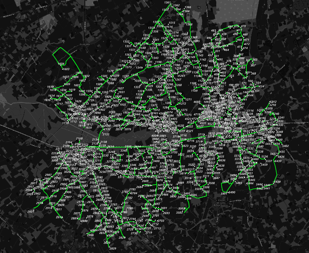
This is a small application to optimize routes to drive along all locations in an area.
Documentation is available here.
This tool:
- Loads a routing network from OSM for Belgium
- Save file with a cutout around the input file locations.
- Loads a set of locations from a CSV file.
- Calculates the best path along the locations:
- Start location is the first location in the CSV.
- End location can be anywhere.
- Tries to avoid u-turns where possible.
The result is something like this:
