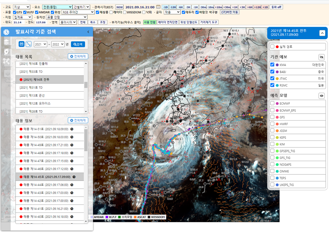
Weather Analysis System on GIS System
- Plot and Overlap several Weather Observations (GTS, satellite, radar, AMDAR, ASCAT)
- Support Zoom/Drag
- Provide Time-lapse Animation
- Provide Tropical Storm Forecasts Track
- Provide Observation Station Skew-T Diagram
- Comparison Observation to Numerical Weather Prediction (Provide Bias and Plot of Contours)
[Demo image]