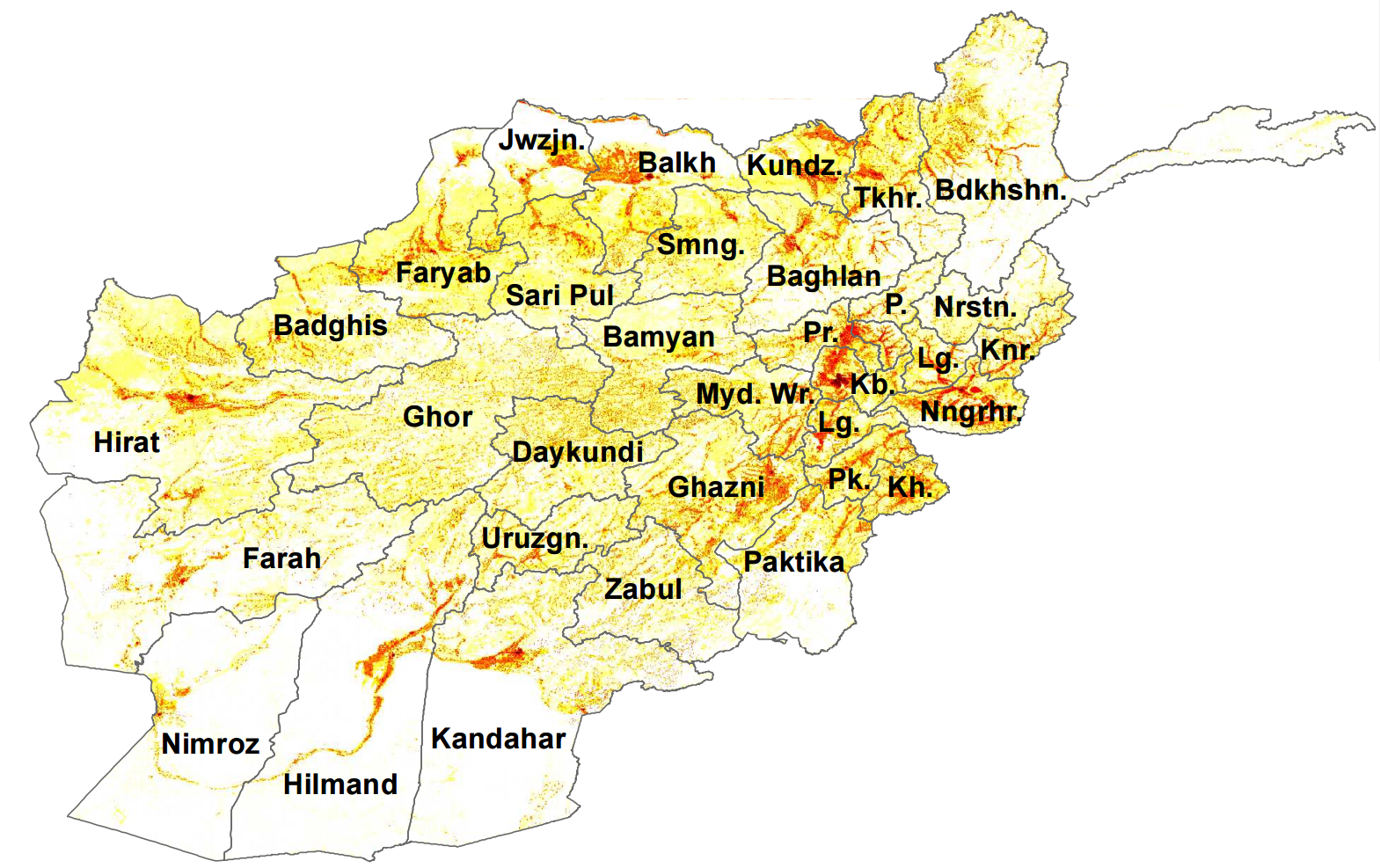
Afghanistan Population Heat Map
This tiny web app displays a population heat map over Afghanistan on Google Earth. Take it for a spin here. The heat map data loads at different levels of detail as you zoom and pan the map.
Frontend
The frontend is web application of 46 lines of JavaScript code. jQuery/ajax is used to load heat map data dynamically, and the Google Maps API is used for both Google Earth and the overlay.
Backend
If the population data was generated by a mathematical model, it could be calculated by the backend at runtime. In this hack, however, I'm only using pre-generated data. My heatmap data is generated by a Python script with an image I found as input:

