gdalwebsrv
The goal of gdalwebsrv is to provide access to some online image servers using standard tools.
This package contains no code for reading rasters, it’s simply a convenient way to access configuration files that can be used as sources of web imagery.
WIP, currently pretty limited there are only 5 sources (from 17 ) that we allow in for now while things are figured out.
Installation
remotes::install_github("hypertidy/gdalwebsrv")You can install the released version of gdalwebsrv from CRAN with:
install.packages("gdalwebsrv")Example
This is a basic example to get various kinds of imagery.
Each server_file() is a path to a GDAL readable tile server, one of
each of the available_sources().
library(gdalwebsrv)

available_sources()
#>  [1] "wms_arcgis_mapserver_ESRI.WorldImagery_tms"
#>  [2] "wms_arcgis_terrain_tms_lerc"
#>  [3] "wms_bluemarble_s3_tms"
#>  [4] "wms_googlemaps_hybrid_tms"
#>  [5] "wms_googlemaps_satellite_tms"
#>  [6] "wms_googlemaps_terrain_tms"
#>  [7] "wms_googlemaps_terrainextra_tms"
#>  [8] "wms_googlemaps_tms"
#>  [9] "wms_openstreetmap_tms"
#> [10] "wms_virtualearth"

## all this package does is keep a list of these
gmap_file <- server_file("wms_googlemaps_tms")
Now we might use the server one way or another.
library(gdalio)
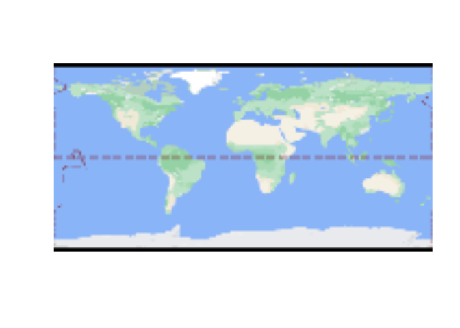
g <- gdalio_graphics(gmap_file)
plot(g)gdalio_set_default_grid(list(extent = c(-1, 1, -1, 1) * 1e6,
dimension = c(1024, 1024),
projection = "+proj=laea +lon_0=147 +lat_0=-42"))
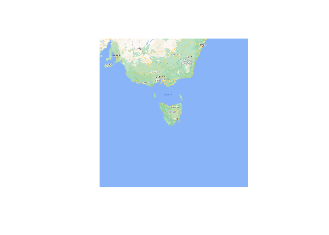
gmap <- gdalio_graphics(gmap_file)
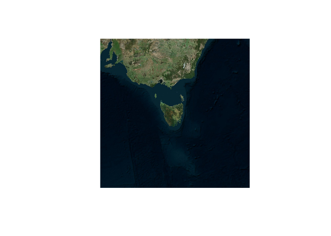
plot(gmap)vmap <- gdalio_graphics(server_file("wms_virtualearth"))
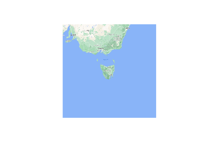
plot(vmap)temap <- gdalio_graphics(server_file("wms_googlemaps_terrainextra_tms"))
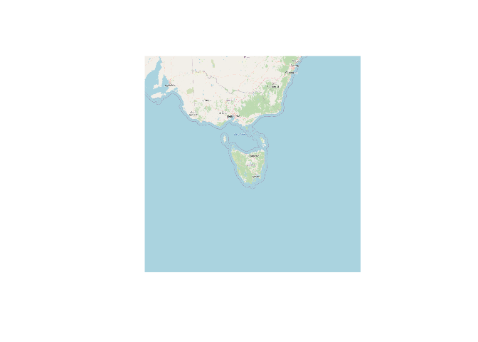
plot(temap)omap <- gdalio_graphics(server_file("wms_openstreetmap_tms"))
plot(omap)Something different.
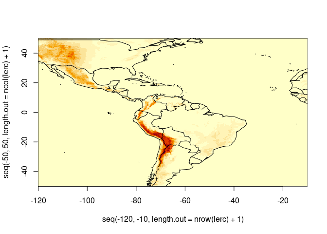
gdalio_set_default_grid(list(extent = c(-120, -10, -50, 50),
                            dimension = c(768, 512)/1.5,
                            projection = "+proj=longlat"))

lerc <-  gdalio_matrix(server_file("wms_arcgis_terrain_tms_lerc"), bands = 1)
image(seq(-120, -10, length.out = nrow(lerc) + 1),
          seq(-50, 50, length.out = ncol(lerc) + 1), lerc)
maps::map(add = TRUE)
Code of Conduct
Please note that the gdalwebsrv project is released with a Contributor Code of Conduct. By contributing to this project, you agree to abide by its terms.
