The module is not packaged, simply copy the scripts/functions you need to your working directory/notebook and import it locally.
Do check the requirements.txt (non-exhaustive) for the applicable versions of key packages.
A toolbox for geospatial related tasks, but only one tool exists so far. It is accompanied with this blog post.
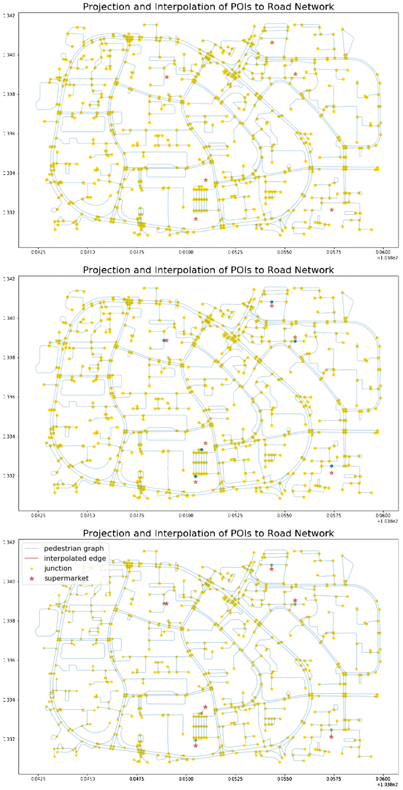
connect_poi(): integrate a set of POIs onto the road network based on the nearest projected point. Use case and example illustrated indemo_connect_poi.ipynb.
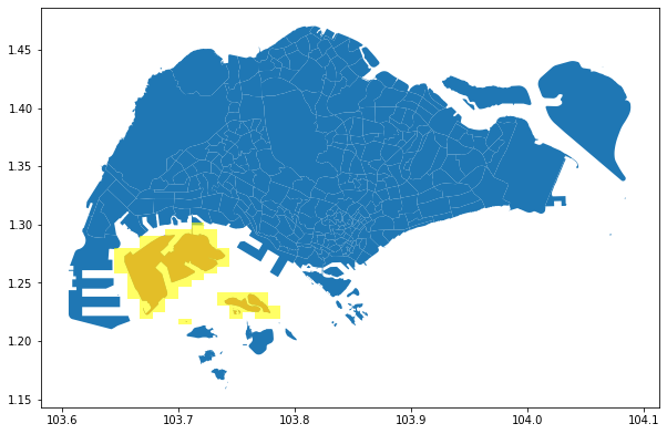
Get Geohash representation (fixed precision level) of a given polygon. A simple approach without optimization.
demo_polygon_to_geohash.ipynb: demo and functions shown inside the notebook.
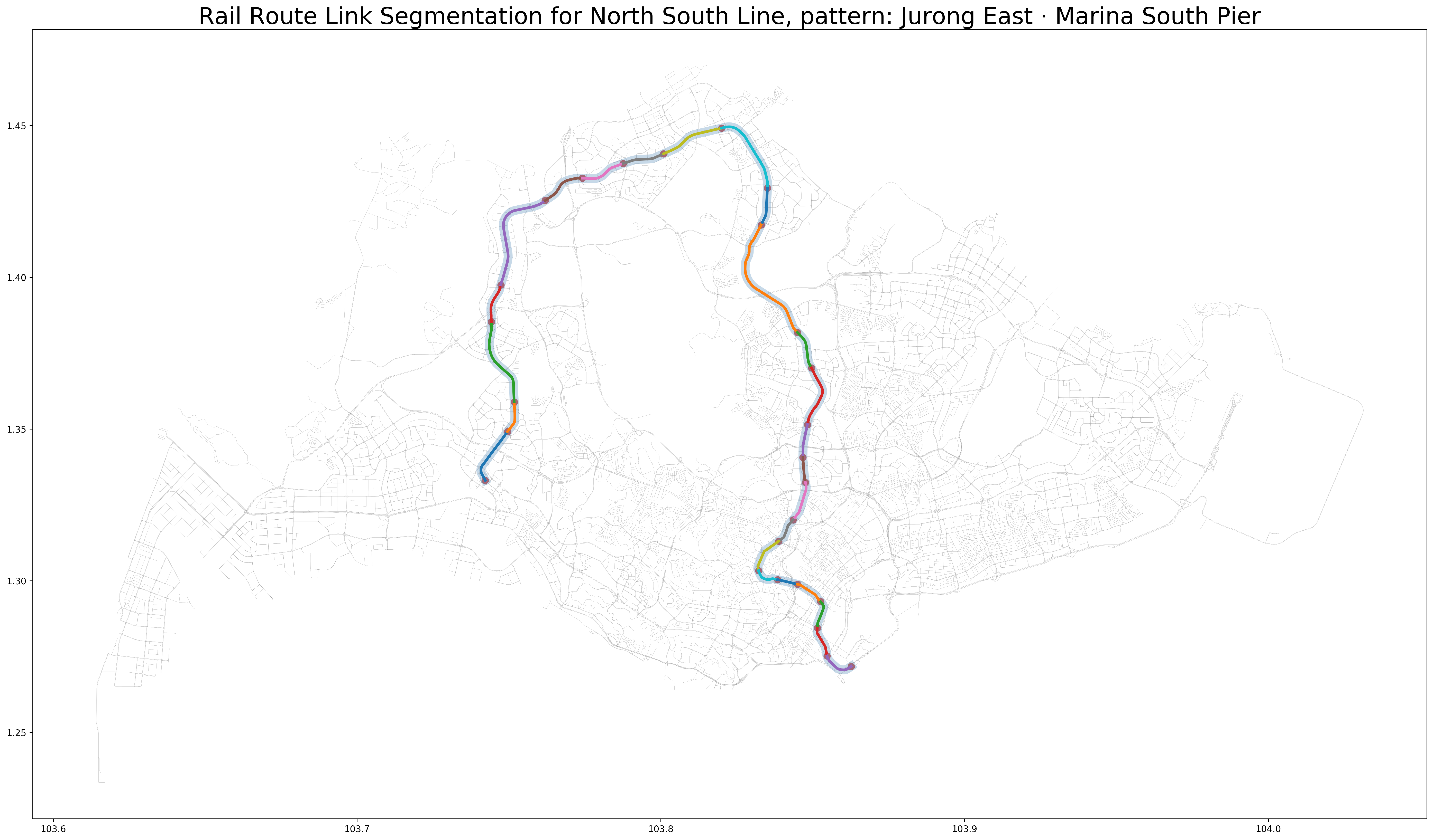
Download Singapore's rail network from RailRouter SG and segment the LineString by stations. This gives the user the shapes and (nearly) actual lengths of each rail link between consecutive stations of a route.


