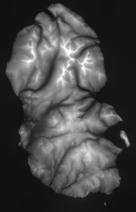
Given a geoTIFF (a TIFF with floating point height field in channel 0), build a printable model.
The model is composed of a rectangular box whose top face is the relief map made from the TIFF height field.
- python 3
- see requirements.txt for python deps
Note: this tool needs an available GeoTIFF file to convert.
- git clone this repo:
git clone $THIS_REPO cd $THIS_REPO- optional - make a virtual env for this repo:
python -m venv . - install deps:
pip install -r requirements.txt python tiff2stl.py $GEOTIFF.tif $OUTPUT.stl
At the top of tiff2stl.py are several useful config options:
- HSCALE - the amount to scale the model in X/Y (east/west, north/south) (defaults to 50 since I'm using OS Terrain-50 data to test)
- VSCALE - the amount to scale the model in Z (elevation)
- BOXHEIGHT - the dimensions of the box under the model_

