download GEOTIFF files from here: https://earthexplorer.usgs.gov/
or pull a folder of vancouver island here: https://drive.google.com/file/d/1_2pQtuB1SNa2lZYEqgYDIcwSGux4143R/view?usp=sharing
the files should be in a data folder, i.e. ./data/raw/*.tif
then run python ./fillnodata.py to fill the nodata values with the mean of the surrounding pixels
make install   # to install dependencies
pip install . # to install python packages- run
./main.pyto generate two stl files (golden hinde and vancouver island) - view STLs here: https://www.viewstl.com/
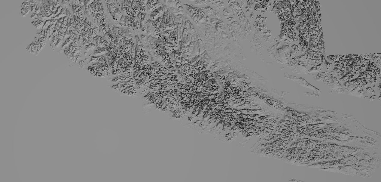
- it should render something like this:
 -
-
