Edonica MasterMap Importer
What does this do?
- Allows users to quickly import large Ordnance Survey vector datasets such as the Topography Layer and apply the recommended cartographic styling.
What problem is it solving?
- Ordance Ordnance Survey MasterMap comes in large zipped XML files
- They publish a defined styling of the data in XSLT
- UK organisations have difficulty processing the files and can burn lots of money and time.
- Engineers take shortcuts conclude that structured data is slow, and incur technical debt
How does do it?
- Streams content from zipped XML (GML) files
- Applies an XSLT transform to each element
- Streams content into a bulk load target (e.g. Postgres / PostGIS using NPGSQL
What does that look like?
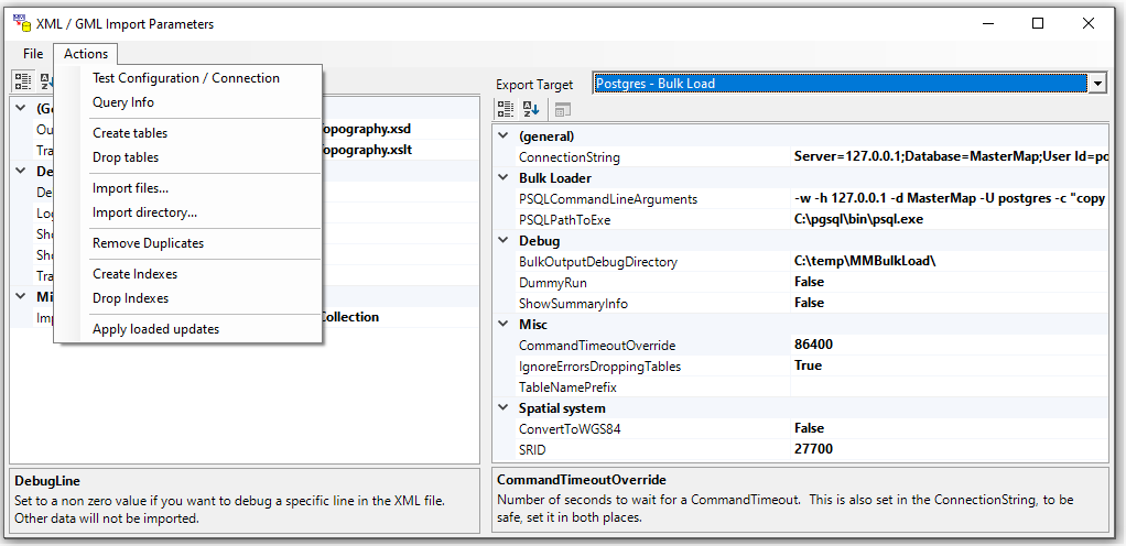
First load some data using the UI like this ...
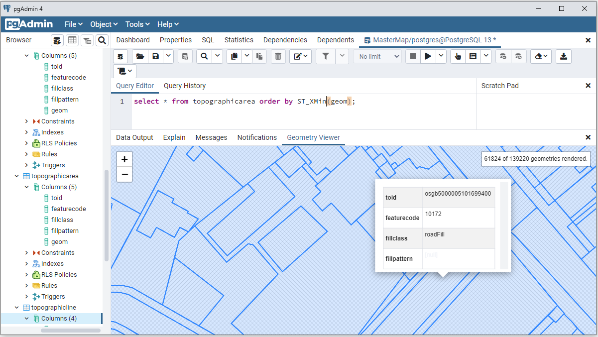
Then you can see the data including styling like this ...
Then you can configure a rendrer, for example with UMN MapServer and OpenLayers
Other Notes
This was originally hosted here and there are more notes in HTML files in the project.
Change log May 30 2021
Migrated to .Net Core 5
- Removed references to WPF (which we were using for Point and Rect)
- Restructured file layout
- Added automated builds and ZIPed releases in GitHub to make contributions safer.
Change log May 25 2021
Migrated to .Net 472 / NuGet / High DPI and tested with:
- Visual Studio 2019 (16.9.6)
- SQL Server 2019 Developer (some faff with native DLLs)
- PostGres 13 (13.3 running locally)
All still works with geometry visible in PGAdmin and SQL Server Management Console.


