This project generates summaries from WorldPop rasters for various regions. WorldPop at 100x100m resolution is distribted in per-country raster format. Together these rasters form a uniform layer and join seamlessly.
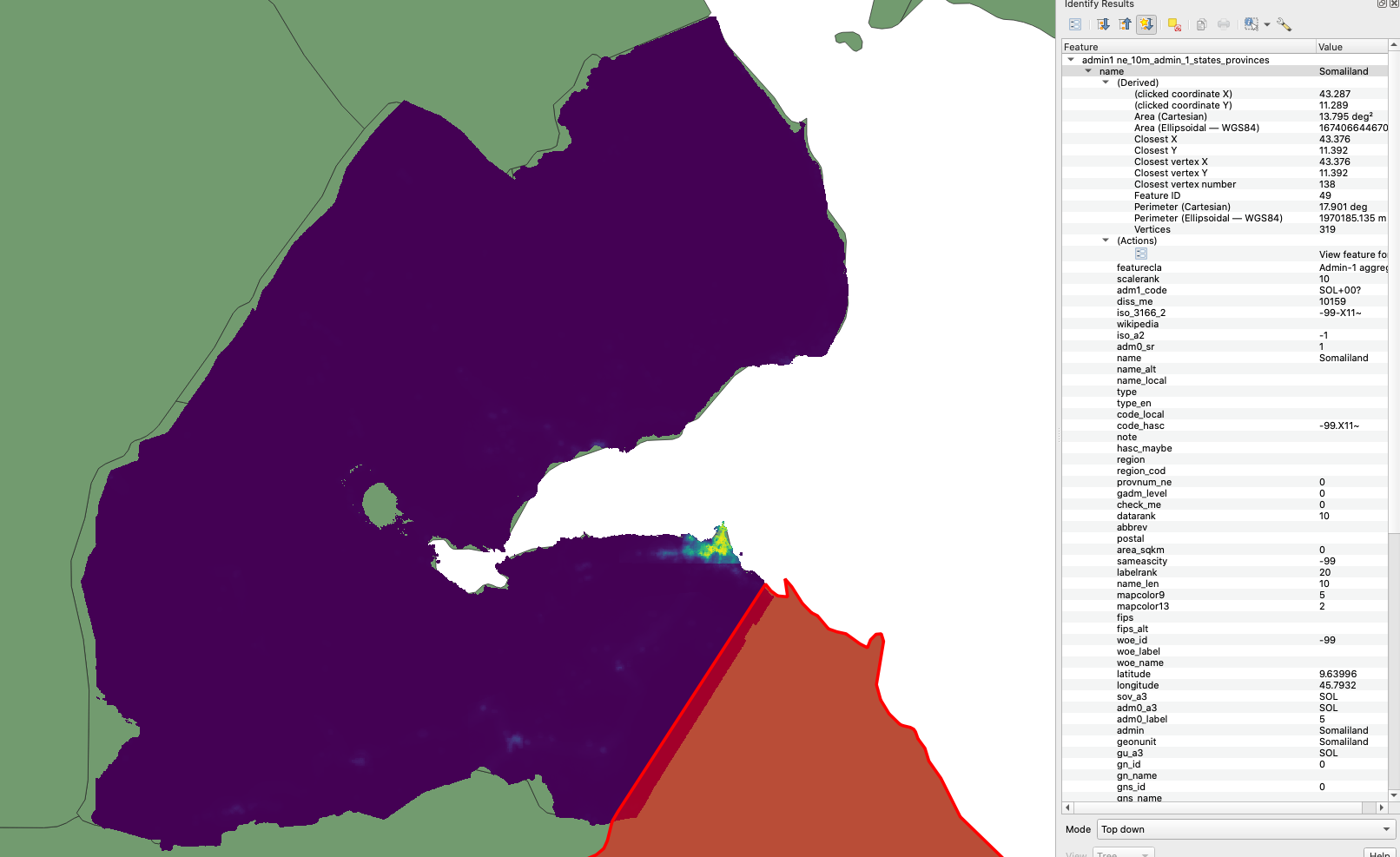
However, it is important to realise that summary regions may not line up with WorldPop country borders. Consider WorldPop Djibouti raster vs surrounding Admin1 regions from NaturalEarth:
In order to avoid excluding population where the region does not cover the country this project tiles all of WorldPop rasters together. For the example above the Natural Earth Admin1 region for Djibouti will include counts from Eritrea and Etheopia raster for the slivers to the left.
For testing
sbt:geotrellis-worldpop> test:runMain geotrellis.jobs.admin.Admin1PopulationApp -c DJI --output /tmp/dji-pop.csv --partitions 4
For EMR
sbt:geotrellis-worldpop> sparkCreateCluster
sbt:geotrellis-worldpop> sparkSubmitMain geotrellis.jobs.admin.Admin1PopulationApp --output s3://geotrellis-test/eac/ne-pop-2020-v1.csv --partitions 2000
# wait for completion ...
sbt:geotrellis-worldpop> sparkTerminateCluster
For testing
sbt:geotrellis-worldpop> test:runMain geotrellis.jobs.ihme.IhmePopulationApp -c DJI --output /tmp/dji-pop.csv --partitions 4
For EMR
sbt:geotrellis-worldpop> sparkCreateCluster
sbt:geotrellis-worldpop> sparkSubmitMain geotrellis.jobs.ihme.IhmePopulationApp --output s3://geotrellis-test/eac/ihme-pop-2020-v1.csv --partitions 2000
# wait for completion ...
sbt:geotrellis-worldpop> sparkTerminateCluster
