
Manually identifying and mapping plant species distributions is time-consuming and consequently expensive task. Besides, to be able to map changes in vegetation, the identification needs to be repeated in time. Automated detection of plant species using remote sensing data can facilitate the process.
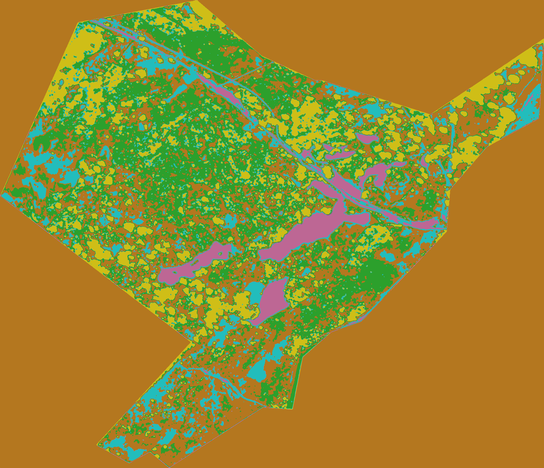
Here, we present a method of comparison between unsupervised machine learning and deep learning clustering techniques.
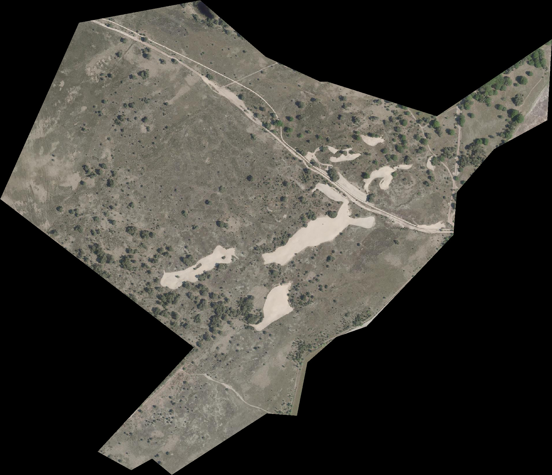
Our subject study area is a nature conservation area in the south of the Netherelands. Within this area, our stakeholders Ecogoggle are committed to research on behalf of Staatsbosbeheer (the Dutch state forest management). However Ecogoggle wish to create a methodology which can be used in mapping previously unseen and unvisited areas. Thus we are supporting this work with a comparison of leading clustering methods in the fields of machine learning and deep learning.
- test the models for different areas with different land uses and vegetation such as forests or beach areas.
- test more different kinds of models such as regular K-means.
Distributed under the MIT License. See LICENSE.txt for more information.
Luc Dael, Zillah Calle, Leendert Borgers