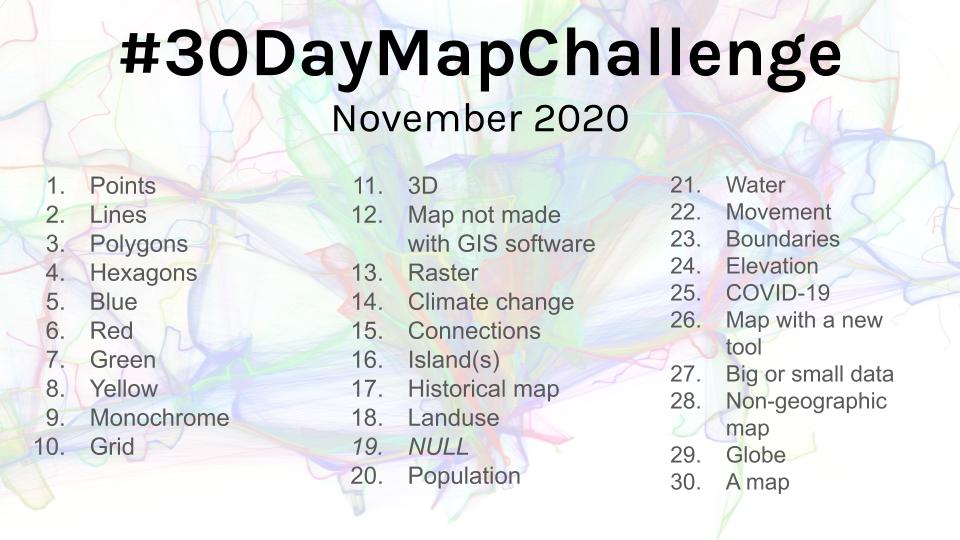
A list of maps created for #30DayMapChallenge using #rspatial. To learn more about #30DayMapChallenge visit https://github.com/tjukanovt/30DayMapChallenge.
Anyone is welcome to contribute. Feel free to create a pull request with a link to your map. Bonus points for related R code!
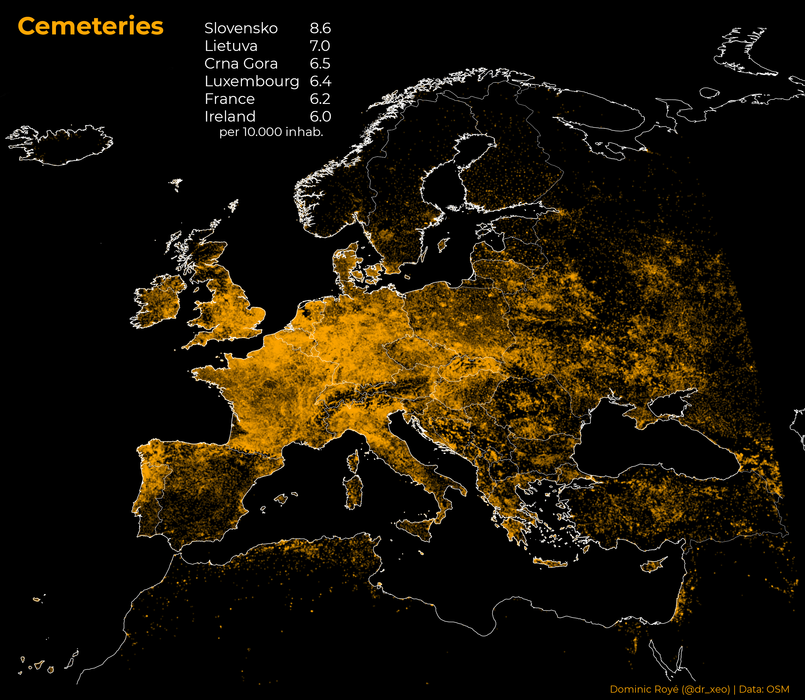
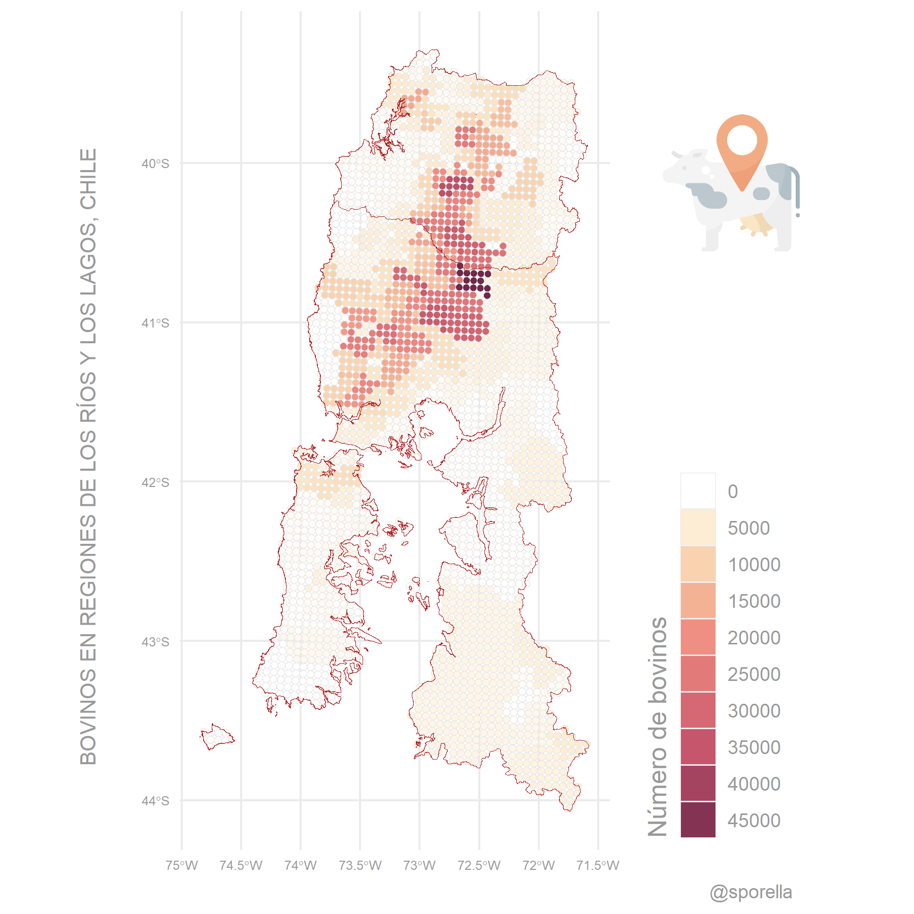
2020-11-01 - Points - A map with points
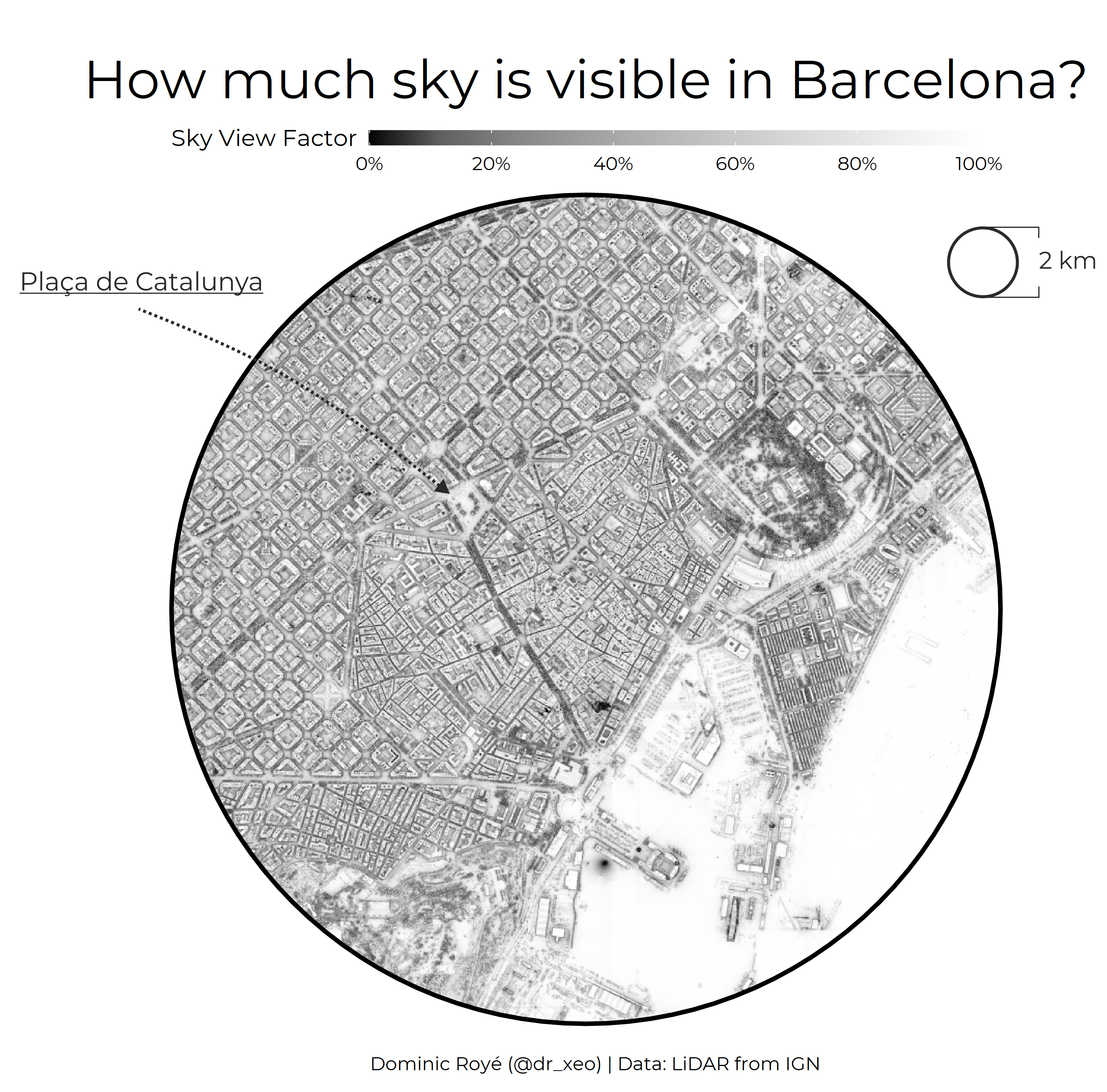
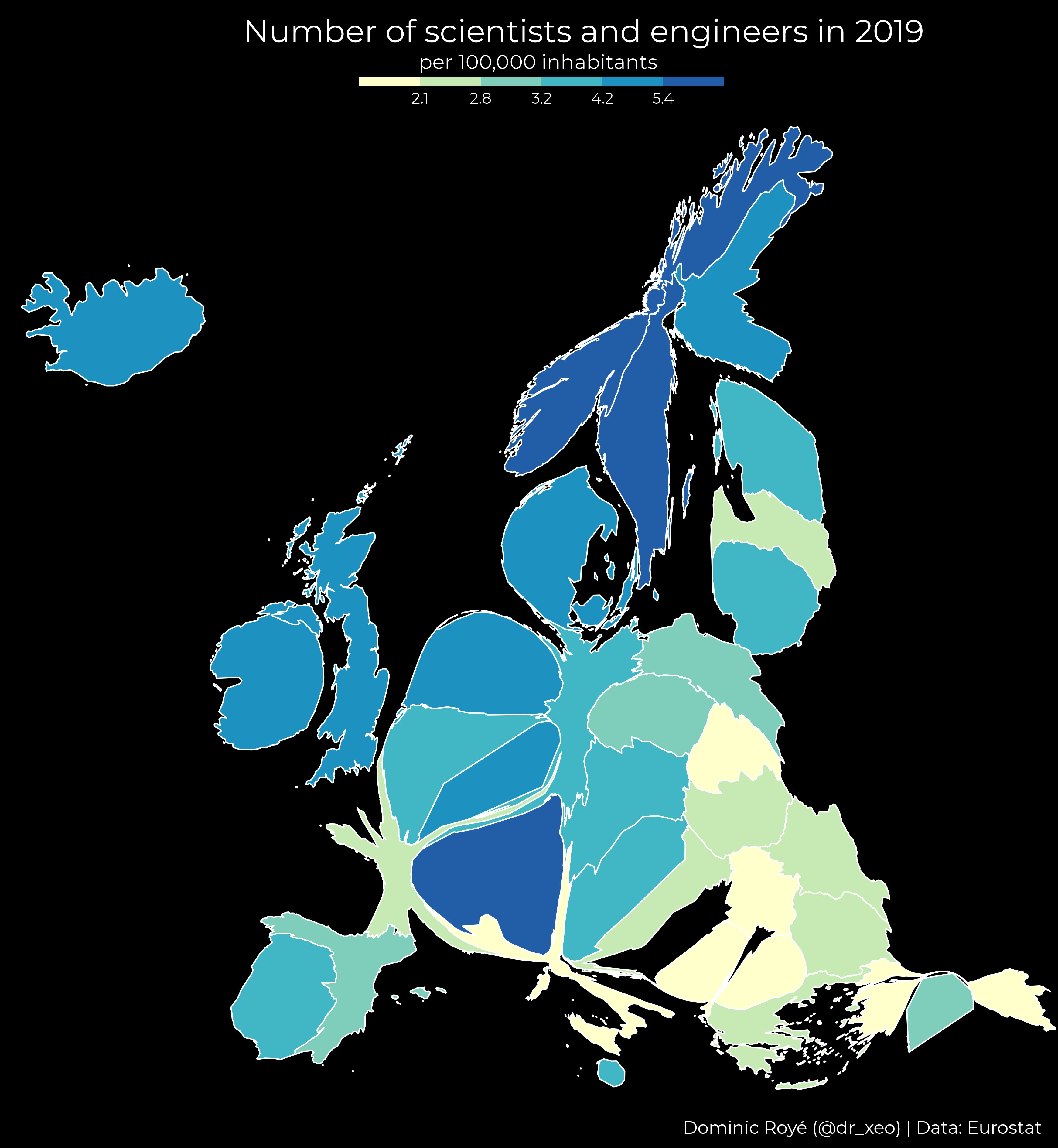
- dr_xeo - link
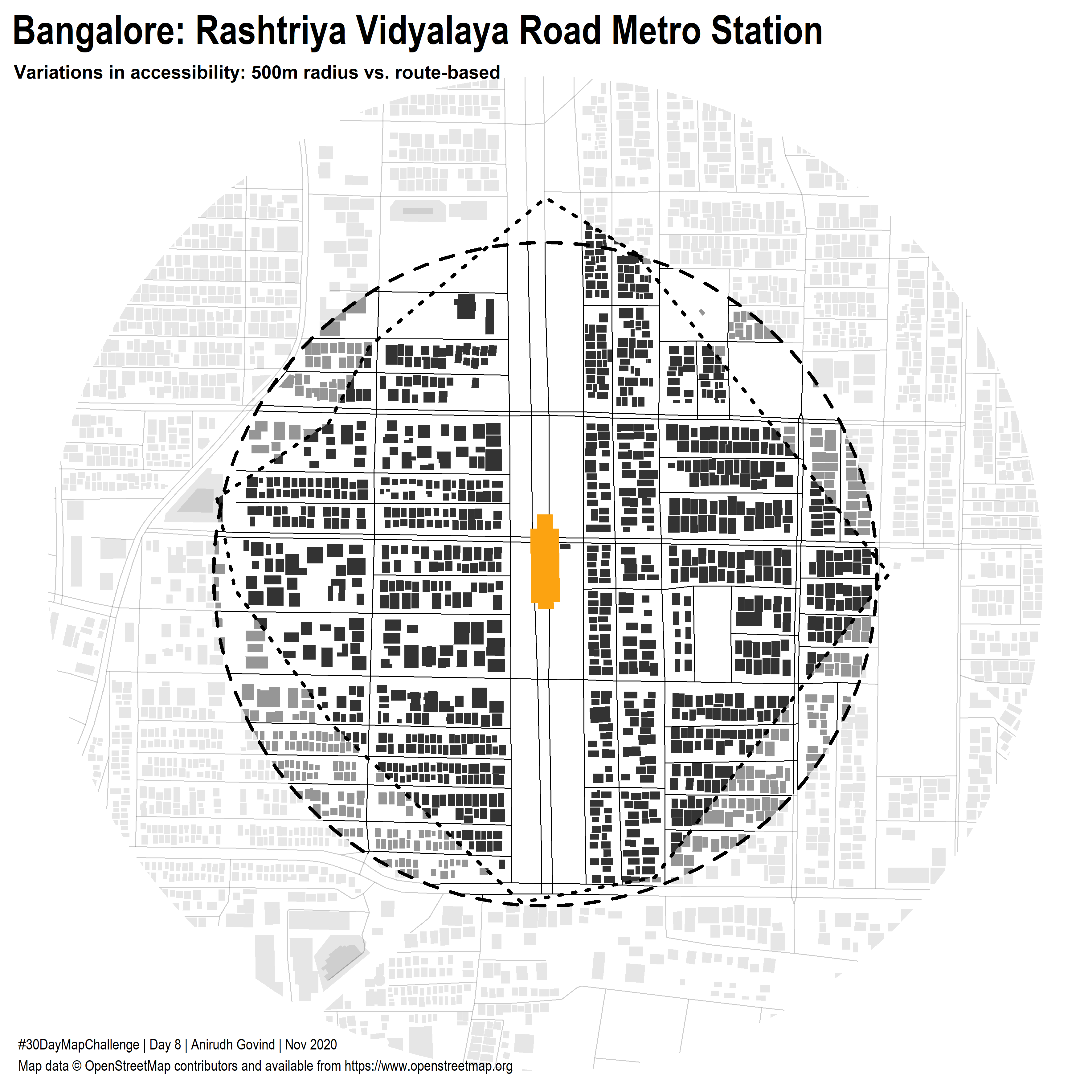
- _anirudhgovind - link
- balt_ti - link
- giurugg - link
- geodatascience - link - code
- afrimapr - link
- mirzacengic - link
- dickoah - link
- jmatics - link
- nurussadad - link
- Super_Explorer - link
- valen_ibiza - link
- rgeomatic - link
- topographos2 - link
- sporella - link - code
- bus_jus - link
- JakubPacocha - link
- lxndrkp - link
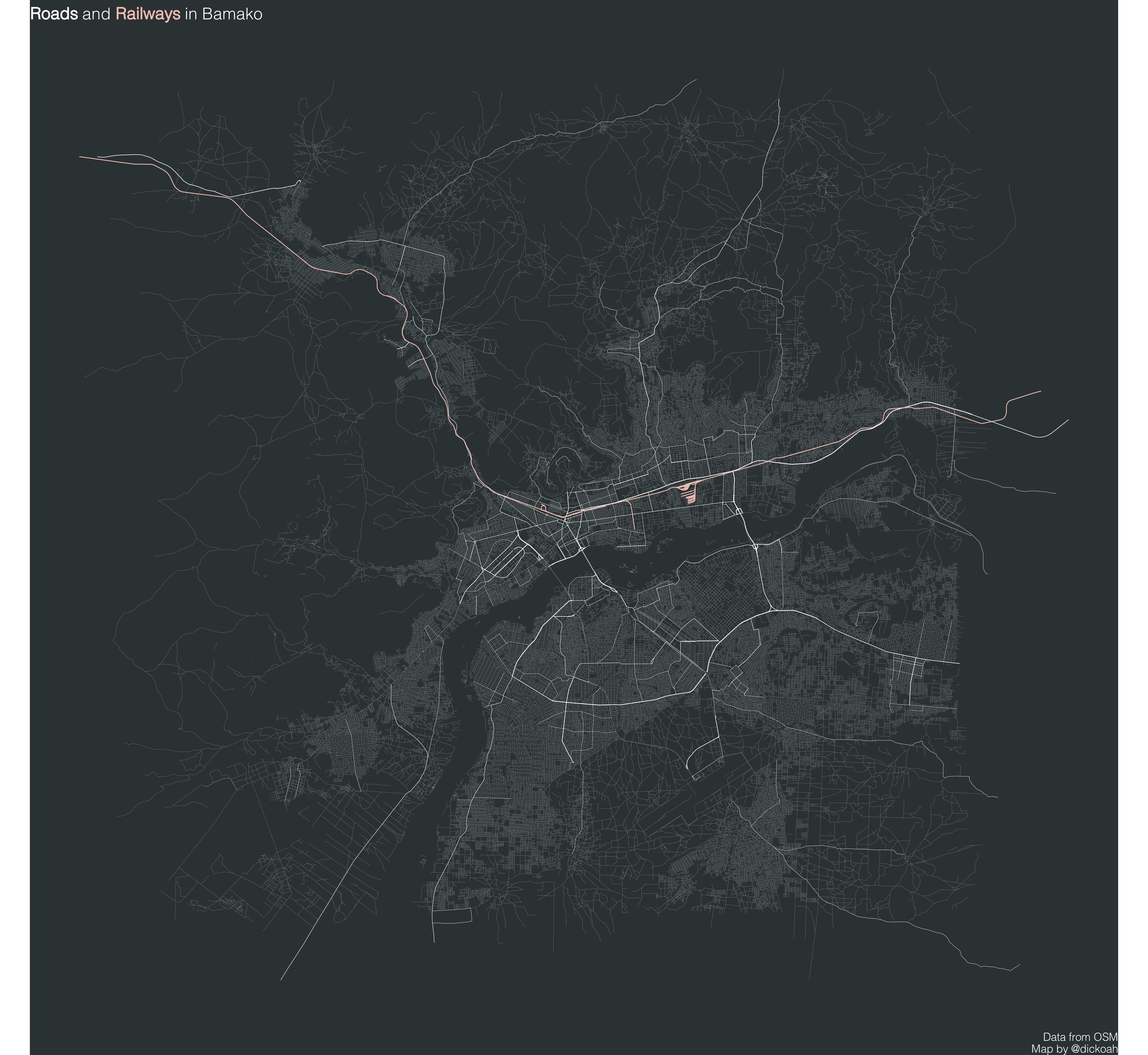
2020-11-02 - Lines - A map with lines
- dickoah - link
- valen_ibiza - link
- nurussadad - link - code
- dr_xeo - link
- balt_ti - link
- rgeomatic - link
- lemuscanovas - link
- geodatascience - link
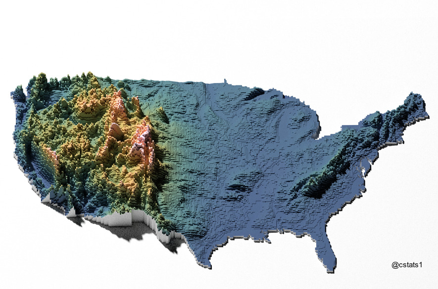
- cstats1 - link
- jmatics - link
- mirzacengic - link
- sporella - link - code
- Super_Explorer - link
- chinmay_deval - link
- topographos2 - link
- lxndrkp - link
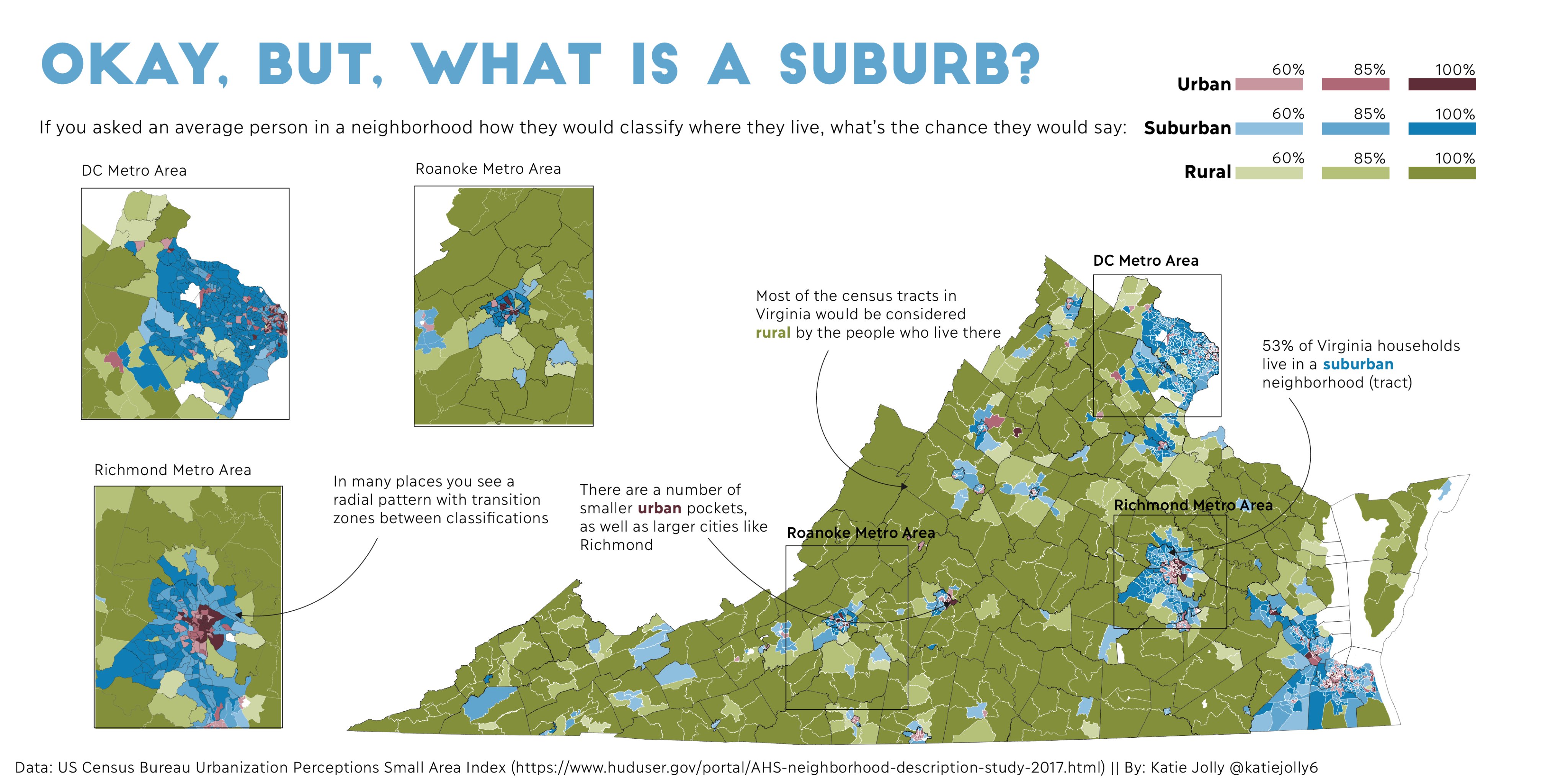
2020-11-03 - Polygons - A map with polygons
- topographos2 - link
- nurussadad - link - code
- dr_xeo - link - code
- dickoah - link
- valen_ibiza - link
- rgeomatic - link - code
- afrimapr - link
- jmatics - link
- JohannesRahlf - link
- katiejolly6 - link - code
- sporella - link - code
- Super_Explorer - link
- cstats1 - link
- chinmay_deval - link
- giurugg - link
- lxndrkp - link
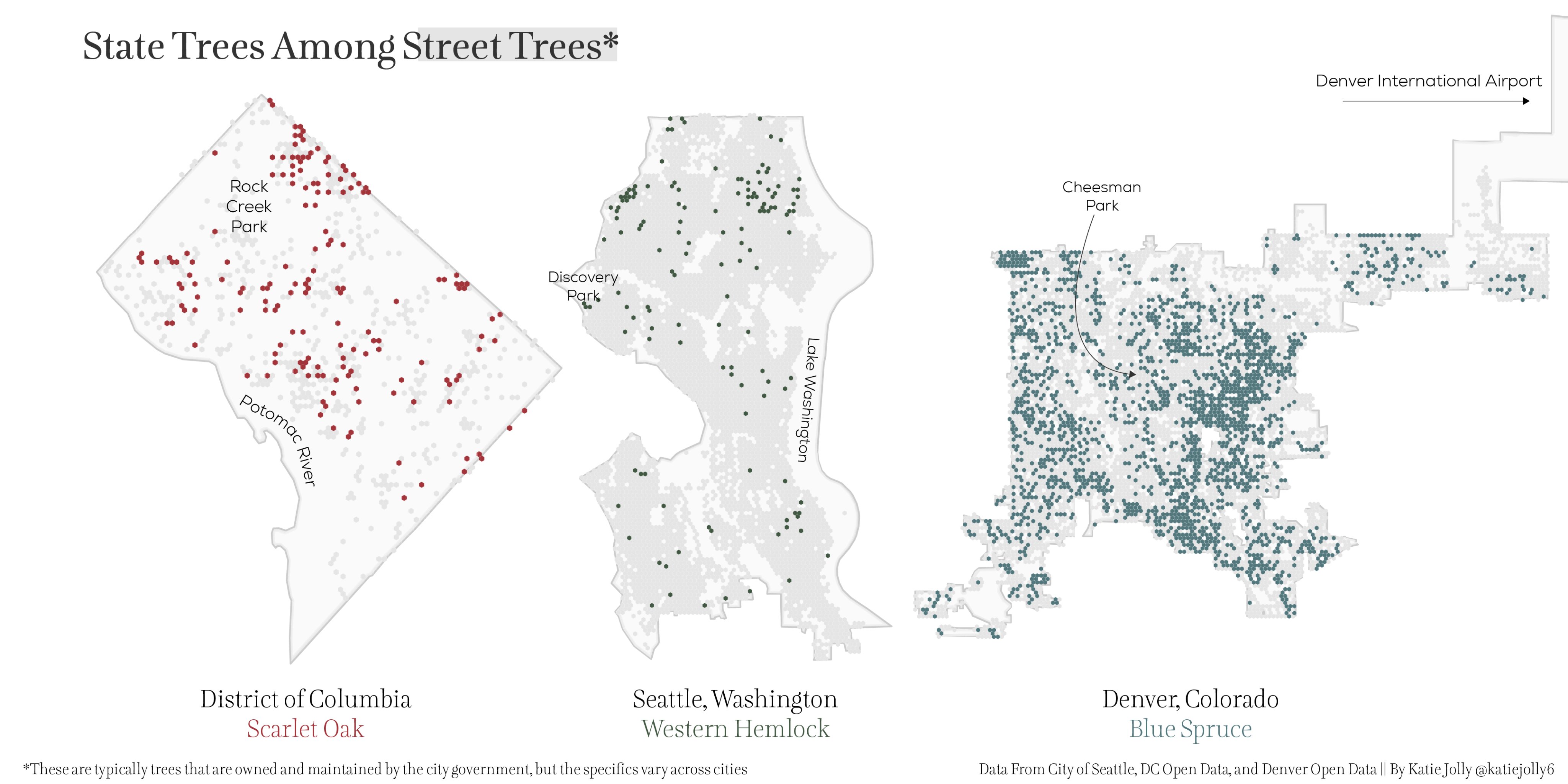
2020-11-04 - Hexagons - A map with hexagons
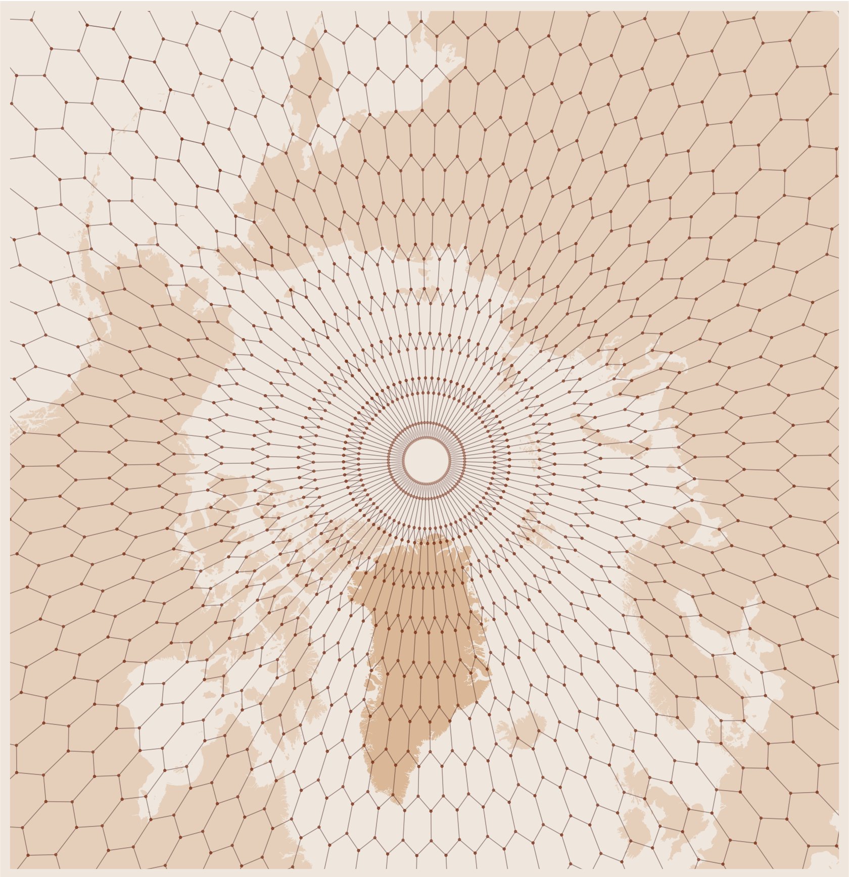
- katiejolly6 - link - code
- dickoah - link
- rgeomatic - link - code
- bus_jus - link
- cstats1 - link
- sporella - link - code
- FedericoTallis - code
- LuizGalizia - code
- dr_xeo - link
- footloose_nil - link
- afrimapr - link
- topographos2 - link
- jmatics - link
- balt_ti - link
- _anirudhgovind - link
- geomigr - link
- JakubPacocha - link
- Super_Explorer - link
- lxndrkp - link
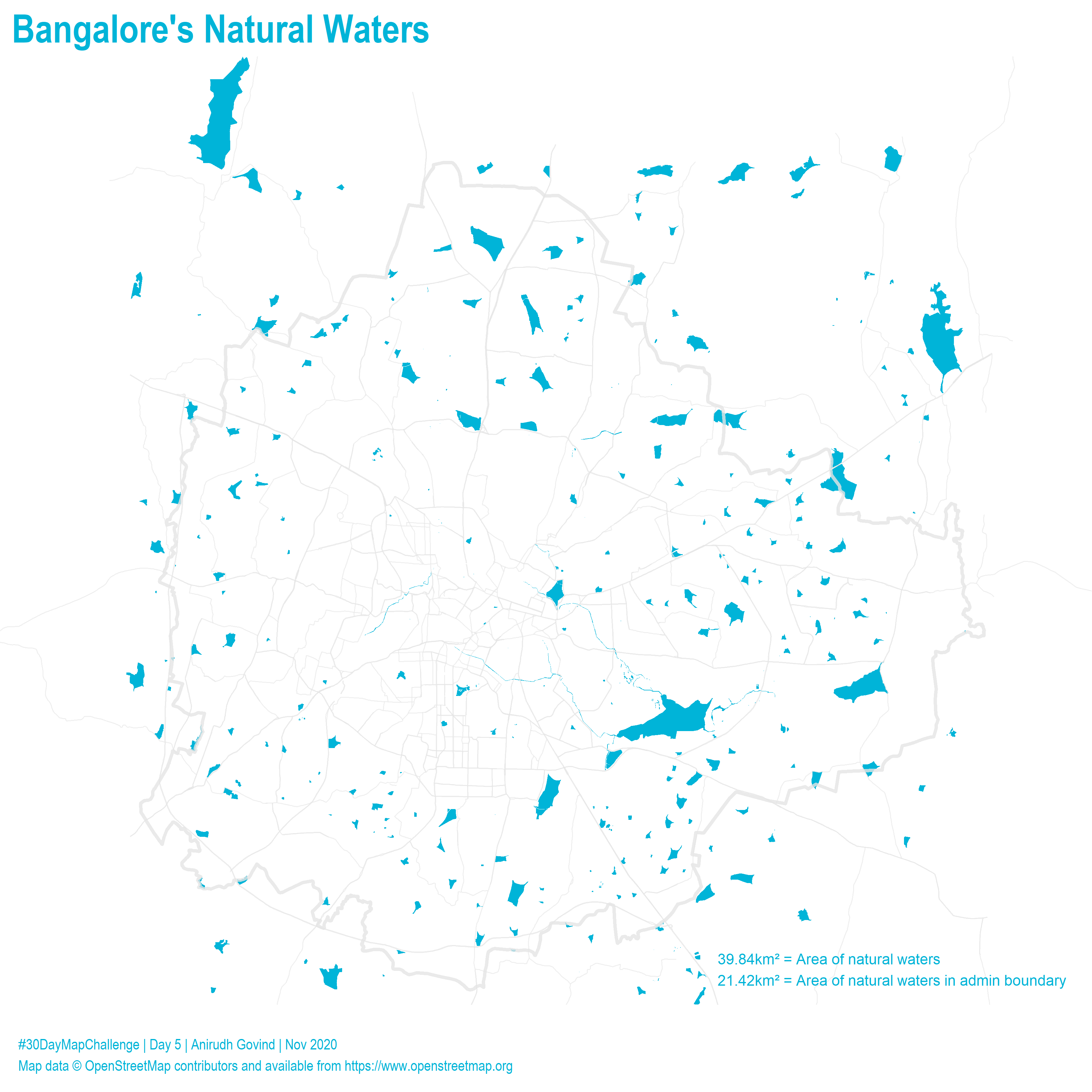
2020-11-05 - Blue - A map with blue colour or a map about something blue
- _anirudhgovind - link
- dickoah - link
- Super_Explorer - link
- sporella - link - code
- balt_ti - link
- rgeomatic - link
- footloose_nil - link
- joeroe90 - link
- jmatics - link
- katiejolly6 - link
- chinmay_deval - link
- bus_jus - link
- dr_xeo - link
- topographos2 - link
2020-11-06 - Red - A map with red colour or a map about something red
- sporella - link - code
- dickoah - link
- rgeomatic - link
- balt_ti - link
- footloose_nil - link
- jmatics - link
- cstats1 - link
- bus_jus - link
- Super_Explorer - link
- topographos2 - link
- chinmay_deval - link
- dr_xeo - link
- lxndrkp - link
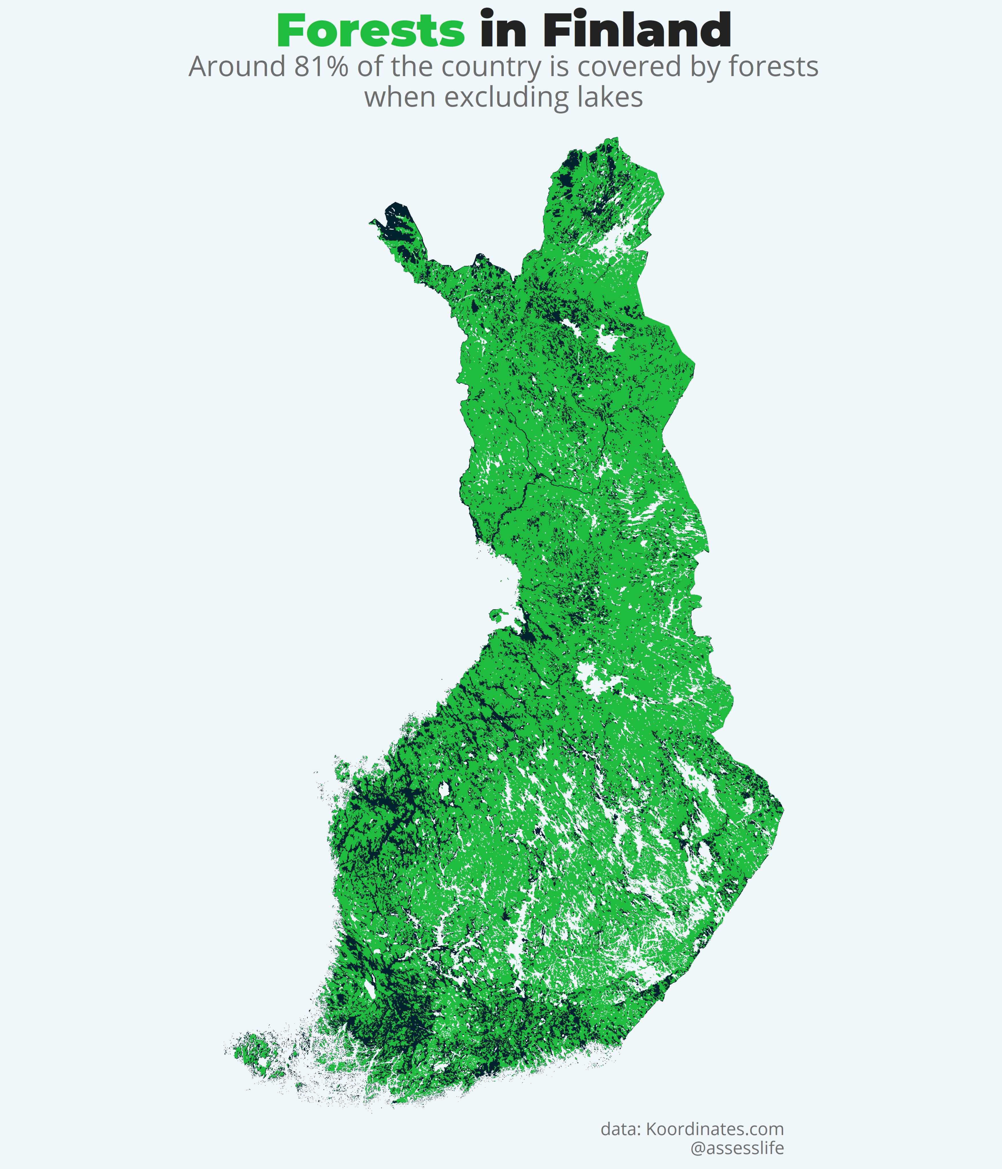
2020-11-07 - Green - A map with green colour or a map about something green
- assesslife - link
- balt_ti - link
- footloose_nil - link
- _anirudhgovind - link
- dickoah - link
- dr_xeo - link
- jmatics - link
- topographos2 - link
- sporella - link
- chinmay_deval - link
- cstats1 - link
- JonasStillhard - link
2020-11-08 - Yellow - A map with yellow colour or a map about something yellow
- _anirudhgovind - link
- topographos2 - link
- balt_ti - link
- dickoah - link
- footloose_nil - link
- _skuethe - link
- dr_xeo - link
- jmatics - link
- sporella - link
- Super_Explorer - link
- cstats1 - link
- chinmay_deval - link
- JonasStillhard - link
- lxndrkp - link
2020-11-09 - Monochrome - A monochromic image is composed of one color (or values of one color). So for example black and white maps are valid here. See some inspiration from the great monochrome mapping competition (although those masterpieces took a bit more than a day to make, probably).
- lxndrkp - link
- balt_ti - link
- assesslife - link
- BjnNowak - link
- dickoah - link
- LuizGalizia - link
- JonasStillhard - link
- footloose_nil - link
- _skuethe - link
- jmatics - link
- _anirudhgovind - link
- sporella - link
- chinmay_deval - link
- katiejolly6 - link
2020-11-19 - Grid - Whether you call it a grid or a fishnet, the idea is to visualize something in a grid form
- emilmalta - link
- chinmay_deval - link
- Super_Explorer - link
- JonasStillhard - link
- GrrdJul - link
- dr_xeo - link
- footloose_nil - link
- jmatics - link
- _skuethe - link
- _anirudhgovind - link
- BjnNowak - link
- balt_ti - link
- lxndrkp - link
- darwinanddavis - link
- sporella - link
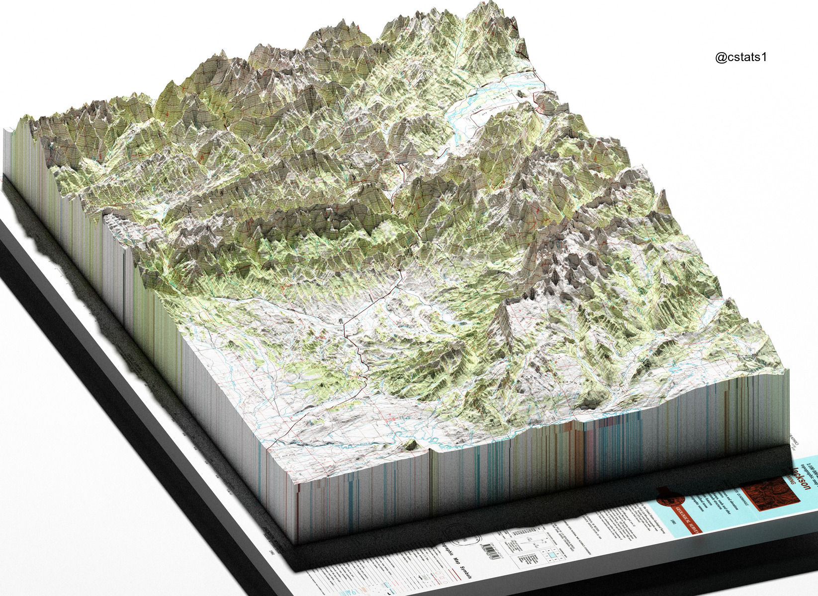
2020-11-11 - 3D - The magnificent third dimension! Visualize something in 3D
- cstats1 - link
- LuizGalizia - link
- darwinanddavis - link
- Super_Explorer - link
- PratapVardhan - link
- emilmalta - link
- dickoah - link
- sporella - link
- _anirudhgovind - link
- footloose_nil - link
- _skuethe - link
- TheRealJimShady - link
- topographos2 - link
- JonasStillhard - link
- geomigr - link
- dr_xeo - link
- balt_ti - link
- BjnNowak - link
2020-11-12 - Map not made with GIS software - Can be anything from hand-drawn to a map made with excel or ASCII. So get out your pen and paper or go crazy
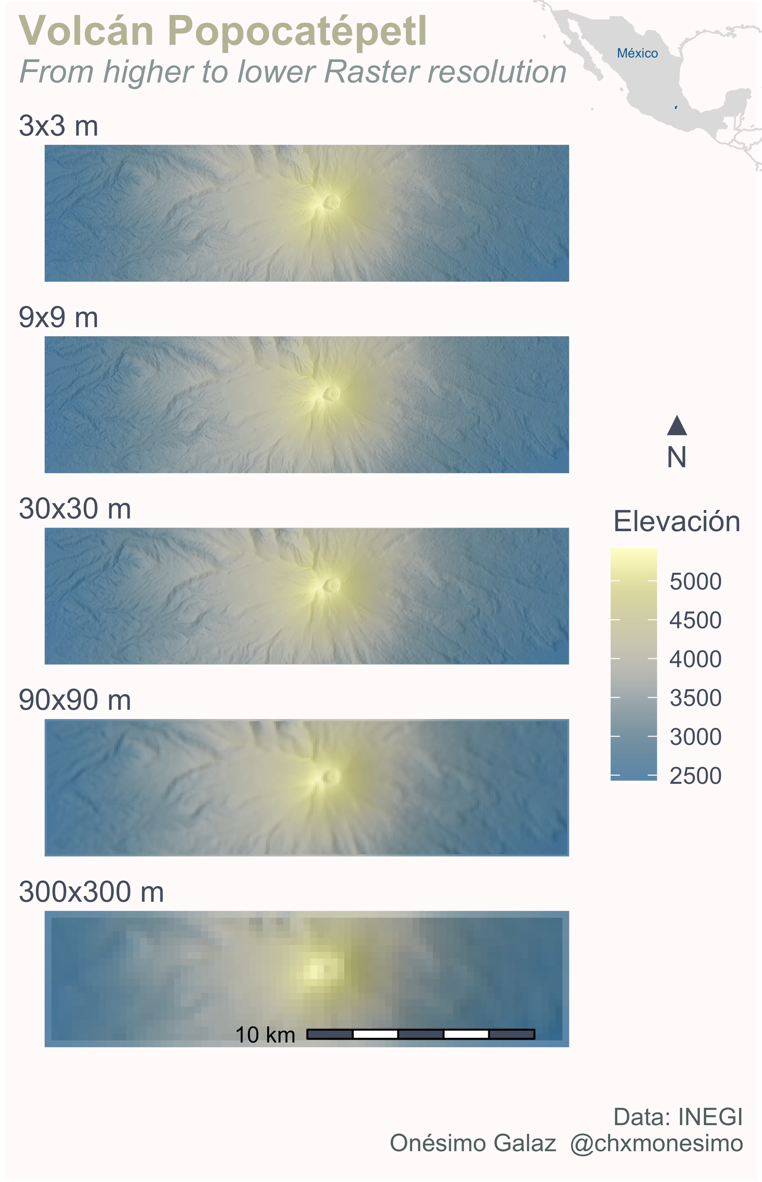
2020-11-13 - Raster - Nothing stops you from doing almost all of the maps with raster data. But this day is dedicated to those lovely pixels
- chxmonesimo - link
- dr_xeo - link
- balt_ti - link
- JonasStillhard - link
- TheRealJimShady - link
- _anirudhgovind - link
- footloose_nil - link
- _skuethe - link
- sporella - link
- JuvenalCamposF - link
- ldcgodoy - link
- dickoah - link
- cstats1 - link
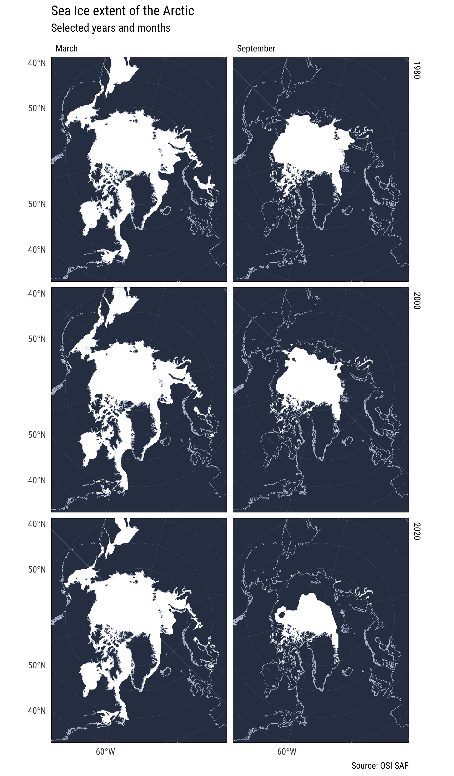
2020-11-14 - Climate change - Climate change is one of the biggest challenges of our time and the spatial community has an important role to communicate this
- emilmalta - link
- dickoah - link
- _skuethe - link
- footloose_nil - link
- dr_xeo - link
- sporella - link
- _anirudhgovind - link
- Kenneth_KHW - link
- balt_ti - link
- JanPhilippKolb - link
- darwinanddavis - link
- cstats1 - link
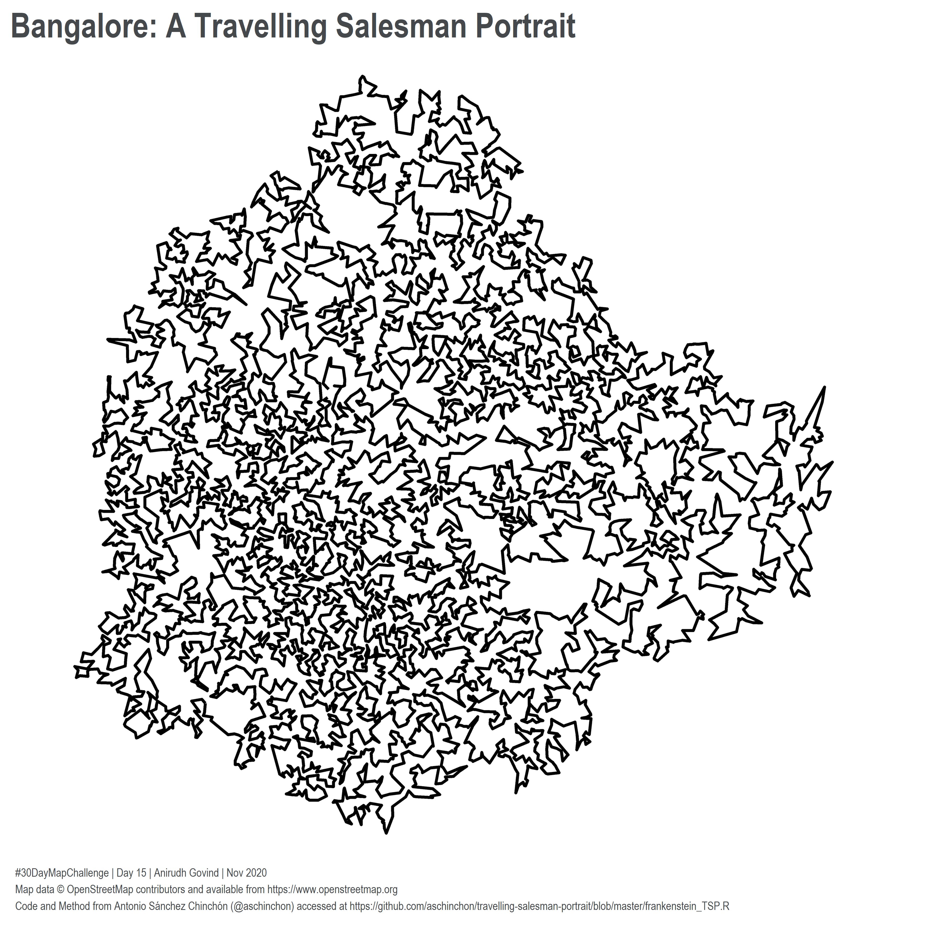
2020-11-15 - Connections - Connections between something
- _anirudhgovind - link
- balt_ti - link
- dr_xeo - link
- JonasStillhard - link
- dickoah - link
- footloose_nil - link
- JanPhilippKolb - link
- sporella - link
- PratapVardhan - link
- cstats1 - link
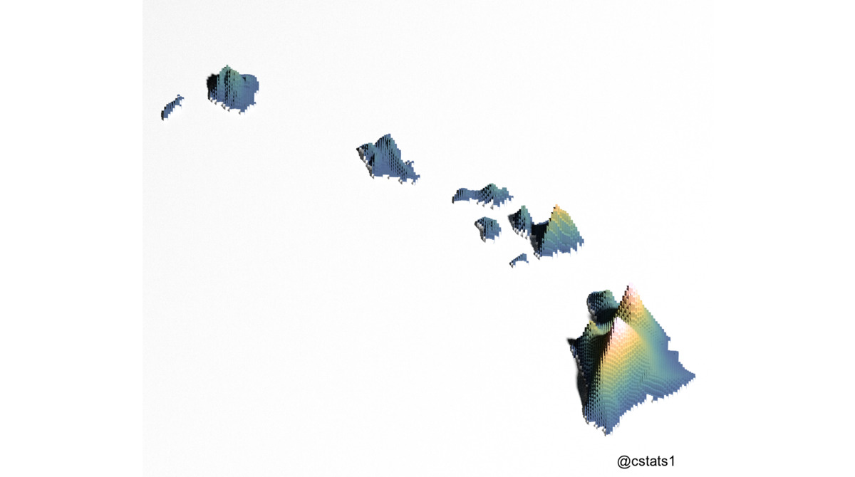
2020-11-16 - Island(s) - Islands tend to look quite beautiful on maps. Could be also something else than physical islands
- cstats1 - link
- balt_ti - link
- PratapVardhan - link
- geodatascience - link
- JonasStillhard - link
- JanPhilippKolb - link
- _anirudhgovind - link
- footloose_nil - link
- sporella - link
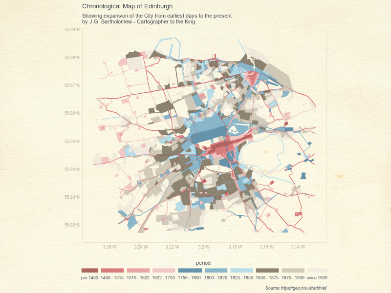
2020-11-17 - Historical map - Historical data, historical map style or something else
- cstats1 - link
- balt_ti - link
- BjnNowak - link
- JonasStillhard - link
- giurugg - link
- _anirudhgovind - link
- footloose_nil - link
- JanPhilippKolb - link
- dickoah - link
- cstats1 - link
- sporella - link
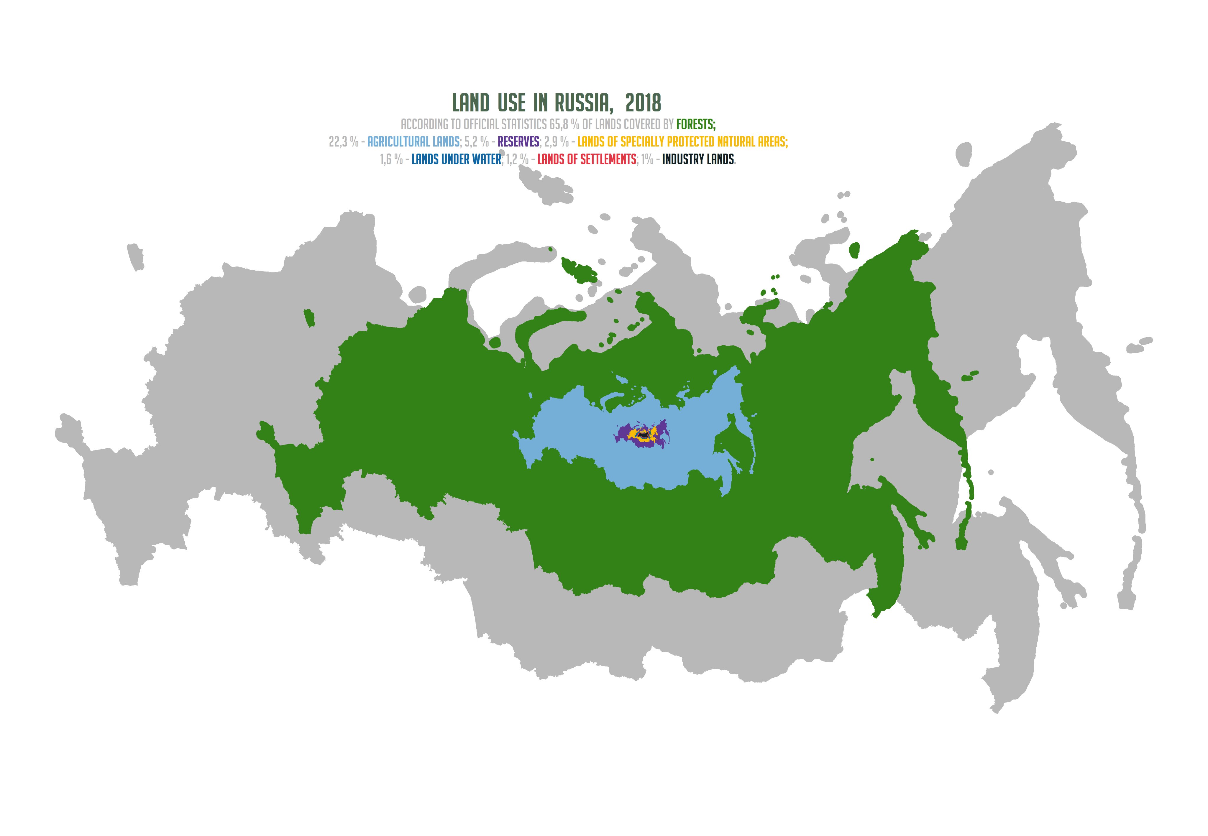
2020-11-18 - Landuse - How land is used, within a city, region, country or continent? How has it changed?
- balt_ti - link
- BjnNowak - link
- BjnNowak - link
- geodatascience - link
- dr_xeo - link
- _anirudhgovind - link
- footloose_nil - link
- JanPhilippKolb - link
- sporella - link
- JonasStillhard - link
- dickoah - link
- Shel_Kariuki - link
2020-11-19 - NULL - Missing data. We all hate that, right? How to map something that is missing?
- cstats1 - link
- JonasStillhard - link
- _anirudhgovind - link
- JanPhilippKolb - link
- sporella - link
- vanhorssenpeter - link
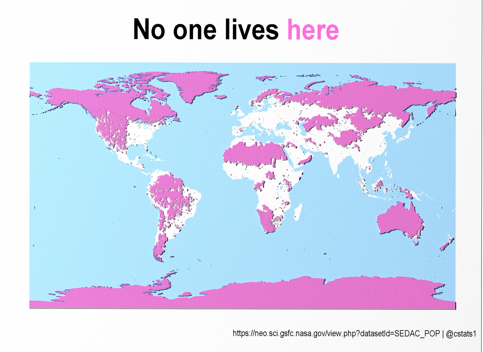
2020-11-20 - Population - That is you and me. A classic theme for thematic maps
- katiejolly6 - link
- balt_ti - link
- BjnNowak - link
- JonasStillhard - link
- Elio_Javi - link
- _anirudhgovind - link
- cstats1 - link
- footloose_nil - link
- dickoah - link
- emilmalta - link
- sporella - link
- PratapVardhan - link
- JanPhilippKolb - link
- darwinanddavis - link
- lxndrkp - link
2020-11-21 - Water - Oceans, lakes, rivers or something completely different
- cstats1 - link
- balt_ti - link
- JonasStillhard - link
- footloose_nil - link
- _anirudhgovind - link
- JanPhilippKolb - link
- dr_xeo - link
- dickoah - link
- sporella - link
- Shel_Kariuki - link
- assesslife - link
2020-11-22 - Movement - Visualizing movement can be done with a static map or with an animation
- balt_ti - link
- dr_xeo - link
- LuizGalizia - link
- cstats1 - link
- _anirudhgovind - link
- JonasStillhard - link
- footloose_nil - link
- dickoah - link
- emilmalta - link
- JanPhilippKolb - link
- sporella - link
- Mathieu Basille - link1 / link2
- lxndrkp - link
2020-11-23 - Boundaries - Boundaries are all around us. Some of them are visible and some of them are in our heads
- cstats1 - link
- balt_ti - link
- JonasStillhard - link
- footloose_nil - link
- dr_xeo - link
- JanPhilippKolb - link
- dickoah - link
- sporella - link
- katiejolly6 - link
- emilmalta - link
- darwinanddavis - link
2020-11-24 - Elevation - Sweet hillshades, beautiful contours, high mountains or low valleys
- dickoah - link
- JanPhilippKolb - link
- PratapVardhan - link
- emilmalta - link
- balt_ti - link
- assesslife - link
- neocartocnrs - link
- JonasStillhard - link
- _anirudhgovind - link
- footloose_nil - link
- cstats1 - link
- vivalosburros - link
- emilmalta - link
- dr_xeo - link
- andymacmeister1 - link
- sporella - link
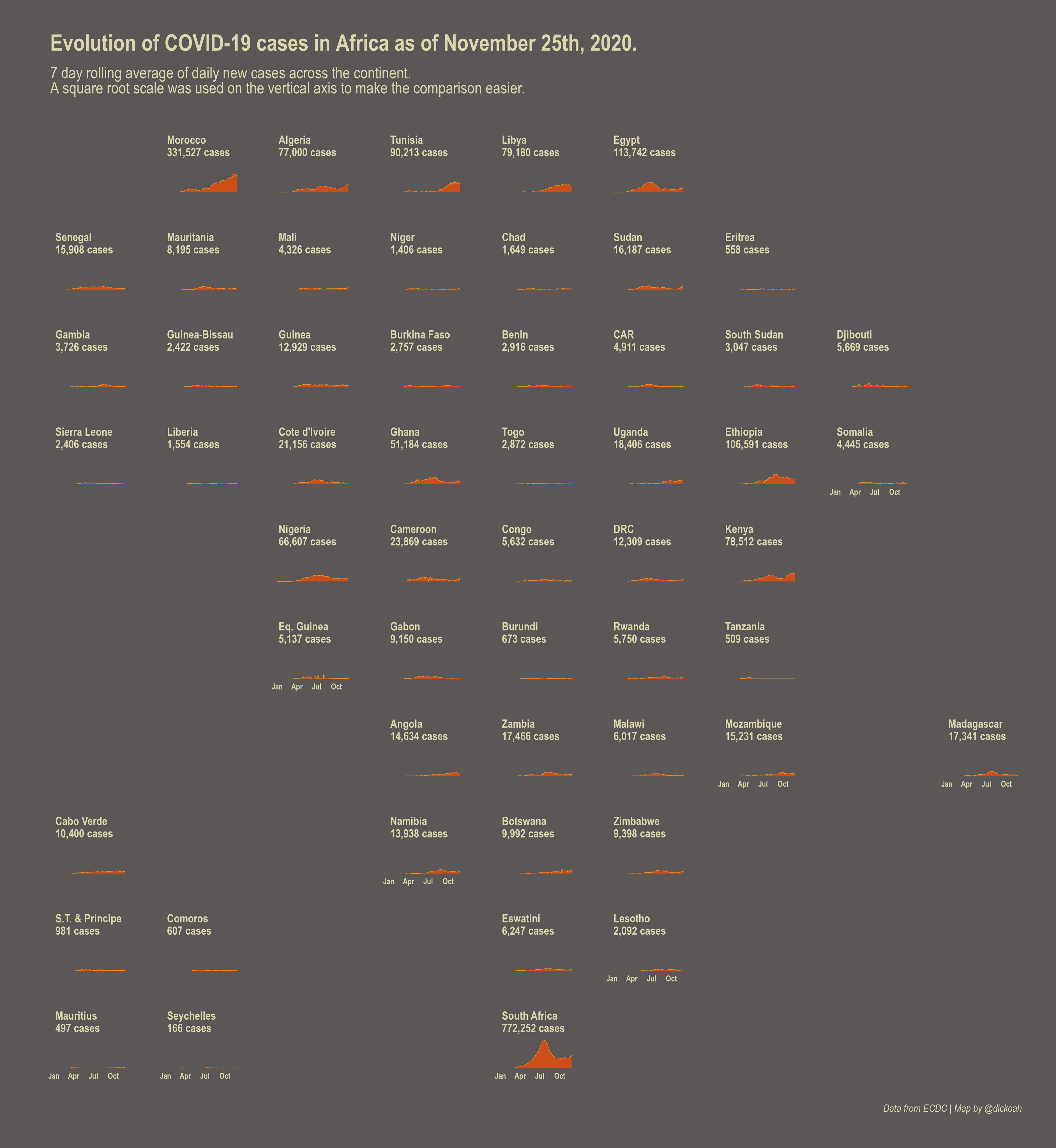
2020-11-25 - COVID-19 - It’s 2020 and I’m just as fed up with COVID-19 as you are, but just can’t skip this theme this year. Check this blog post for some tips
- dickoah - link
- JonasStillhard - link
- neocartocnrs - link
- chxmonesimo - link
- footloose_nil - link
- JonasStillhard - link
- sporella - link
- darwinanddavis - link
- emilmalta - link
2020-11-26 - Map with a new tool - As the whole challenge is much about learning and experimenting, this day is dedicated to exploring new tools
- dr_xeo - link
- _anirudhgovind - link
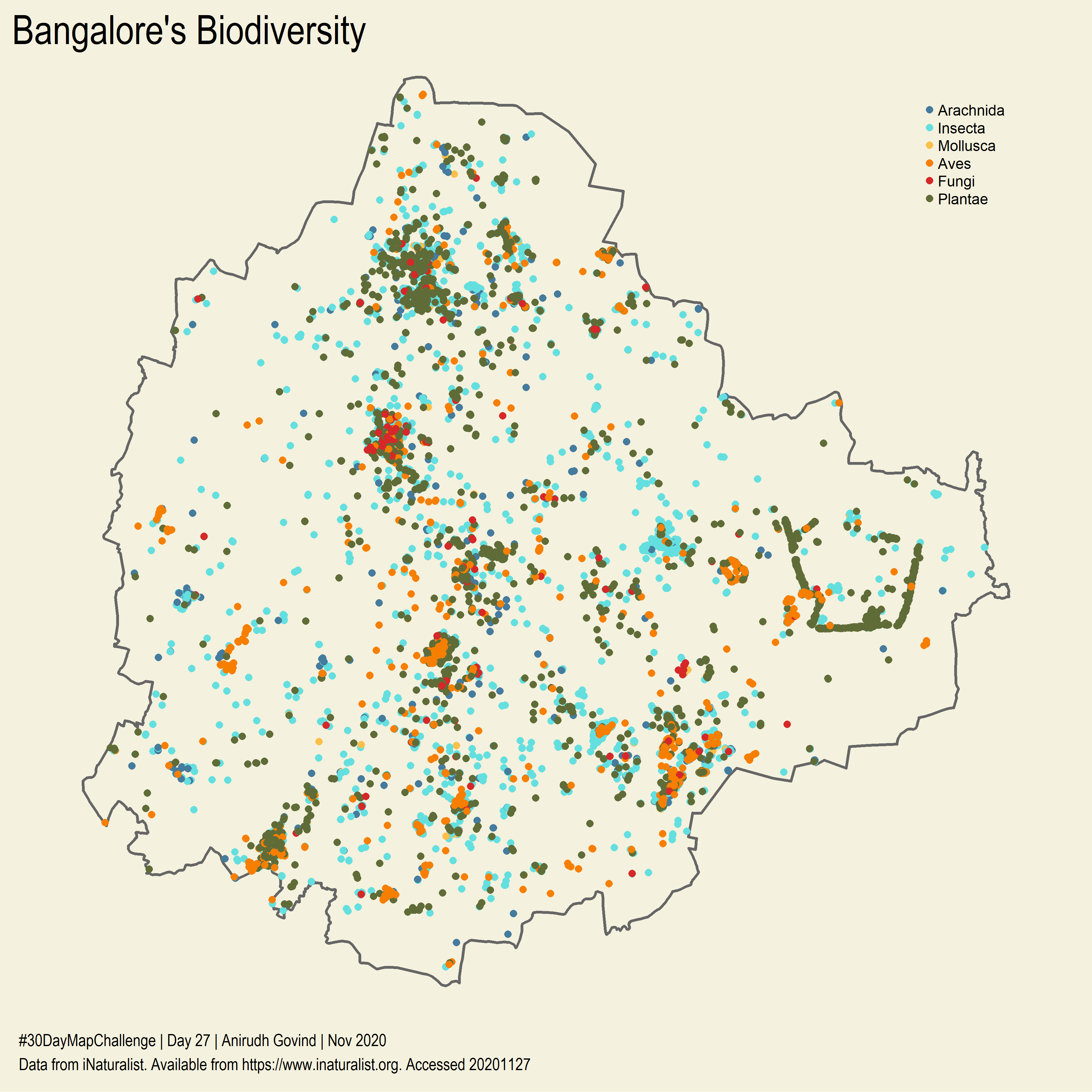
2020-11-27 - Big or small data - What is meaningful big spatial data? What kind of spatial data is small but interesting?
- _anirudhgovind - link
- sporella - link
- afrimapr - link
- JonasStillhard - link
- dickoah - link
2020-11-28 - Non-geographic map - Topological maps, maps about planets, microscopic bacteria mapped or maybe even something weirder
2020-11-29 - Globe - The world isn’t flat, so with this map you can emphase the roundness of our planet
2020-11-30 - A map - No rules. You've made it this far, so do what you want. Just make a map
