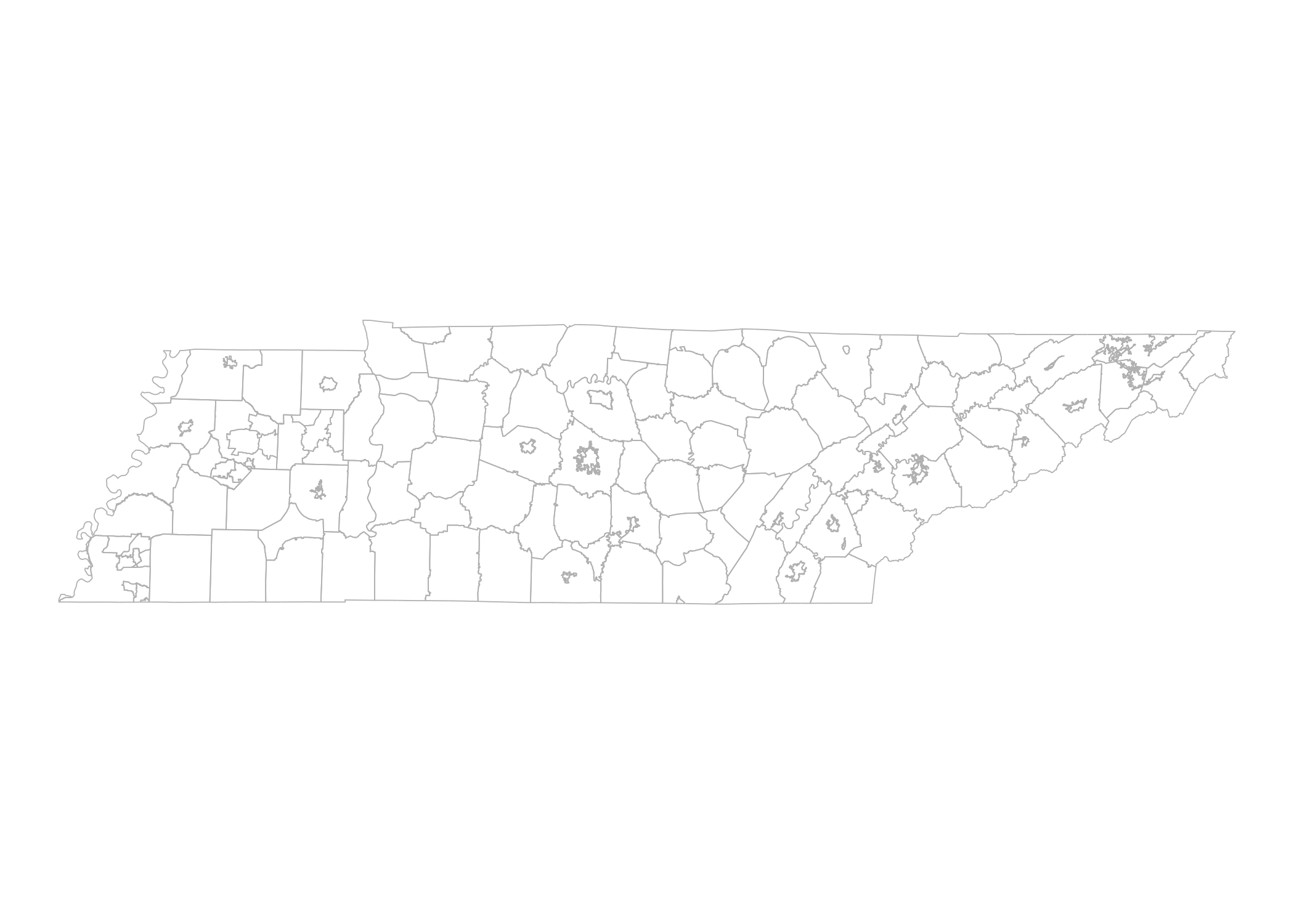
The goal of leaidr is to provide an easy way to map U.S. school districts in R.
You can install the development version of this package from GitHub with:
# install.packages("devtools")
devtools::install_github("ivelasq/leaidr")School districts in the U.S. have associated local education agency identification numbers (LEAID) used in the National Center for Education Statistics (NCES) Common Core of Data. These are very useful because if you have other datasets with NCES ID’s, then you can (sometimes easily) join them.
The original shapefiles can be found on the NCES site. These files are from 2019.
For now, you must use the state’s FIPS code. FIPS state codes are numeric and two-letter alphabetic codes to identify U.S. states and certain other associated areas. Here is a table with the codes for quick reference.
Load the shapefile for the entire U.S. using lea_get(). Loading may
take a while - large files were uploaded to GitHub using ROpenSci’s
{piggyback}. You will have to load the shapefile anytime you’re in a new
directory/project.
You must have a GITHUB_PAT before you can run lea_get(). You can
set a token in your developer
settings and save it in your R
Environment. More info can be found in Happy git with
R.
Run the function lea_prep() to create a shapefile with district
boundaries. If you want the entire U.S., then designate fips = "All".
If you want a specific state, then designate it with the state
abbrevation fips = "47". To designate multiple states, designate it in
a vector fips = c("47", "06").
Once you have the shapefile, you can plot using {leaflet} and {ggplot2}.
library(leaidr)
library(ggplot2)
library(mapproj)

# if you haven't downloaded the shapefile
# lea_get(path = "./leaid_sh")

tn <- lea_prep(path = "./leaid_sh", fips = "47")
#> OGR data source with driver: ESRI Shapefile
#> Source: "/Users/shortessay/leaidr/leaid_sh/schooldistrict_sy1819_tl19.shp", layer: "schooldistrict_sy1819_tl19"
#> with 13315 features
#> It has 18 fields

tn_df <- ggplot2::fortify(tn)

tn_map <-
  ggplot() +
  geom_path(data = tn,
            aes(x = long, y = lat, group = group),
            color = "gray", size = .2) +
  theme_void()

tn_map_projected <-
  tn_map +
  coord_map()

print(tn_map_projected)You can merge other data to the shapefiles using merge(). A
walkthrough on how to do this is available on my
blog.

