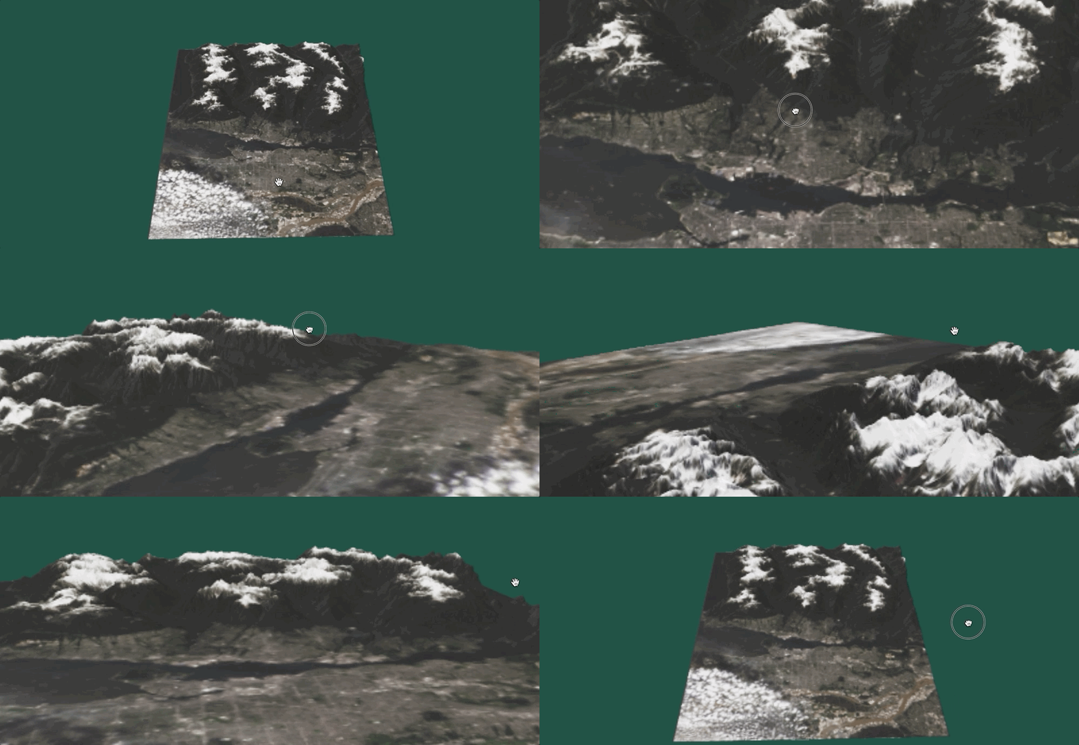
Tool that creates glTF model from CDEM raster grid.
Elevation source: CDEM FTP
Imagery source: sat-api
pip install -r requirements.txt
pip install -e .
download_dir: root directory that will hold raw CDEM dataoutputs_dir: root directory that will store outputs (intermediate and final model)
export download_dir='/path/for/cdem/data'
export outputs_dir='/path/for/outputs'
Usage: main.py [OPTIONS]

Options:
  --coords <FLOAT FLOAT>...       Longitude <space> Latitude  [default: None,
                                  None]

  --zfactor FLOAT                 Elevation stretch factor  [default: 1.0]
  --outsize INTEGER               Square output size, in pixels  [default:
                                  1000]

  --output TEXT                   Output format: gltf|glb  [default: glb]
  --install-completion [bash|zsh|fish|powershell|pwsh]
                                  Install completion for the specified shell.
  --show-completion [bash|zsh|fish|powershell|pwsh]
                                  Show completion for the specified shell, to
                                  copy it or customize the installation.

  --help                          Show this message and exit.
<outputs_dir>/intermediate: various geographic/projected DEMs and images<outputs_dir>/model: gltf/bin or glb model, html viewer for model
python cdemgl/main.py --coords -118.439 52.135
python cdemgl/main.py --coords -118.439 52.135 --zfactor 2
python cdemgl/main.py --coords -118.439 52.135 --output gltf
python cdemgl/main.py --coords -123.069 49.337 --outsize 2000
