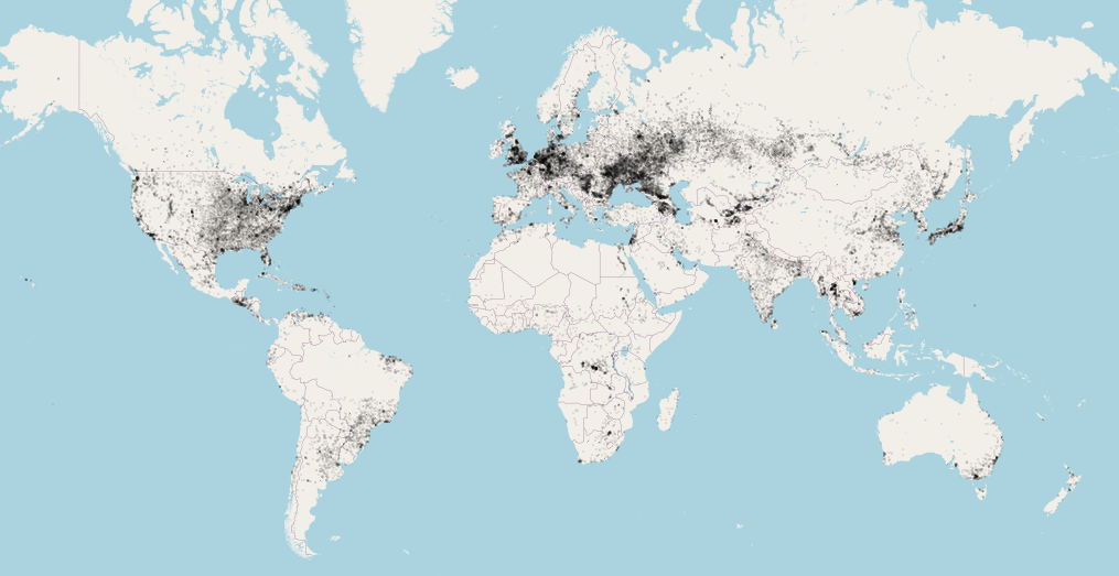
This repo provides a geojson file for city boundaries around the world. Free to use for any project.
- The data is sourced from http://www.vdstech.com/world-data.aspx and converted with http://ogre.adc4gis.com/.
- There are 37,372 cities with defined Polygon boundaries with the precision of 5 decimal points (about 1 meter), although accuracy of the data (how well the polygons define the real-world city boundaries) varies greately.
- Each polygon is only identifiable by city
NAME, from no particular standard. There are many cities with the same name. (eg there are 11SPRINGFIELDs and 2MOSCOWs), either due to duplication or because they are located in different counties/states. - Cities with
NAME = nullwere removed by @ilyankou.
{
  "type": "Feature",
  "properties": {
    "NAME": "LETKI"
    },
  "geometry": {
    "type": "Polygon",
    "coordinates": [
      [
        [ 44.55894, 54.30577 ],
        [ 44.55198, 54.30724 ],
        [ 44.5507,  54.31366 ],
        [ 44.54092, 54.32204 ],
        [ 44.54182, 54.32476 ],
        [ 44.54499, 54.32563 ],
        [ 44.56358, 54.32214 ],
        [ 44.5689,  54.31886 ],
        [ 44.55894, 54.30577 ]
      ]
    ]
  }
}Apache-2.0. Free to use for any project.
