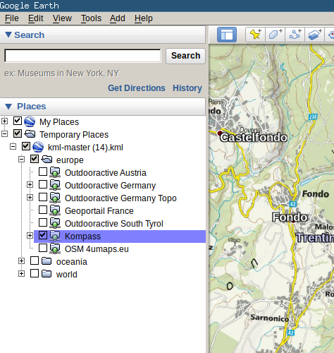
This is a python-based server for creating Google Earth overlays of tiled maps. Your can now also display maps in the web browser, measure distances and print maps as high-quality PDF's.
Developers can also use GEOS as a library to convert coordinates or to access the map printing functionality programmatically.
NEW: geos-web
Use GEOS on the web without installation on geos.gsturm.eu. Note that for legal reasons, the public version comes with a very limited set of maps. You still can install and use GEOS locally with full flexibility!
Documentation is available at https://geos.readthedocs.io/en/latest/
Can GEOS become a unified interface for converting, displaying and using web maps? Like a web-based version of the seemingly old-fashioned MOBAC?
Imagine you can draw and measure on a map like in Swisstopo, download paper maps as simple as with nkart.no and create an offline map for your GPS device just as with MOBAC for any map out there simply in your web browser.
If that sounds as awesome to you as it does to me, feel free to fork and create pull requests or simply drop me a message.
