The purpose of this utility is to process the freely provided FAA/Aeronav digital aviation charts from GeoTiffs into seamless rasters, tiles, and mbtiles suitable for direct use in mapping applications
It has only been tested under Ubuntu 14.10+


TODO
Only optimize tiles if the source raster has changed
Only create mbtiles if the source raster has changed
DONE
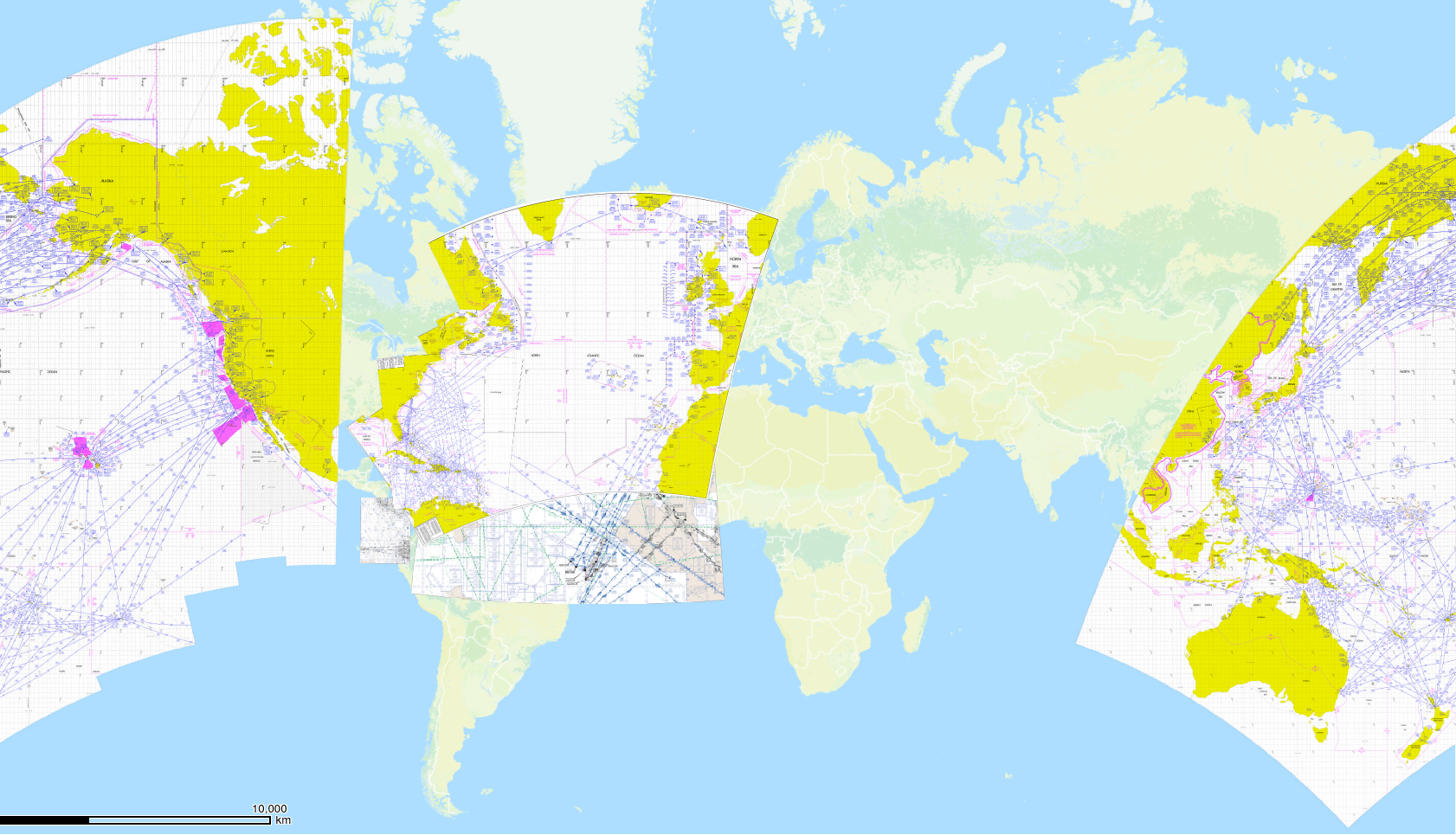
- Handle charts which cross the anti-meridian (tilers_tools handles this)
- Pull out insets and georeference them as necessary
- Pursue a multithreaded gdal2tiles that can auto determine zoom levels
- Use make to update only as necessary  (done via memoize.py)
Requirements
- gdal 1.10+
- wget
- pngquant
- graphicsmagick
- mbutil
- ~200 Gigabytes of free storage
Getting Started
Install various utilities and libraries and create directories
./setup.sh
Determine where you want to save the full set of charts downloaded from the FAA
This will be the first parameter to allcharts.sh
eg /home/testuser/Downloads
Determine the date of the most current set of enroute charts.
This will need to be updated for every new cycle and is the 2nd paramter to allcharts.sh
See http://www.faa.gov/air_traffic/flight_info/aeronav/productcatalog/doles/media/Product_Schedule.pdf for dates through 2029
    eg 12-10-2015
    next will be 02-04-2016
    then 03-31-2016 etc etc.
Edit paths to these utilities as necessary in the tile*.sh scripts
If you use setup.sh they will be cloned from github into this directory so no editing will be necessary
./parallelGdal2Tiles/gdal2tiles.py
./mbutil/mb-util
./tilers_tools/
Edit allCharts.sh to add/remove various options for tile creation and merging as desired
- Using -o will optimize individual tile size using pngquant
- Using -m will create mbtiles for individual and merged charts

Note that both of these will add some significant time to the overall process,
especially the tile optimization (though it does significantly reduce file sizes)
Execute allCharts.sh with correct parameters
./allCharts.sh </path/to/aeronav_charts> <date_of_enroute_set>
    eg. ./allCharts.sh /home/test/Downloads/aeronav 12-10-2015