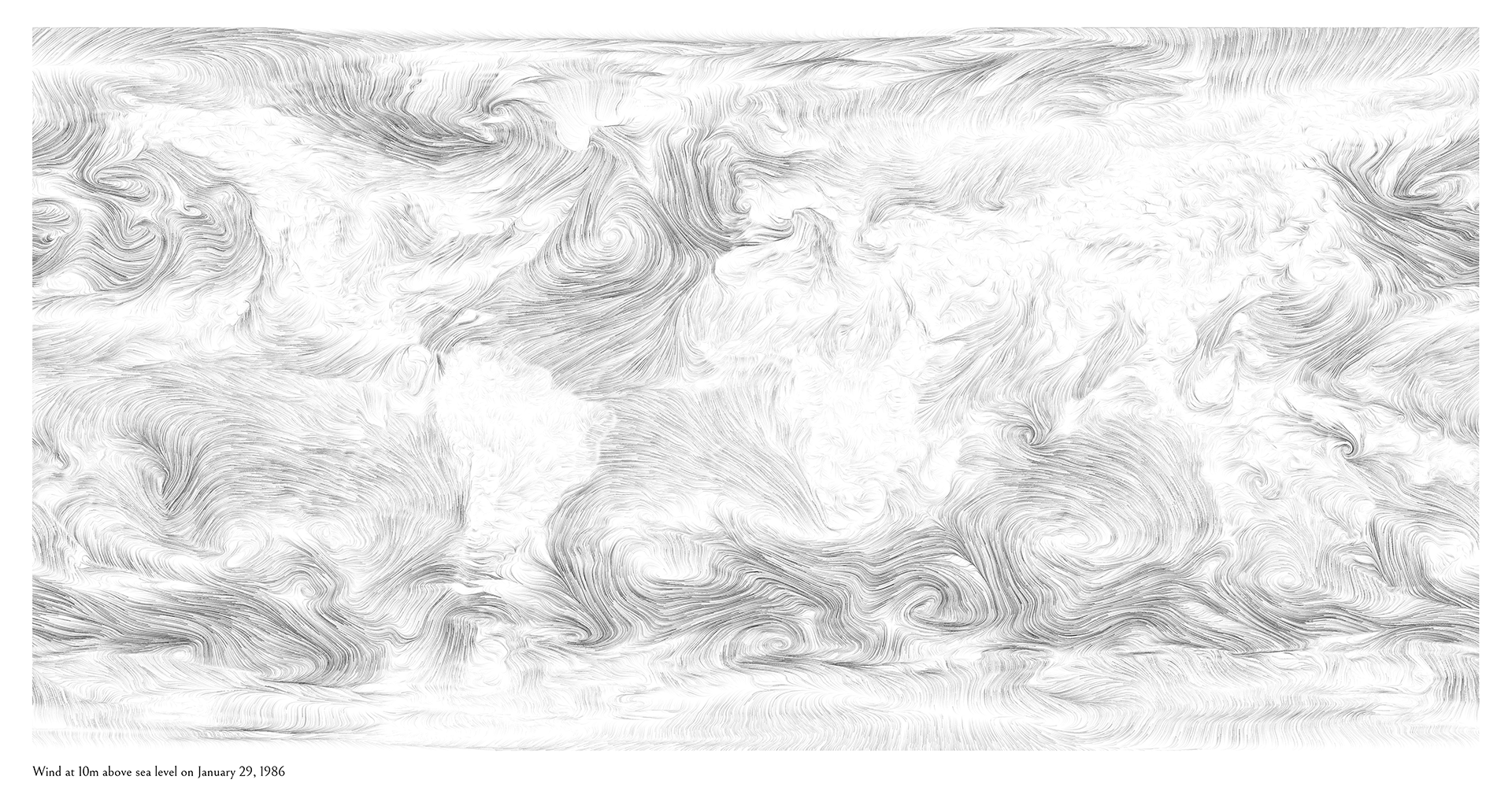
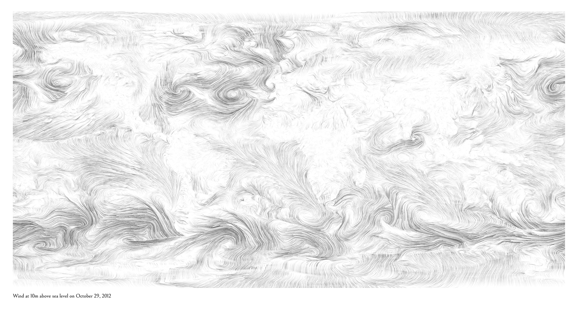
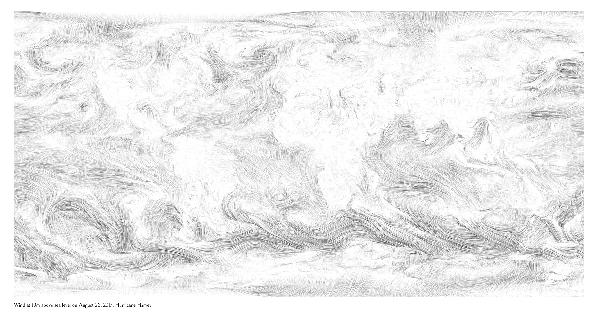
A simple script that grabs wind data from 10 meters above sea level any day/time from January 1, 1979 to about three days ago and outputs a high resolution global wind map in a black-and-white, pencil-drawn style suitable for printing.
My birthday (1/29/1986):
Hurricane Sandy (10/29/2012):
Hurricane Harvey (8/26/2017):
- Python
- pygrib - for reading GRIB files, also requires ecCodes or equivalent
- Python Pillow - for image processing and output
- PyOpenCL - for efficient data processing by taking advantage of graphics card
- curl - for downloading files from internet (alternatively, you can manually download files to ./downloads/ folder)
All data is publicly available from NOAA's National Centers for Environmental Information. It comes from three different datasets depending on the date:
- Dates from Jan 1, 1979 to Mar 31, 2011
- NCEP Climate Forecast System Reanalysis (CFSR) - Time series
- Data resolution: 1760 x 880
- Dates from Apr 1, 2011 to 6 months ago
- CFSv2 Operational Analysis - Time series
- Data resolution: 1760 x 880
- Dates from 6 months ago to about 3 days ago
- Global Forecast System (GFS)
- Data resolution: 720 x 361
The following an image using highres data for January 1, 1979 at noon. You can choose any date after 1/1/1979 up until about three days ago. Valid hours are 00, 06, 12, 18 (every 6 hours starting at midnight). The data is rather large (sometimes > 1GB of data) so may take a little while for slow internet connections or older computers.
python run.py -date " 1979-01-01-12"
The following creates an image that is 17 x 11in with a 1 inch margin (image will be vertically centered) at 150dpi
python run.py -width 17 -height 11 -margin 1 -dpi 150
You can change the number of wind lines
python run.py -particles 100000
Or the length of the wind lines
python run.py -ppp 500
Or overall line brightness
python run.py -brightness 0.5
python run.py -label "My custom label"
To see all the possible parameters:
python run.py -h


