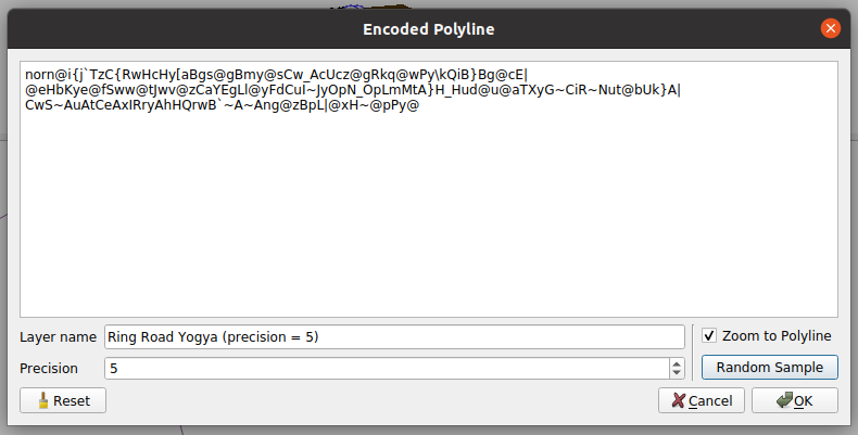
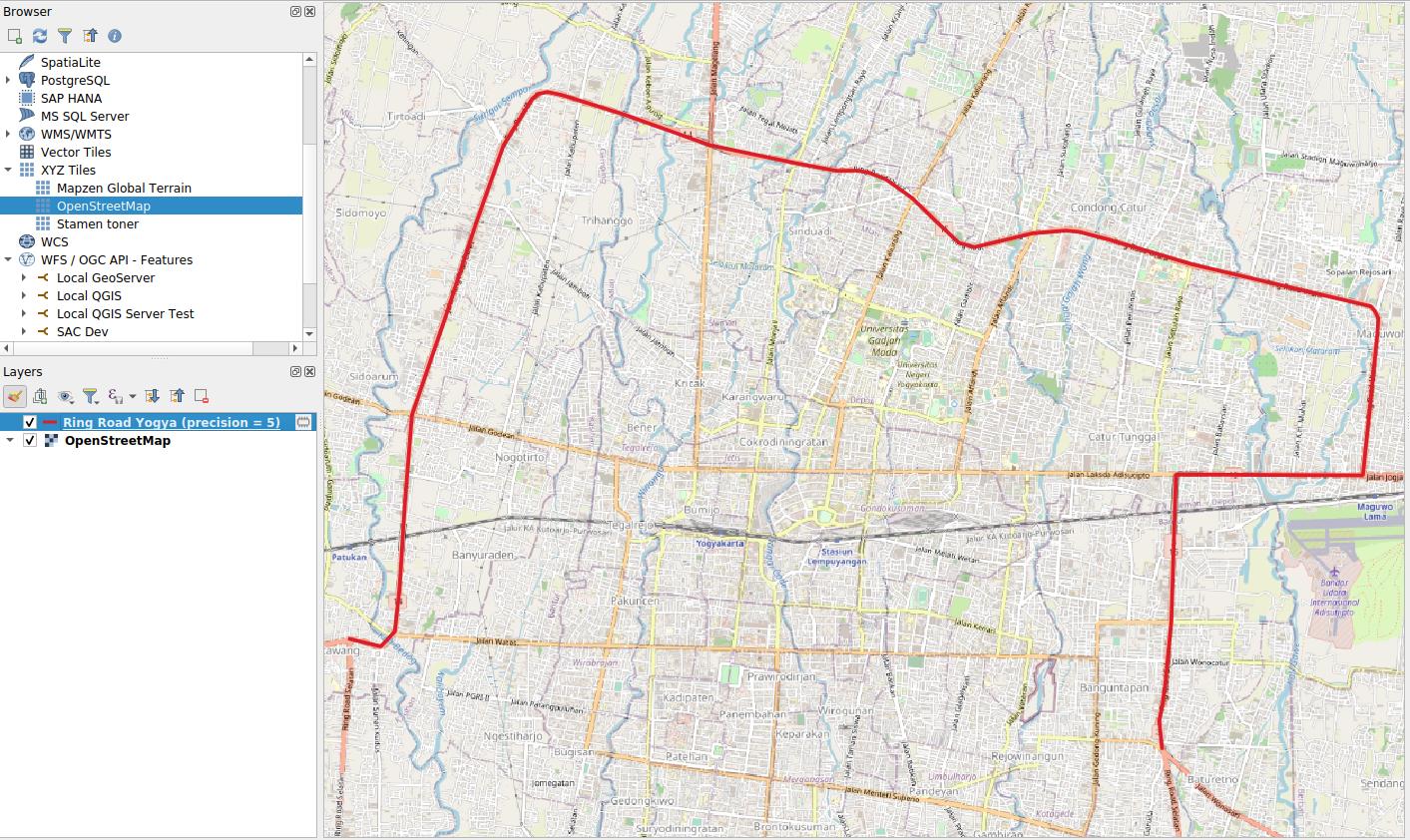
The plugin helps you to decode and visualize an encoded polyline and load it on QGIS as a memory layer.
Encoded Polyline Dialog
Sample output: Yogyakarta Ring Road
It helps to decode or visualize an encoded polyline easier. Especially with a long polyline. I used it for debugging Valhalla's result because the online tool available is limited in functionalities (e.g. can't compare two polylines, hang if the line is long, or not possible to save the result)
- Custom layer name
- Custom precision (Google uses 5, OpenStreetMap uses 6)
- Some samples included
Polyline encoding is a lossy compression algorithm that allows you to store a series of coordinates as a single string. See more explanation by Google Maps here.
- Interactive Polyline Encoder Utility. It only supports 5 digits precision
- Valhalla Demo Tool
- Python code for decoding encoded polyline: https://github.com/frederickjansen/polyline
- Icon is a modification from QGIS's icon: https://github.com/qgis/QGIS/blob/master/images/themes/default/mActionAddPolyline.svg

