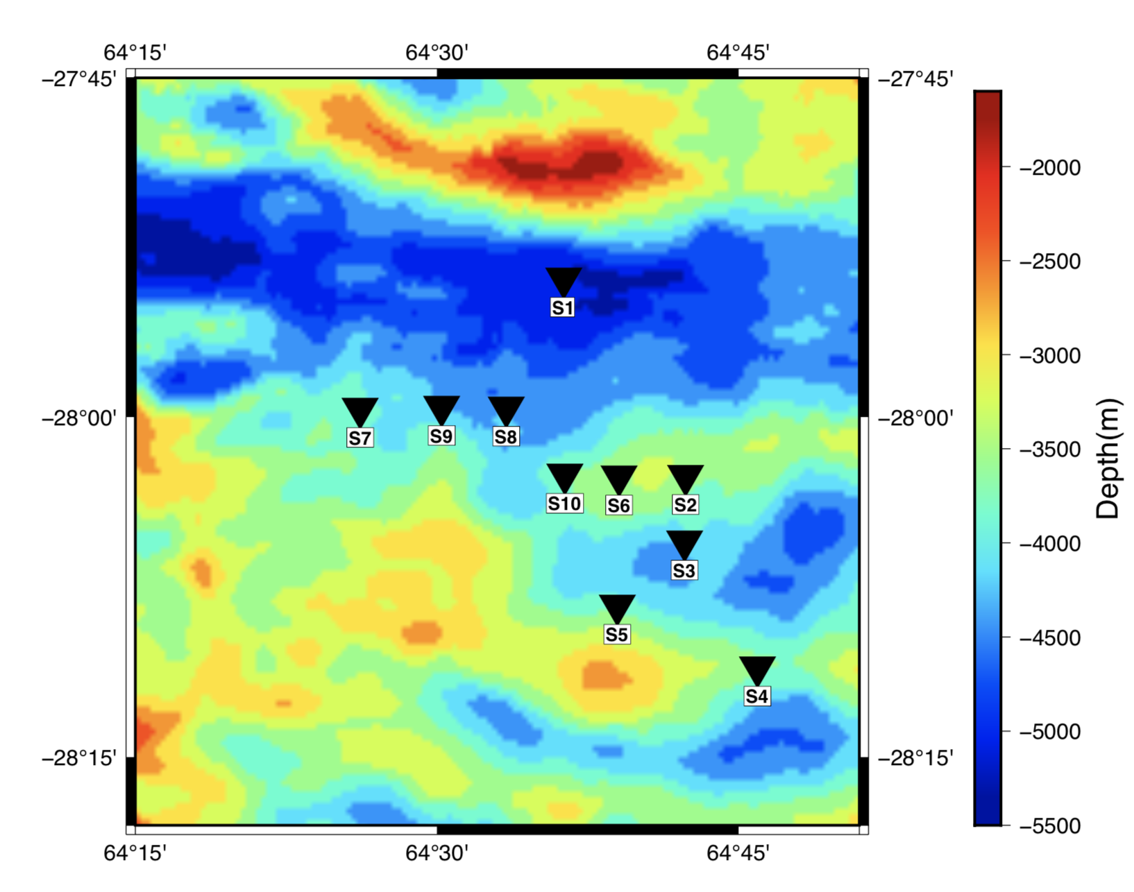
One of the geoscientific requirements is to have the stations on a map of regions.
This is a simple code in Bash to make a map and stations. The example of map can be seen in the following:

By typing the following command in your terminal, you can easily execute the code:
sh swir_map.sh
Before running, you also need to download the following file:
GEBCO_2020.nc
through the following link: https://www.gebco.net/data_and_products/gridded_bathymetry_data/
DISCLAIMER: I don't warrant this code in any way whatsoever. This code is provided "as-is" to be used at your own risk.