Experimental project to integrate Obsidian and ArcGIS using the ArcGIS API for JavaScript.
Note: This project is for my own education, and due to limitations mentioned below is not suitable for production use.
-
Sync notes with feature service: Specify geographic locations in note frontmatter, then sync notes to a feature service to automatically map your Obsidian vault. Features include a link back to the vault, so you can easily navigate between your map and your vault.
-
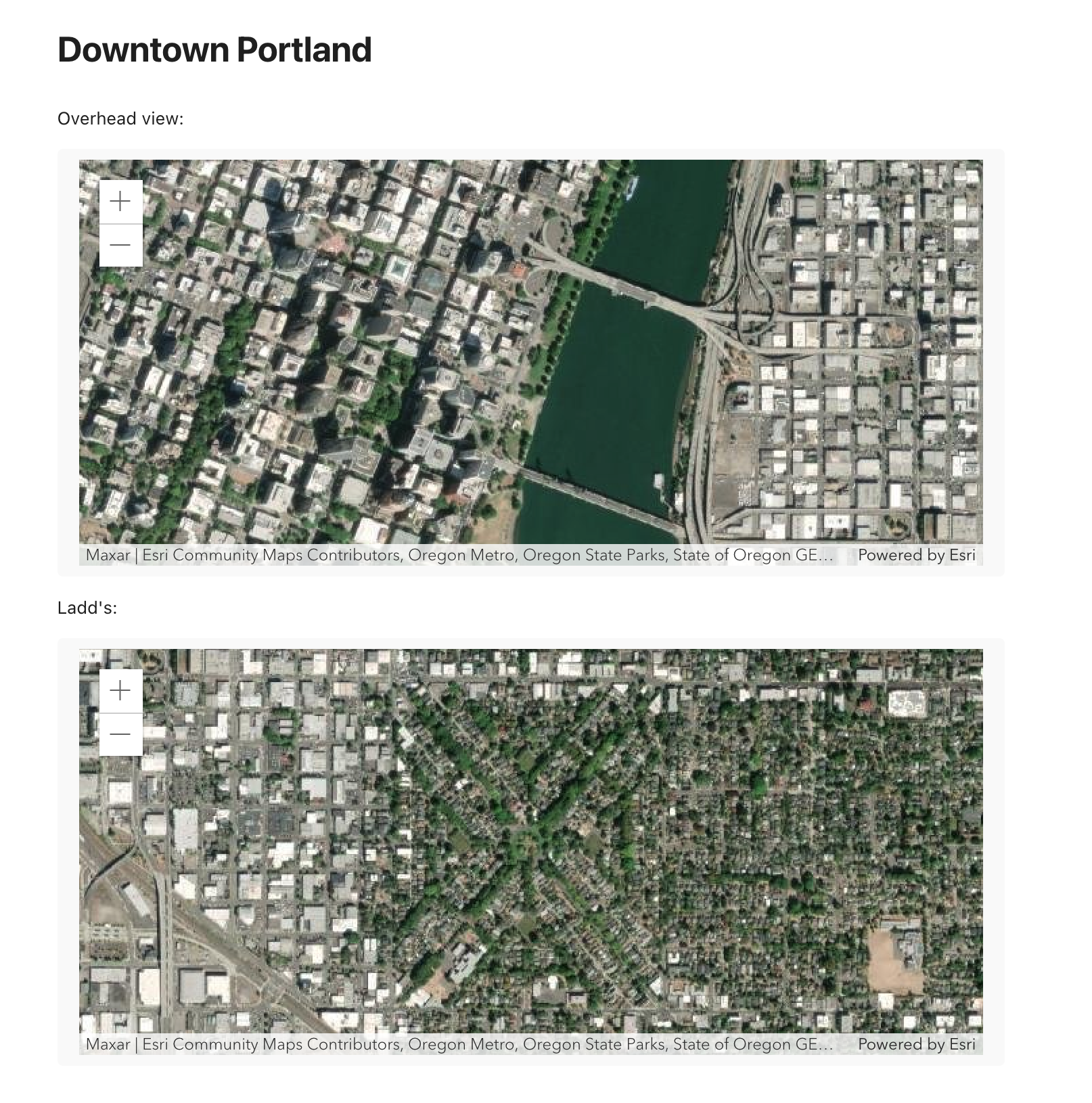
Embed a basic map in a note: To embed a map view showing a basemap, add a code block with the language set to
arcgis.```arcgis basemap: imagery ``` -
Embed a web map by ID: To embed a web map, add a code block with arcgis language and set an id:
```arcgis id: 64df037d4b3949a68398d3f20da78c17 ``` -
Define center and scale: You can specify the center of the initial viewpoint and the initial scale:
```arcgis
basemap: arcgis-imagery
center: [-122.64932766603697, 45.50838206781943]
zoom: 15
```
Simple maps embedded in note:
- The ArcGIS API does not support loading images in a node environment. For development use, request.js can be patched to remove the node check, and imagery basemaps will work correctly, but that violates the terms of use.
- The ArcGIS API by default does not render vector tile layers in Electron apps where
nodeIntegrationInWorkersis true, which appears to be the case for Obsidian.
