Contents
Purpose: Large scale computing, large disk storage, GPU access.
Description: The SuperCloud allows for large batch processing that can be done in parallel, and access to dual v100 gpu nodes
Link: supercloud
Purpose: Large scale gpu computing, large ram and nvlink/infiniband support
Description: The satori cluster allows for large scale gpu batch processing.
Link: satori
Point of Contact: cnh@mit.edu
Over 10k spatially and temporally aligned image sequences from 5 weather sensors, including visible and infrared satellite, weather radar, and the geostationary lightning mapper. Many samples in SEVIR correspond to NOAA’s Storm Event Database. For more info see (sevir.mit.edu).
Size: Approximately 1TB. Total number of videos: 76k Total number of image frames across all videos: 3.7 million
Location: Available on MIT Supercloud system (requires you to be a member of the EarthIntelligence group). Located in EarthIntelligence/datasets/SEVIR
Link: Not yet available. We plan to upload to AWS in summer 2020.
Other info: Dataset tools located in sevir.
Point of Contact: mark.veillette@ll.mit.edu
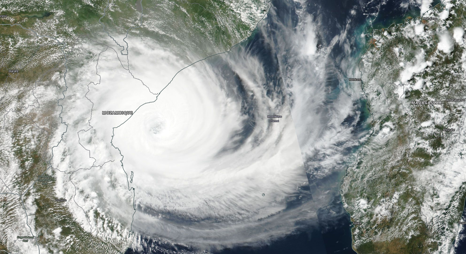
Images of Earth ranging from 250m resolution to 3m resolution and with frequency bands ranging from RGB-IR to 36 bands.
Size: many Terabytes.
Location: AWS, NASA, Planet, and other locations
Link: worldview
Point of Contact: branlesh@mit.edu
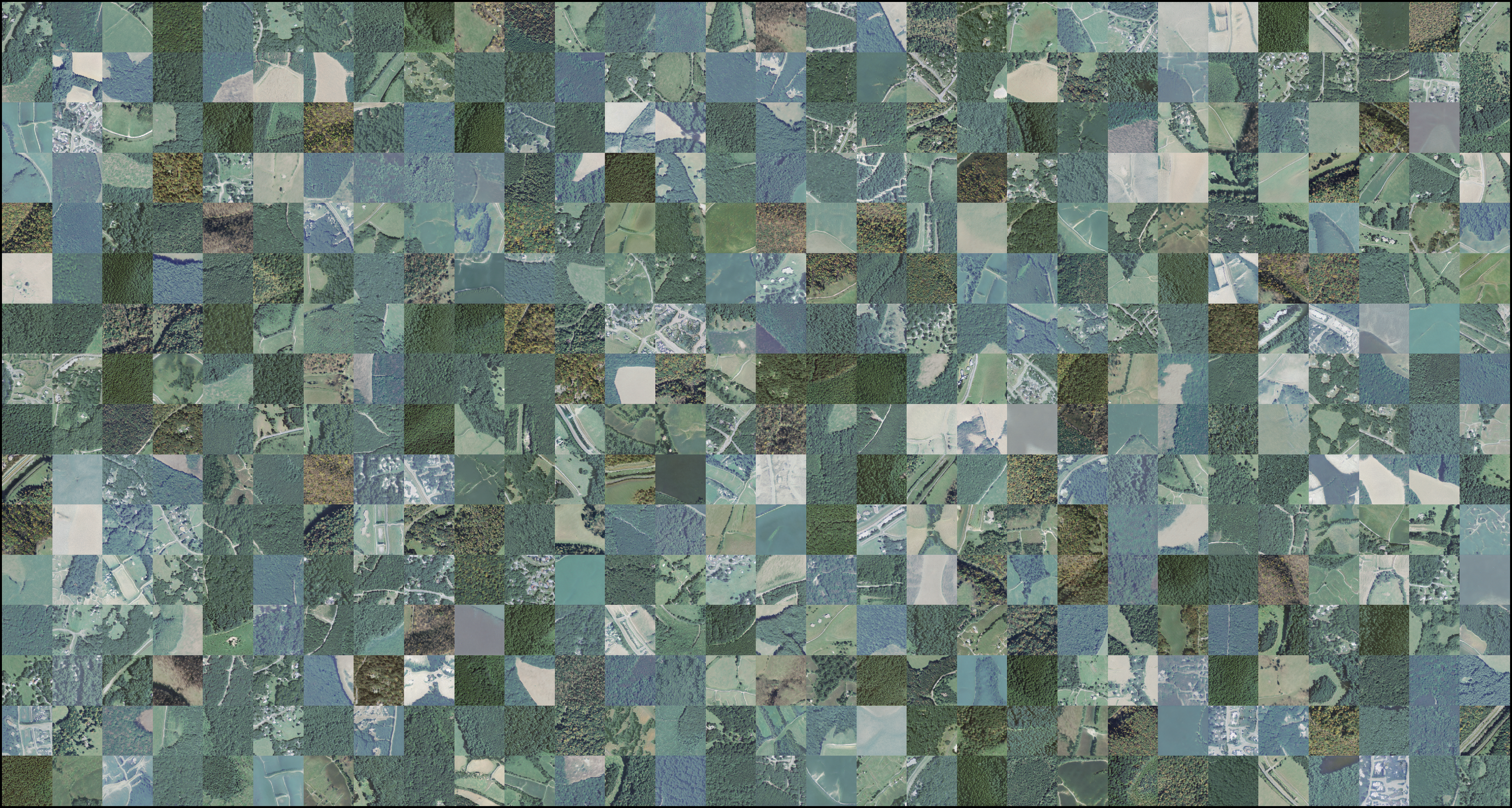
This dataset contains high-resolution aerial imagery from the USDA NAIP program, high-resolution land cover labels from the Chesapeake Conservancy, low-resolution land cover labels from the USGS NLCD 2011 dataset, low-resolution multi-spectral imagery from Landsat 8, and high-resolution building footprint masks from Microsoft Bing, formatted to accelerate machine learning research into land cover mapping.
Size: Nearly 1 TB.
Link: landcover_data
Point of Contact: branlesh@mit.edu
Inputs: Image Data
Outputs: Image Data
Description: GAN for generating synthetic images from input data distribution, can be used to mix "styles", e.g. winter to summer.
Location: several branches have been made to support running on supercloud, satori, and local clusters. Weights coming soon.
Link(s): stylegan2 , imagery_utils
Point of Contact: petermor@mit.edu
Inputs: 1-m resolution satellite imagery.
Outputs: 5-class segmentation map.
Description: U-Net architecture.
Link: landcover_model
Point of Contact: branlesh@mit.edu
- Still need help ? Email petermor@mit.edu


